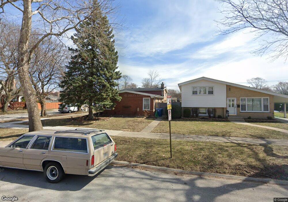
9701 Cook Ave Oak Lawn, IL 60453
Estimated Value: $294,000 - $354,000
3
Beds
2
Baths
1,277
Sq Ft
$247/Sq Ft
Est. Value
About This Home
This home is located at 9701 Cook Ave, Oak Lawn, IL 60453 and is currently estimated at $315,365, approximately $246 per square foot. 9701 Cook Ave is a home located in Cook County with nearby schools including Sward Elementary School, J Covington Elementary School, and Kolmar Avenue Elementary School.
Ownership History
Date
Name
Owned For
Owner Type
Purchase Details
Closed on
Aug 2, 2011
Sold by
Ewers Michael J and Ewers Catherine M
Bought by
Ewers Catherine M
Current Estimated Value
Home Financials for this Owner
Home Financials are based on the most recent Mortgage that was taken out on this home.
Original Mortgage
$256,300
Interest Rate
4.64%
Mortgage Type
New Conventional
Create a Home Valuation Report for This Property
The Home Valuation Report is an in-depth analysis detailing your home's value as well as a comparison with similar homes in the area
Home Values in the Area
Average Home Value in this Area
Purchase History
| Date | Buyer | Sale Price | Title Company |
|---|---|---|---|
| Ewers Catherine M | -- | None Available |
Source: Public Records
Mortgage History
| Date | Status | Borrower | Loan Amount |
|---|---|---|---|
| Open | Ewers Catherine M | $209,000 | |
| Closed | Ewers Catherine M | $256,300 | |
| Closed | Ewers Michael J | $264,000 | |
| Closed | Ewers Michael J | $264,000 | |
| Closed | Ewers Michael J | $273,600 | |
| Closed | Ewers Michael J | $7,000 | |
| Closed | Ewers Michael J | $244,000 | |
| Previous Owner | Ewers Michael J | $162,400 |
Source: Public Records
Tax History Compared to Growth
Tax History
| Year | Tax Paid | Tax Assessment Tax Assessment Total Assessment is a certain percentage of the fair market value that is determined by local assessors to be the total taxable value of land and additions on the property. | Land | Improvement |
|---|---|---|---|---|
| 2024 | $5,649 | $21,122 | $2,130 | $18,992 |
| 2023 | $5,061 | $21,122 | $2,130 | $18,992 |
| 2022 | $5,061 | $16,098 | $1,864 | $14,234 |
| 2021 | $4,976 | $16,096 | $1,863 | $14,233 |
| 2020 | $4,942 | $16,096 | $1,863 | $14,233 |
| 2019 | $4,560 | $15,318 | $1,686 | $13,632 |
| 2018 | $4,385 | $15,318 | $1,686 | $13,632 |
| 2017 | $4,410 | $15,318 | $1,686 | $13,632 |
| 2016 | $4,530 | $14,365 | $1,420 | $12,945 |
| 2015 | $4,444 | $14,365 | $1,420 | $12,945 |
| 2014 | $4,410 | $14,365 | $1,420 | $12,945 |
| 2013 | $4,718 | $16,767 | $1,420 | $15,347 |
Source: Public Records
Map
Nearby Homes
- 9706 S 52nd Ave
- 9711 Tulley Ave
- 9618 S 51st Ave
- 9535 S 53rd Ave Unit 3S
- 5368 W 96th St Unit 2S
- 9439 S 52nd Ave
- 9735 S 55th Ave
- 9828 Warren Ave
- 9807 Washington Ave
- 9336 Tulley Ave
- 9429 S 55th Ave
- 10012 S 52nd Ave
- 9712 W Shore Dr
- 9330 S 51st Ave
- 10021 Cook Ave
- 10010 Harnew Rd W Unit 1
- 9301 Raymond Ave
- 9600 Central Ave
- 9330 S 50th Ave
- 9953 Elm Circle Dr