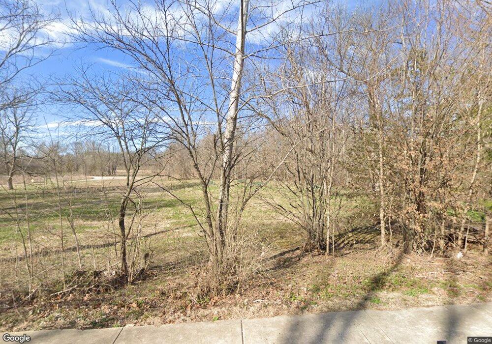
9701 Litzsinger Rd Saint Louis, MO 63124
Estimated Value: $1,206,000 - $1,500,000
--
Bed
--
Bath
--
Sq Ft
1.83
Acres
About This Home
This home is located at 9701 Litzsinger Rd, Saint Louis, MO 63124 and is currently estimated at $1,348,557. 9701 Litzsinger Rd is a home located in St. Louis County with nearby schools including Reed Elementary, Ladue 5th Grade Center, and Ladue Middle.
Ownership History
Date
Name
Owned For
Owner Type
Purchase Details
Closed on
Jul 20, 2021
Sold by
Litzsinger Road Ecology Foundation
Bought by
Litzsinger Road Ecology Foundation
Current Estimated Value
Purchase Details
Closed on
Dec 2, 2005
Sold by
Litzsinger Road Ecology Foundation
Bought by
Litzsinger Road Ecology Foundation
Purchase Details
Closed on
Sep 5, 2000
Sold by
Wilbur Strauss Arnold and Wilbur Patricia Wilbur
Bought by
Litzsinger Road Ecology Foundation
Create a Home Valuation Report for This Property
The Home Valuation Report is an in-depth analysis detailing your home's value as well as a comparison with similar homes in the area
Home Values in the Area
Average Home Value in this Area
Purchase History
| Date | Buyer | Sale Price | Title Company |
|---|---|---|---|
| Litzsinger Road Ecology Foundation | -- | None Available | |
| Litzsinger Road Ecology Foundation | -- | -- | |
| Litzsinger Road Ecology Foundation | $550,000 | -- |
Source: Public Records
Tax History Compared to Growth
Tax History
| Year | Tax Paid | Tax Assessment Tax Assessment Total Assessment is a certain percentage of the fair market value that is determined by local assessors to be the total taxable value of land and additions on the property. | Land | Improvement |
|---|---|---|---|---|
| 2025 | $3,157 | $86,930 | $86,930 | -- |
| 2024 | $3,157 | $52,160 | $52,160 | -- |
| 2023 | $3,157 | $52,160 | $52,160 | -- |
| 2022 | $3,040 | $43,470 | $43,470 | $0 |
| 2021 | $3,157 | $47,460 | $47,460 | $0 |
| 2020 | $6,346 | $94,910 | $94,910 | $0 |
| 2019 | $6,253 | $94,910 | $94,910 | $0 |
| 2018 | $6,774 | $94,910 | $94,910 | $0 |
| 2017 | $6,745 | $94,910 | $94,910 | $0 |
| 2016 | $6,971 | $94,910 | $94,910 | $0 |
| 2015 | $6,646 | $94,910 | $94,910 | $0 |
| 2014 | $5,449 | $75,090 | $75,090 | $0 |
Source: Public Records
Map
Nearby Homes
- 24 Daniel Rd
- 80 Sorrel Ln
- 9780 Old Warson Rd
- 13 Ladue Crest Ln
- 1322 Kortwright Ave
- 9401 Pine Ave
- 9844 Oak Haven Ave
- 2 Northcote Rd
- 9386 Golden Gate Rd
- 9839 Warson Pointe Dr
- 9840 Oak Haven Ave
- 1235 Charlane Ct
- 2642 McKnight Crossing Ct
- 1119 Gilbert Ave
- 9714 Whitestone Terrace
- 1120 Gilbert Ave
- 1923 Parkridge Ave
- 1146 Kortwright Ave
- 1551 Swallow Dr
- 9074 W Swan Cir