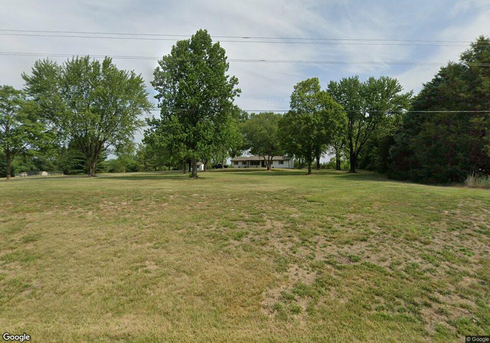
9701 S Route N Columbia, MO 65203
Estimated Value: $271,000 - $499,000
3
Beds
3
Baths
2,100
Sq Ft
$198/Sq Ft
Est. Value
About This Home
This home is located at 9701 S Route N, Columbia, MO 65203 and is currently estimated at $414,888, approximately $197 per square foot. 9701 S Route N is a home located in Boone County with nearby schools including Rock Bridge Elementary School, Ann Hawkins Gentry Middle School, and Rock Bridge High School.
Ownership History
Date
Name
Owned For
Owner Type
Purchase Details
Closed on
Feb 25, 2021
Sold by
Sterk James M and Sterk Debra
Bought by
James M And Debra J Sterk Family Truts
Current Estimated Value
Purchase Details
Closed on
Jun 15, 2020
Sold by
Kec Residential Llc
Bought by
Sterk James M and Sterk Debra
Home Financials for this Owner
Home Financials are based on the most recent Mortgage that was taken out on this home.
Original Mortgage
$276,000
Outstanding Balance
$244,653
Interest Rate
3.2%
Mortgage Type
New Conventional
Estimated Equity
$170,235
Purchase Details
Closed on
Mar 12, 2019
Sold by
Wells Fargo Bank National Association
Bought by
Kec Residential Llc
Purchase Details
Closed on
May 28, 2010
Sold by
Livingston William W and Livingston Melissa K
Bought by
Smith Robert W
Home Financials for this Owner
Home Financials are based on the most recent Mortgage that was taken out on this home.
Original Mortgage
$182,541
Interest Rate
5.5%
Mortgage Type
FHA
Create a Home Valuation Report for This Property
The Home Valuation Report is an in-depth analysis detailing your home's value as well as a comparison with similar homes in the area
Home Values in the Area
Average Home Value in this Area
Purchase History
| Date | Buyer | Sale Price | Title Company |
|---|---|---|---|
| James M And Debra J Sterk Family Truts | -- | None Available | |
| Sterk James M | -- | Boone Central Title Company | |
| Kec Residential Llc | -- | None Available | |
| Smith Robert W | -- | None Available |
Source: Public Records
Mortgage History
| Date | Status | Borrower | Loan Amount |
|---|---|---|---|
| Open | Sterk James M | $276,000 | |
| Previous Owner | Smith Robert W | $182,541 |
Source: Public Records
Tax History Compared to Growth
Tax History
| Year | Tax Paid | Tax Assessment Tax Assessment Total Assessment is a certain percentage of the fair market value that is determined by local assessors to be the total taxable value of land and additions on the property. | Land | Improvement |
|---|---|---|---|---|
| 2025 | $2,910 | $41,382 | $7,600 | $33,782 |
| 2024 | $2,720 | $37,620 | $7,600 | $30,020 |
| 2023 | $2,697 | $37,620 | $7,600 | $30,020 |
| 2022 | $2,496 | $34,840 | $7,600 | $27,240 |
| 2021 | $2,500 | $34,840 | $7,600 | $27,240 |
| 2020 | $1,527 | $20,088 | $4,009 | $16,079 |
| 2019 | $1,527 | $20,088 | $4,009 | $16,079 |
| 2018 | $1,423 | $0 | $0 | $0 |
| 2017 | $1,407 | $18,601 | $4,009 | $14,592 |
| 2016 | $1,405 | $18,601 | $4,009 | $14,592 |
| 2015 | $1,297 | $18,601 | $4,009 | $14,592 |
| 2014 | $1,300 | $18,601 | $4,009 | $14,592 |
Source: Public Records
Map
Nearby Homes
- 9747 South Route N
- 11950 State Route N
- LOT 210 E Monaco Ct
- LOT 209 E Monaco Ct
- 214 E Brook Valley Dr
- LOT 201 E Brook Valley Dr
- LOT 243 Brook Valley Dr
- LOT 202 E Brook Valley Dr
- LOT 242 E Brook Valley Dr
- LOT 6 Lagos Dr
- LOT 222 S Lagos Dr
- LOT 239 S Lagos Dr
- LOT 240 Lagos Dr
- LOT 205 S Lagos Dr
- LOT 237 S Lagos Dr
- 1152 E Bluebird Ln
- 370 W High Point Ln
- 70 E High Point Ln
- TBD E Bluebird Ln
- 7502 S Hill Creek Rd
- 101 W Stanley Poe Rd
- 201 W Stanley Poe Rd
- 101 E Spangler Ln
- 9490 S Constien Rd
- 9747 S Route N
- 9747 N Route N
- 103 E Spangler Ln
- 125 E Spangler Ln
- 401 W Robin Ridge Rd
- - Constien Rd
- 9680 S Route N
- 9680 South Route N
- 102 E Spangler Ln
- 100 E Spangler Ln
- 9390 S Constien Rd
- 9675 S Constien Rd
- 9650 S Route N
- 405 W Robin Ridge Rd
- 400 W Robin Ridge Rd
- 400 Robin Ridge