9702 Brushy Fork Rd Tell City, IN 47586
Estimated Value: $183,000 - $302,048
3
Beds
1
Bath
1,390
Sq Ft
$179/Sq Ft
Est. Value
About This Home
This home is located at 9702 Brushy Fork Rd, Tell City, IN 47586 and is currently estimated at $249,262, approximately $179 per square foot. 9702 Brushy Fork Rd is a home located in Perry County with nearby schools including William Tell Elementary School and Tell City Junior/Senior High School.
Ownership History
Date
Name
Owned For
Owner Type
Purchase Details
Closed on
May 21, 2024
Sold by
Duke Larry G and Duke Kathy F
Bought by
Lattus Augustine David
Current Estimated Value
Home Financials for this Owner
Home Financials are based on the most recent Mortgage that was taken out on this home.
Original Mortgage
$37,000
Outstanding Balance
$34,951
Interest Rate
6.39%
Mortgage Type
New Conventional
Estimated Equity
$214,311
Create a Home Valuation Report for This Property
The Home Valuation Report is an in-depth analysis detailing your home's value as well as a comparison with similar homes in the area
Home Values in the Area
Average Home Value in this Area
Purchase History
| Date | Buyer | Sale Price | Title Company |
|---|---|---|---|
| Lattus Augustine David | $50,000 | None Listed On Document |
Source: Public Records
Mortgage History
| Date | Status | Borrower | Loan Amount |
|---|---|---|---|
| Open | Lattus Augustine David | $37,000 |
Source: Public Records
Tax History Compared to Growth
Tax History
| Year | Tax Paid | Tax Assessment Tax Assessment Total Assessment is a certain percentage of the fair market value that is determined by local assessors to be the total taxable value of land and additions on the property. | Land | Improvement |
|---|---|---|---|---|
| 2024 | $1,549 | $207,300 | $79,400 | $127,900 |
| 2023 | $1,616 | $190,200 | $79,400 | $110,800 |
| 2022 | $1,083 | $165,500 | $56,600 | $108,900 |
| 2021 | $1,489 | $159,700 | $61,000 | $98,700 |
| 2020 | $1,465 | $154,600 | $63,100 | $91,500 |
| 2019 | $1,463 | $151,700 | $61,000 | $90,700 |
| 2018 | $1,857 | $148,700 | $61,000 | $87,700 |
| 2017 | $1,786 | $145,700 | $61,000 | $84,700 |
| 2016 | $1,870 | $145,200 | $61,000 | $84,200 |
| 2014 | $2,067 | $145,500 | $61,000 | $84,500 |
| 2013 | $2,067 | $143,500 | $61,000 | $82,500 |
Source: Public Records
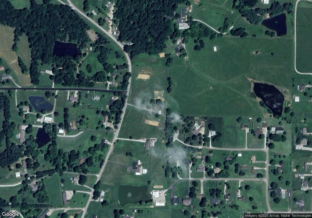
Map
Nearby Homes
- 9485 Singleton Rd
- 9765 Stardust Rd
- 0 Brushy Fork Rd
- Revolution Craftsman Plan at Forest Canton Heights
- Patriot Craftsman Plan at Forest Canton Heights
- National Craftsman Plan at Forest Canton Heights
- Cumberland Craftsman Plan at Forest Canton Heights
- Teton Craftsman Plan at Forest Canton Heights
- Summit Craftsman Plan at Forest Canton Heights
- 9040 Steward Rd
- 9225 Sunset Rd
- 9150 Doctor N A James Ave Unit 4
- 0 Starlite Rd
- 8700 Brushy Fork Rd
- 1804 12th St
- 1634 13th St
- 1341 17th St
- 1241 20th St
- 1148 20th St
- 0 Hwy 66 Unit 11177769
- 9626 Brushy Fork Rd
- 3321 Seymour Rd
- 3440 Sullivan Rd
- 9657 Brushy Fork Rd
- 3320 Seymour Rd
- 3434 Summerfield Rd
- 9784 Brushy Fork Rd
- 9594 Brushy Fork Rd
- 9627 Brushy Fork Rd
- 3465 Summerfield Rd
- 3502 Sullivan Rd
- 3281 Seymour Rd
- 3484 Summerfield Rd
- 9651 Brushy Fork Rd
- 3241 Seymour Rd
- 9806 Brushy Fork Rd
- 3494 Summerfield Rd
- 3532 Sullivan Rd
- 3558 Sullivan Rd
- 9587 Brushy Fork Rd