9703 Seeman Rd Union, IL 60180
Riley NeighborhoodEstimated Value: $707,000 - $932,000
Studio
--
Bath
--
Sq Ft
5
Acres
About This Home
This home is located at 9703 Seeman Rd, Union, IL 60180 and is currently estimated at $770,473. 9703 Seeman Rd is a home located in McHenry County with nearby schools including Leggee Elementary School, Heineman Middle School, and Huntley High School.
Ownership History
Date
Name
Owned For
Owner Type
Purchase Details
Closed on
Nov 21, 2023
Sold by
Lengle Philip J and Lengle Lisa G
Bought by
Lengle Philip J and Lengle Lisa G
Current Estimated Value
Purchase Details
Closed on
Feb 26, 2001
Sold by
Kerl Donald R and Miranda Franklin
Bought by
Lengle Philip and Lengle Lisa G
Home Financials for this Owner
Home Financials are based on the most recent Mortgage that was taken out on this home.
Original Mortgage
$235,000
Interest Rate
7.03%
Purchase Details
Closed on
Jan 12, 1998
Sold by
Borhart Leonard G and Borhart Anne M
Bought by
Kerl Donald R and Miranda Franklin
Home Financials for this Owner
Home Financials are based on the most recent Mortgage that was taken out on this home.
Original Mortgage
$256,500
Interest Rate
7.16%
Create a Home Valuation Report for This Property
The Home Valuation Report is an in-depth analysis detailing your home's value as well as a comparison with similar homes in the area
Home Values in the Area
Average Home Value in this Area
Purchase History
| Date | Buyer | Sale Price | Title Company |
|---|---|---|---|
| Lengle Philip J | -- | None Listed On Document | |
| Lengle Philip | $325,000 | -- | |
| Kerl Donald R | $270,000 | Chicago Title |
Source: Public Records
Mortgage History
| Date | Status | Borrower | Loan Amount |
|---|---|---|---|
| Previous Owner | Lengle Philip | $235,000 | |
| Previous Owner | Kerl Donald R | $256,500 |
Source: Public Records
Tax History
| Year | Tax Paid | Tax Assessment Tax Assessment Total Assessment is a certain percentage of the fair market value that is determined by local assessors to be the total taxable value of land and additions on the property. | Land | Improvement |
|---|---|---|---|---|
| 2024 | $13,645 | $213,066 | $55,467 | $157,599 |
| 2023 | $13,484 | $192,680 | $50,160 | $142,520 |
| 2022 | $12,785 | $175,244 | $45,621 | $129,623 |
| 2021 | $12,387 | $165,246 | $43,018 | $122,228 |
| 2020 | $12,242 | $160,980 | $41,907 | $119,073 |
| 2019 | $11,820 | $154,019 | $40,095 | $113,924 |
| 2018 | $11,081 | $146,993 | $38,266 | $108,727 |
| 2017 | $11,100 | $141,872 | $36,933 | $104,939 |
| 2016 | $11,226 | $136,468 | $35,526 | $100,942 |
| 2013 | -- | $128,572 | $33,471 | $95,101 |
Source: Public Records
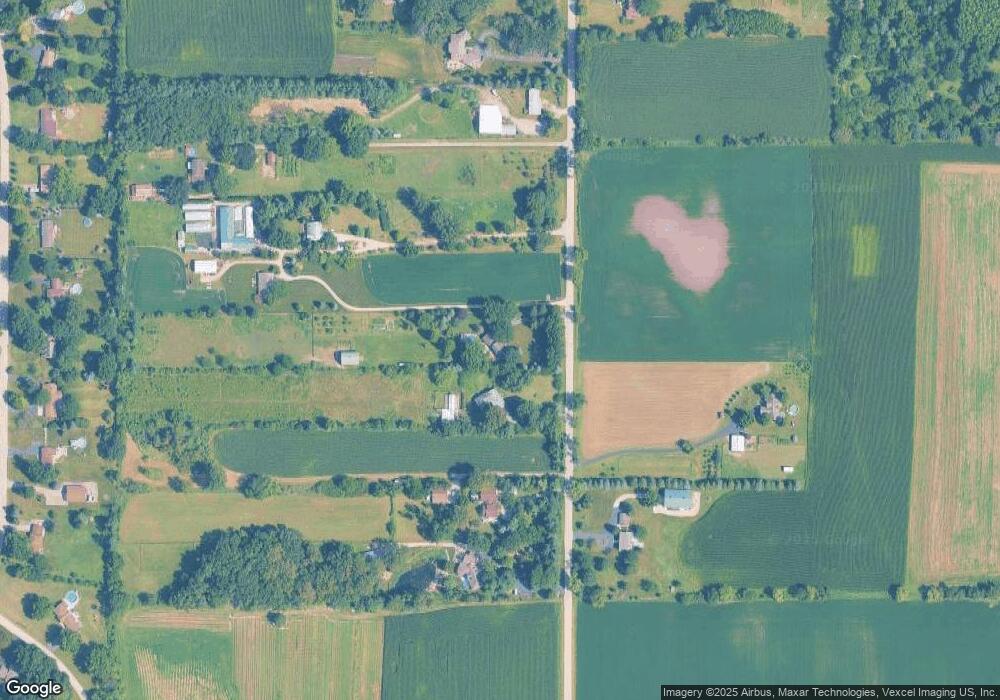
Map
Nearby Homes
- 9510 Knolltop Rd
- 9601 Mels Way
- 9513 Mels Way
- 9618 Emily Ln
- 9617 Mels Way
- 9404 Emily Ln
- 9314 Emily Ln
- 16214 Stacy Ln
- 16218 Stacy Ln
- 9604 Emily Ln
- 16309 Stacy Ln
- 10613 Pebble Dr
- 9915 Henning Dr
- 9907 Henning Dr
- 10304 Oakdale Dr
- 10208 Oakdale Dr
- 10019 Henning Dr
- 10410 Oakdale Dr
- 15816 Cardinal Dr
- 10909 Pebble Dr
Your Personal Tour Guide
Ask me questions while you tour the home.