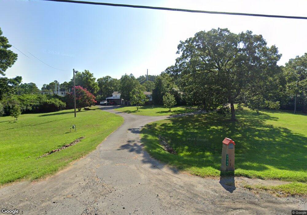
9704 Mac Arthur Dr North Little Rock, AR 72118
Estimated Value: $238,000 - $336,347
--
Bed
4
Baths
3,072
Sq Ft
$87/Sq Ft
Est. Value
About This Home
This home is located at 9704 Mac Arthur Dr, North Little Rock, AR 72118 and is currently estimated at $268,087, approximately $87 per square foot. 9704 Mac Arthur Dr is a home located in Pulaski County with nearby schools including Oak Grove Elementary School, Maumelle Middle School, and Maumelle High School.
Ownership History
Date
Name
Owned For
Owner Type
Purchase Details
Closed on
Jul 25, 2018
Sold by
Shaw Patricia Frances
Bought by
Shaw Patricia
Current Estimated Value
Home Financials for this Owner
Home Financials are based on the most recent Mortgage that was taken out on this home.
Original Mortgage
$104,200
Interest Rate
4.5%
Mortgage Type
VA
Purchase Details
Closed on
Apr 4, 2017
Sold by
Shaw Ronnie L and Shaw Patricia Frances
Bought by
Shaw Ronnie L and Shaw Patricia Frances
Create a Home Valuation Report for This Property
The Home Valuation Report is an in-depth analysis detailing your home's value as well as a comparison with similar homes in the area
Home Values in the Area
Average Home Value in this Area
Purchase History
| Date | Buyer | Sale Price | Title Company |
|---|---|---|---|
| Shaw Patricia | -- | First American Title Insuran | |
| Shaw Ronnie L | -- | None Available |
Source: Public Records
Mortgage History
| Date | Status | Borrower | Loan Amount |
|---|---|---|---|
| Closed | Shaw Patricia | $104,200 |
Source: Public Records
Tax History Compared to Growth
Tax History
| Year | Tax Paid | Tax Assessment Tax Assessment Total Assessment is a certain percentage of the fair market value that is determined by local assessors to be the total taxable value of land and additions on the property. | Land | Improvement |
|---|---|---|---|---|
| 2025 | $3,187 | $62,733 | $24,258 | $38,475 |
| 2024 | $3,187 | $62,733 | $24,258 | $38,475 |
| 2023 | $3,187 | $62,733 | $24,258 | $38,475 |
| 2022 | $3,103 | $62,733 | $24,258 | $38,475 |
| 2021 | $2,810 | $52,850 | $9,330 | $43,520 |
| 2020 | $125 | $52,850 | $9,330 | $43,520 |
| 2019 | $125 | $52,850 | $9,330 | $43,520 |
| 2018 | $2,810 | $52,850 | $9,330 | $43,520 |
Source: Public Records
Map
Nearby Homes
- 8016 Highway 365
- 7932 Macarthur Dr
- 00 Trapp Rd
- 5503 Taril Ln
- 5901 Kelly Rd
- 0 Macarthur Unit 25004179
- 5119 Vaughn Rd
- 4901 Vaughn Rd
- 7417 Service Rd
- 6824 Drew Ln
- 30 Silver Ridge Cove
- 7423 Service Rd
- 5517 McMurtrey Dr
- 29 Prospect Trail
- 7213 Westwind Dr
- 0 Westwind Dr Unit 25030537
- 95 Prospect Trail
- 0 Rivermist Pointe Dr Unit 23019601
- 00 La Marche Lateral Rd
- 0 Trapp Rd Unit 25008039
- 9705 Mac Arthur Dr
- 9808 Mac Arthur Dr
- 9808 Macarthur Dr
- 9814 Mac Arthur Dr
- 9807 Mac Arthur Dr
- 6520 Kelly Rd
- meet & Bounds
- & Bounds
- 10008 Mac Arthur Dr
- 6509 Kelly Rd
- 10008 Macarthur Dr
- 6606 Kelly Rd
- 6521 Kelly Rd
- 9308 Mac Arthur Dr
- 6513 Kelly Rd
- 6401 Kelly Rd
- 9217 Trapp Rd
- 7713 Caldwell Rd
- 6525 Kelly Rd
- 7703 Caldwell Rd