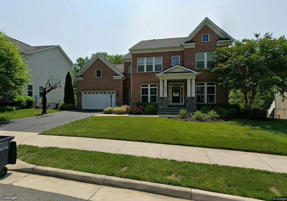
9705 Banting Dr Fairfax, VA 22032
Estimated Value: $1,401,000 - $1,781,284
5
Beds
6
Baths
3,807
Sq Ft
$407/Sq Ft
Est. Value
About This Home
This home is located at 9705 Banting Dr, Fairfax, VA 22032 and is currently estimated at $1,550,321, approximately $407 per square foot. 9705 Banting Dr is a home located in Fairfax County with nearby schools including Laurel Ridge Elementary School, James W Robinson, Jr. Secondary School, and GW Community School.
Ownership History
Date
Name
Owned For
Owner Type
Purchase Details
Closed on
Oct 28, 2015
Sold by
The Evergreene Companies Llc A Virginia
Bought by
Rink Chad and Rink Maria
Current Estimated Value
Home Financials for this Owner
Home Financials are based on the most recent Mortgage that was taken out on this home.
Original Mortgage
$821,942
Outstanding Balance
$649,338
Interest Rate
3.92%
Mortgage Type
New Conventional
Estimated Equity
$900,983
Create a Home Valuation Report for This Property
The Home Valuation Report is an in-depth analysis detailing your home's value as well as a comparison with similar homes in the area
Home Values in the Area
Average Home Value in this Area
Purchase History
| Date | Buyer | Sale Price | Title Company |
|---|---|---|---|
| Rink Chad | $966,990 | Centerview Title Group Llc |
Source: Public Records
Mortgage History
| Date | Status | Borrower | Loan Amount |
|---|---|---|---|
| Open | Rink Chad | $821,942 |
Source: Public Records
Tax History
| Year | Tax Paid | Tax Assessment Tax Assessment Total Assessment is a certain percentage of the fair market value that is determined by local assessors to be the total taxable value of land and additions on the property. | Land | Improvement |
|---|---|---|---|---|
| 2025 | $15,298 | $1,396,780 | $366,000 | $1,030,780 |
| 2024 | $15,298 | $1,320,480 | $366,000 | $954,480 |
| 2023 | $15,356 | $1,360,710 | $366,000 | $994,710 |
| 2022 | $13,462 | $1,177,260 | $306,000 | $871,260 |
| 2021 | $13,522 | $1,152,260 | $281,000 | $871,260 |
| 2020 | $12,785 | $1,080,260 | $266,000 | $814,260 |
| 2019 | $12,180 | $1,029,170 | $261,000 | $768,170 |
| 2018 | $11,835 | $1,029,170 | $261,000 | $768,170 |
| 2017 | $11,637 | $1,002,320 | $241,000 | $761,320 |
| 2016 | $10,776 | $930,210 | $231,000 | $699,210 |
Source: Public Records
Map
Nearby Homes
- 4664 Braddock Green Ct
- 9891 Becket Ct
- 9805 Doulton Ct
- 4773 Farndon Ct
- 5105 Coleridge Dr
- 5037 Head Ct
- 10150 Red Spruce Rd
- 4797 Tapestry Dr
- 5122 Pommeroy Dr
- 5078 Twinbrook Run Dr
- 10021 Glenmere Rd
- 4607 Tapestry Dr
- 9321 Hobart Ct
- 10125 Commonwealth Blvd
- 9308 Briarwood Place
- 5203 Mornington Ct
- 4211 Nutwood Way
- 10215 Commonwealth Blvd
- 9808 Laurel St
- 5342 Guinea Rd
- 9707 Banting Dr
- 9723 Braddock Rd
- 9703 Banting Dr
- 9701 Banting Dr
- 9706 Banting Dr
- 4701 Banting Ct
- 9704 Banting Dr
- 9702 Banting Dr
- 9721 Braddock Rd
- 4703 Banting Ct
- 9699 Banting Dr
- 9700 Banting Dr
- 9719 Braddock Rd
- 5010 Dequincey Dr
- 9708 Banting Dr
- 4705 Banting Ct
- 5008 Dequincey Dr
- 5020 Dequincey Dr
- 9709 Banting Dr
- 9697 Banting Dr
Your Personal Tour Guide
Ask me questions while you tour the home.