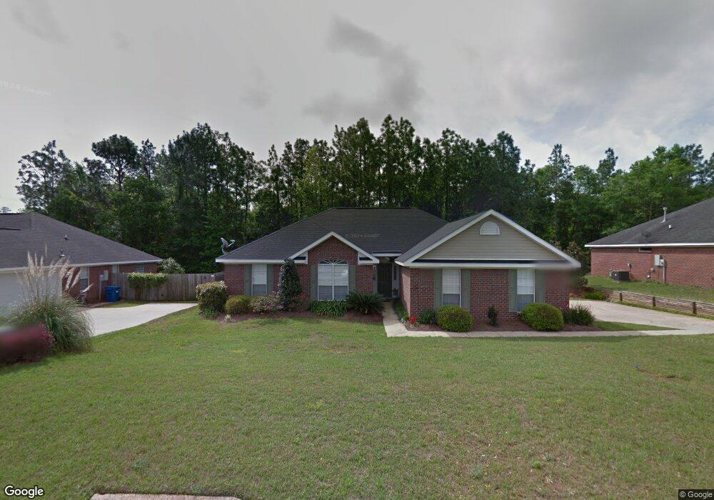
9705 Concord Place Mobile, AL 36695
Baker NeighborhoodEstimated Value: $261,840 - $291,000
3
Beds
2
Baths
1,977
Sq Ft
$139/Sq Ft
Est. Value
About This Home
This home is located at 9705 Concord Place, Mobile, AL 36695 and is currently estimated at $274,960, approximately $139 per square foot. 9705 Concord Place is a home located in Mobile County with nearby schools including Elsie Collier Elementary School, Bernice J Causey Middle School, and Baker High School.
Ownership History
Date
Name
Owned For
Owner Type
Purchase Details
Closed on
Apr 28, 2006
Sold by
Stempien Michael T
Bought by
Stanley Amy Michelle
Current Estimated Value
Purchase Details
Closed on
Jul 21, 2004
Sold by
H & P Ltd
Bought by
Stempien Michael T and Stempien Amy Michelle
Home Financials for this Owner
Home Financials are based on the most recent Mortgage that was taken out on this home.
Original Mortgage
$120,978
Interest Rate
6.24%
Mortgage Type
Unknown
Create a Home Valuation Report for This Property
The Home Valuation Report is an in-depth analysis detailing your home's value as well as a comparison with similar homes in the area
Home Values in the Area
Average Home Value in this Area
Purchase History
| Date | Buyer | Sale Price | Title Company |
|---|---|---|---|
| Stanley Amy Michelle | -- | None Available | |
| Stempien Michael T | $151,223 | -- | |
| H & P Ltd | $151,223 | -- |
Source: Public Records
Mortgage History
| Date | Status | Borrower | Loan Amount |
|---|---|---|---|
| Previous Owner | Stempien Michael T | $120,978 |
Source: Public Records
Tax History
| Year | Tax Paid | Tax Assessment Tax Assessment Total Assessment is a certain percentage of the fair market value that is determined by local assessors to be the total taxable value of land and additions on the property. | Land | Improvement |
|---|---|---|---|---|
| 2025 | $1,231 | $26,750 | $4,000 | $22,750 |
| 2024 | $1,148 | $25,040 | $4,000 | $21,040 |
| 2023 | $1,218 | $23,460 | $4,000 | $19,460 |
| 2022 | $952 | $21,000 | $4,000 | $17,000 |
| 2021 | $827 | $18,420 | $4,000 | $14,420 |
| 2020 | $851 | $18,910 | $4,000 | $14,910 |
| 2019 | $851 | $18,920 | $0 | $0 |
| 2018 | $835 | $18,600 | $0 | $0 |
| 2017 | $889 | $18,260 | $0 | $0 |
| 2016 | $790 | $17,680 | $0 | $0 |
| 2013 | $839 | $17,820 | $0 | $0 |
Source: Public Records
Map
Nearby Homes
- 9630 Oak Forrest Dr Unit 2
- 9650 Oak Forrest Dr
- 9613 Oak Forrest Place
- 1170 Wellington Ct S
- 9410 Ashwood Ct
- 860 Trailwood Dr E
- 1145 Dominion Dr E
- 9375 Ashwood Ct
- 9633 Royal Woods Dr S
- 0 New Neck Rd Unit 387066
- 835 Royal Woods Dr E
- 9751 Pine Knoll Rd
- 10635 Burlington Estates Dr
- 750 Hale Rd
- 1235 Wakefield Dr E
- 9841 Shadow Wood Dr
- 801 Copperfield Dr E
- 10023 Springfield Ct
- 653 Begeman Rd
- 10153 Tarawood Ct
- 9697 Concord Place
- 9713 Concord Place Unit 4
- 9721 Concord Place
- 9689 Concord Place
- 9704 Concord Place
- 9696 Concord Place
- 9712 Concord Place Unit 4
- 9688 Concord Place
- 9729 Concord Place Unit 4
- 1136 Colonial Crossing Unit 4
- 9720 Concord Place
- 9640 Oak Forrest Dr
- 9620 Oak Forrest Dr
- 9620 Oak Forrest Dr
- 9680 Concord Place
- 9725 Brewster Ct
- 9728 Concord Place
- 9735 Brewster Ct Unit 3
- 9660 Oak Forrest Dr
- 9610 Oak Forrest Dr
Your Personal Tour Guide
Ask me questions while you tour the home.