9705 Sedgefield Dr Waxhaw, NC 28173
Estimated Value: $2,694,000 - $3,698,000
5
Beds
10
Baths
6,970
Sq Ft
$480/Sq Ft
Est. Value
About This Home
This home is located at 9705 Sedgefield Dr, Waxhaw, NC 28173 and is currently estimated at $3,348,382, approximately $480 per square foot. 9705 Sedgefield Dr is a home located in Union County with nearby schools including Sandy Ridge Elementary School, Marvin Ridge Middle School, and Marvin Ridge High School.
Ownership History
Date
Name
Owned For
Owner Type
Purchase Details
Closed on
Jan 27, 2017
Sold by
Vanart Robert Paul and Vanart Denise
Bought by
Pfalzgraf Todd
Current Estimated Value
Purchase Details
Closed on
Feb 6, 1998
Sold by
Marvin Development Group Iii Llc
Bought by
Moore Vanart Jr Robert Paul and Moore Vanart Linda
Create a Home Valuation Report for This Property
The Home Valuation Report is an in-depth analysis detailing your home's value as well as a comparison with similar homes in the area
Home Values in the Area
Average Home Value in this Area
Purchase History
| Date | Buyer | Sale Price | Title Company |
|---|---|---|---|
| Pfalzgraf Todd | $1,270,000 | None Available | |
| Moore Vanart Jr Robert Paul | $290,000 | -- |
Source: Public Records
Tax History Compared to Growth
Tax History
| Year | Tax Paid | Tax Assessment Tax Assessment Total Assessment is a certain percentage of the fair market value that is determined by local assessors to be the total taxable value of land and additions on the property. | Land | Improvement |
|---|---|---|---|---|
| 2024 | $12,410 | $1,976,700 | $645,600 | $1,331,100 |
| 2023 | $12,364 | $1,976,700 | $645,600 | $1,331,100 |
| 2022 | $12,364 | $1,976,700 | $645,600 | $1,331,100 |
| 2021 | $12,337 | $1,976,700 | $645,600 | $1,331,100 |
| 2020 | $15,461 | $2,007,630 | $563,630 | $1,444,000 |
| 2019 | $15,384 | $2,007,630 | $563,630 | $1,444,000 |
| 2018 | $0 | $2,007,630 | $563,630 | $1,444,000 |
| 2017 | $16,268 | $2,007,600 | $563,600 | $1,444,000 |
| 2016 | $15,976 | $2,007,630 | $563,630 | $1,444,000 |
| 2015 | $16,155 | $2,007,630 | $563,630 | $1,444,000 |
| 2014 | $12,749 | $1,855,680 | $435,000 | $1,420,680 |
Source: Public Records
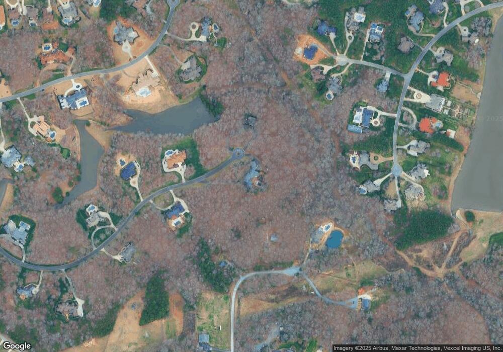
Map
Nearby Homes
- 9723 Sedgefield Dr
- 9100 Woodhall Lake Dr
- 2100 Goddard Way
- LOT 3 Maxwell Ct
- 2915 Cutter Ct
- 2926 Crane Rd
- 9814 Tompkins Ln
- 2706 Gilead Ln
- 8904 Woodhall Lake Dr
- 1233 Ladera Dr
- 4224 Lois Ln
- 8323 Bourgess Ct
- 2420 Chatham Dr
- Wildwood Plan at Gates at Marvin
- Aspen II Plan at Gates at Marvin
- Aspen Plan at Gates at Marvin
- Ivy Plan at Gates at Marvin
- Laurel II Plan at Gates at Marvin
- Laurel Plan at Gates at Marvin
- Acacia II Plan at Gates at Marvin
- 9705 Sedgefield Dr
- 2504 Huntley Dr
- 9712 Sedgefield Dr
- 2500 Huntley Dr
- 2508 Huntley Dr
- 9214 Woodhall Lake Dr
- 9218 Woodhall Lake Dr
- 3019 Cowhorn Branch Ct
- 3015 Cowhorn Branch Ct
- 2020 Iverson Ln
- 9206 Woodhall Lake Dr
- 9724 Sedgefield Dr
- 3022 Cowhorn Branch Ct
- 3022 Cowhorn Branch Ct Unit A
- 3022 Cowhorn Branch Ct Unit 19
- 9222 Woodhall Lake Dr
- 2014 Iverson Ln
- 9801 Sedgefield Dr
- 9200 Woodhall Lake Dr
- 2028 Iverson Ln