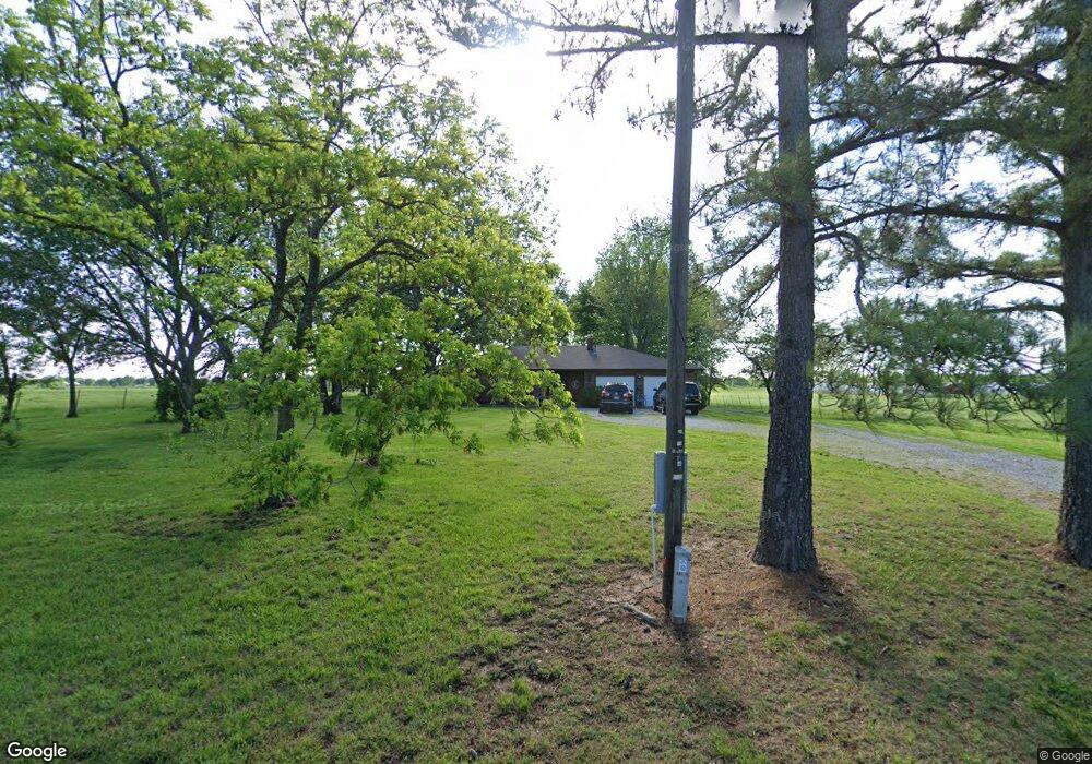
9705 Wpa Rd Gentry, AR 72734
Estimated Value: $378,000 - $684,000
--
Bed
2
Baths
1,598
Sq Ft
$299/Sq Ft
Est. Value
About This Home
This home is located at 9705 Wpa Rd, Gentry, AR 72734 and is currently estimated at $477,460, approximately $298 per square foot. 9705 Wpa Rd is a home located in Benton County with nearby schools including Gentry Intermediate School, Gentry Primary School, and Gentry Middle School.
Ownership History
Date
Name
Owned For
Owner Type
Purchase Details
Closed on
Feb 14, 2019
Sold by
Deese Wilmoth King Lisa Ann and Deese King Jr Robert
Bought by
King Robert Deese and Wilmoth King Lisa
Current Estimated Value
Purchase Details
Closed on
Jan 10, 2019
Sold by
Unruh David H and Unruh Nola
Bought by
Wilmoth Lisa Ann
Purchase Details
Closed on
Jan 28, 2002
Bought by
Unruh 5Ac
Purchase Details
Closed on
Jul 10, 2001
Bought by
Wilmoth L
Purchase Details
Closed on
Dec 7, 1994
Bought by
Mcgarrah
Purchase Details
Closed on
Aug 30, 1984
Bought by
Mcgarrah
Purchase Details
Closed on
Jun 20, 1979
Bought by
Ware
Create a Home Valuation Report for This Property
The Home Valuation Report is an in-depth analysis detailing your home's value as well as a comparison with similar homes in the area
Home Values in the Area
Average Home Value in this Area
Purchase History
| Date | Buyer | Sale Price | Title Company |
|---|---|---|---|
| King Robert Deese | -- | None Available | |
| Wilmoth Lisa Ann | $75,000 | Empire Title Company | |
| Unruh 5Ac | $115,000 | -- | |
| Wilmoth L | -- | -- | |
| Mcgarrah | $350,000 | -- | |
| Mcgarrah | $39,000 | -- | |
| Ware | -- | -- |
Source: Public Records
Tax History Compared to Growth
Tax History
| Year | Tax Paid | Tax Assessment Tax Assessment Total Assessment is a certain percentage of the fair market value that is determined by local assessors to be the total taxable value of land and additions on the property. | Land | Improvement |
|---|---|---|---|---|
| 2025 | $1,456 | $48,712 | $7,827 | $40,885 |
| 2024 | $1,361 | $48,712 | $7,827 | $40,885 |
| 2023 | $1,296 | $33,920 | $3,050 | $30,870 |
| 2022 | $948 | $33,920 | $3,050 | $30,870 |
| 2021 | $888 | $33,920 | $3,050 | $30,870 |
| 2020 | $828 | $22,650 | $2,350 | $20,300 |
| 2019 | $828 | $22,650 | $2,350 | $20,300 |
| 2018 | $853 | $22,650 | $2,350 | $20,300 |
| 2017 | $853 | $22,650 | $2,350 | $20,300 |
| 2016 | $853 | $22,650 | $2,350 | $20,300 |
| 2015 | $1,152 | $23,040 | $1,810 | $21,230 |
| 2014 | $802 | $23,040 | $1,810 | $21,230 |
Source: Public Records
Map
Nearby Homes
- 21743 Bozarth Cemetery Rd
- 21214 Floyd Moore Rd
- 20894 Floyd Moore Rd
- 159 Acres MOL Safari Rd
- 22006 Bozarth Cemetery Rd
- 0 Bozarth Cemetery Rd
- 21854 Floyd Moore Rd
- 19241 Floyd Moore Rd
- 22.56 Acres Floyd Moore Rd
- TBD Floyd Moore Rd
- 22338 Floyd Moore Rd
- 9586 Browning Rd
- 22443 Floyd Moore Rd
- TBD N Bloomfield Rd
- 11230 John Zodrow Rd
- 604 W Eureka St
- 302 W Fulton St
- 21944 Arkansas 12
- 9065 Pine Grove Rd
- 513 N Byers Ave