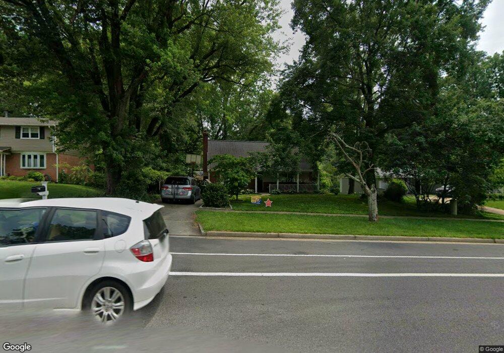
9707 Commonwealth Blvd Fairfax, VA 22032
Estimated Value: $794,000 - $857,000
4
Beds
3
Baths
2,200
Sq Ft
$378/Sq Ft
Est. Value
About This Home
This home is located at 9707 Commonwealth Blvd, Fairfax, VA 22032 and is currently estimated at $830,700, approximately $377 per square foot. 9707 Commonwealth Blvd is a home located in Fairfax County with nearby schools including Laurel Ridge Elementary School, James W Robinson, Jr. Secondary School, and Holy Spirit School.
Ownership History
Date
Name
Owned For
Owner Type
Purchase Details
Closed on
Jul 31, 1995
Sold by
Rea Maurice W
Bought by
Calhoun Keith E
Current Estimated Value
Home Financials for this Owner
Home Financials are based on the most recent Mortgage that was taken out on this home.
Original Mortgage
$148,000
Interest Rate
7.56%
Create a Home Valuation Report for This Property
The Home Valuation Report is an in-depth analysis detailing your home's value as well as a comparison with similar homes in the area
Home Values in the Area
Average Home Value in this Area
Purchase History
| Date | Buyer | Sale Price | Title Company |
|---|---|---|---|
| Calhoun Keith E | $185,000 | -- |
Source: Public Records
Mortgage History
| Date | Status | Borrower | Loan Amount |
|---|---|---|---|
| Closed | Calhoun Keith E | $148,000 | |
| Closed | Calhoun Keith E | $18,500 |
Source: Public Records
Tax History Compared to Growth
Tax History
| Year | Tax Paid | Tax Assessment Tax Assessment Total Assessment is a certain percentage of the fair market value that is determined by local assessors to be the total taxable value of land and additions on the property. | Land | Improvement |
|---|---|---|---|---|
| 2025 | $8,793 | $837,000 | $286,000 | $551,000 |
| 2024 | $8,793 | $759,030 | $281,000 | $478,030 |
| 2023 | $8,338 | $738,850 | $281,000 | $457,850 |
| 2022 | $7,888 | $689,820 | $256,000 | $433,820 |
| 2021 | $7,634 | $650,510 | $236,000 | $414,510 |
| 2020 | $6,986 | $590,270 | $221,000 | $369,270 |
| 2019 | $6,852 | $578,940 | $216,000 | $362,940 |
| 2018 | $6,322 | $549,760 | $216,000 | $333,760 |
| 2017 | $6,200 | $534,020 | $206,000 | $328,020 |
| 2016 | $5,781 | $499,000 | $191,000 | $308,000 |
| 2015 | $5,569 | $499,000 | $191,000 | $308,000 |
| 2014 | $5,411 | $485,950 | $181,000 | $304,950 |
Source: Public Records
Map
Nearby Homes
- 9717 Commonwealth Blvd
- 5137 Richardson Dr
- 5006 Lone Oak Place
- 9883 Becket Ct
- 9896 Becket Ct
- 4947 Mcfarland Ct
- 4869 Nash Dr
- 5370 Gainsborough Dr
- 4906 Mcfarland Dr
- 5313 Stonington Dr
- 5361 Gainsborough Dr
- 9710 Ashbourn Dr
- 10017 Whitefield St
- 5207 Stonington Dr
- 9438 Wallingford Dr
- 5307 Richardson Dr
- 9755 Abington Ct
- 9370 Colbert Ct
- 9769 High Water Ct
- 10116 Dundalk St
- 9705 Commonwealth Blvd
- 9709 Commonwealth Blvd
- 9702 Galsworth Ct
- 9700 Galsworth Ct
- 9703 Commonwealth Blvd
- 9711 Commonwealth Blvd
- 9704 Galsworth Ct
- 9708 Commonwealth Blvd
- 9710 Commonwealth Blvd
- 5102 Richardson Dr
- 9701 Galsworth Ct
- 5104 Richardson Dr
- 9713 Commonwealth Blvd
- 5105 Walport Ln
- 9701 Commonwealth Blvd
- 9708 Galsworth Ct
- 9712 Commonwealth Blvd
- 5106 Richardson Dr
- 9703 Galsworth Ct
- 9702 Commonwealth Blvd