9707 Otso Point Rd Anderson Island, WA 98303
Estimated Value: $74,000 - $190,689
--
Bed
--
Bath
--
Sq Ft
9.64
Acres
About This Home
This home is located at 9707 Otso Point Rd, Anderson Island, WA 98303 and is currently estimated at $122,563. 9707 Otso Point Rd is a home located in Pierce County with nearby schools including Anderson Island Elementary School, Pioneer Middle School, and Steilacoom High School.
Ownership History
Date
Name
Owned For
Owner Type
Purchase Details
Closed on
Jul 22, 2014
Sold by
Meerdink John and Meerdink Michelle
Bought by
Vu Thou
Current Estimated Value
Purchase Details
Closed on
Jul 6, 2005
Sold by
Brown Marvin M
Bought by
Meerdink John W and Meerdink Michelle M
Home Financials for this Owner
Home Financials are based on the most recent Mortgage that was taken out on this home.
Original Mortgage
$62,250
Interest Rate
5.55%
Mortgage Type
Purchase Money Mortgage
Create a Home Valuation Report for This Property
The Home Valuation Report is an in-depth analysis detailing your home's value as well as a comparison with similar homes in the area
Home Values in the Area
Average Home Value in this Area
Purchase History
| Date | Buyer | Sale Price | Title Company |
|---|---|---|---|
| Vu Thou | $74,719 | Ticor | |
| Meerdink John W | $83,000 | Rtc |
Source: Public Records
Mortgage History
| Date | Status | Borrower | Loan Amount |
|---|---|---|---|
| Previous Owner | Meerdink John W | $62,250 |
Source: Public Records
Tax History Compared to Growth
Tax History
| Year | Tax Paid | Tax Assessment Tax Assessment Total Assessment is a certain percentage of the fair market value that is determined by local assessors to be the total taxable value of land and additions on the property. | Land | Improvement |
|---|---|---|---|---|
| 2025 | $1,186 | $111,200 | $111,200 | -- |
| 2024 | $1,186 | $108,700 | $108,700 | -- |
| 2023 | $1,186 | $112,200 | $112,200 | $0 |
| 2022 | $961 | $112,200 | $112,200 | $0 |
| 2021 | $984 | $76,600 | $76,600 | $0 |
| 2019 | $837 | $70,200 | $70,200 | $0 |
| 2018 | $811 | $63,300 | $63,300 | $0 |
| 2017 | $664 | $54,400 | $54,400 | $0 |
| 2016 | $703 | $47,400 | $47,400 | $0 |
| 2014 | $779 | $47,400 | $47,400 | $0 |
| 2013 | $779 | $47,500 | $47,500 | $0 |
Source: Public Records
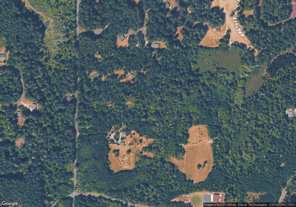
Map
Nearby Homes
- 12726 96th Street Ct
- 9310 123rd Ave
- 12727 96th Street Ct
- 12408 93rd St
- 10115 Edgewood Dr
- 12123 Sunset Place
- 10213 Edgewood Dr
- 9223 Kootenai Dr
- 9705 117th Ave
- 12606 Silver Dr
- 10412 Edgewood Dr
- 8912 126th Avenue Ct
- 8811 127th Avenue Ct
- 12611 Silver Dr
- 9118 130th Avenue Ct
- 10607 Edgewood Dr Unit lot4&5
- 11809 105th Street Ct Unit AI
- 10608 Edgewood Dr
- 10508 Anchor Place
- 10611 Vantage Dr
- 9615 Otso Point Rd
- 9817 Otso Point Rd
- 9521 124th Ave Unit AI
- 12406 95th Street Ct
- 9505 124th #Ai Ave
- 12418 95th Street Ct Unit AI
- 12405 95th Street Ct
- 12411 95th Street Ct
- 12503 95th Street Ct Unit AI
- 9704 Otso Point Rd Unit AI
- 9422 124th Ave
- 9501 124th Ave
- 12508 &12512 95th Street Ct
- 12310 Wapato Rd Unit AI
- 12306 Wapato Rd Unit AI
- 9418 124th Ave
- 12506 94th St
- 12224 Wapato Rd Unit AI
- 12514 94th St
- 12514 94th St Ct