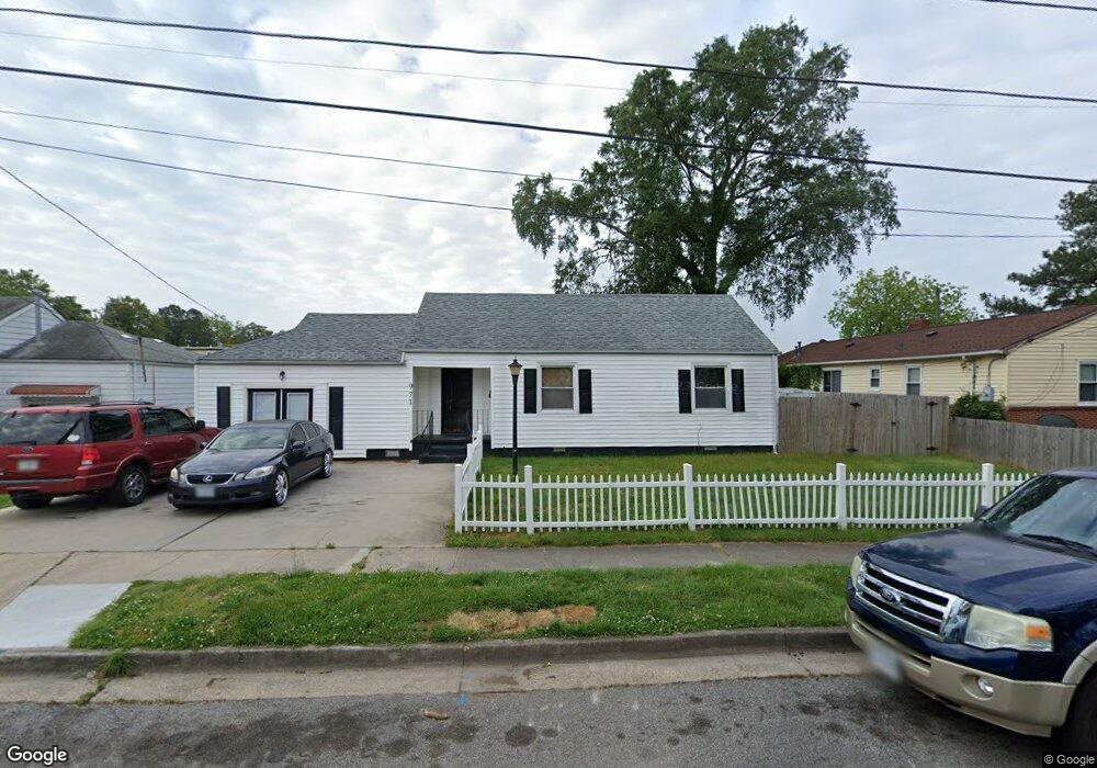
971 Albert Ave Norfolk, VA 23513
Coronado NeighborhoodEstimated Value: $208,000 - $245,000
2
Beds
1
Bath
986
Sq Ft
$237/Sq Ft
Est. Value
About This Home
This home is located at 971 Albert Ave, Norfolk, VA 23513 and is currently estimated at $233,573, approximately $236 per square foot. 971 Albert Ave is a home located in Norfolk City with nearby schools including Frances E. Willard Model Elementary School, Norview Middle School, and Norview High School.
Ownership History
Date
Name
Owned For
Owner Type
Purchase Details
Closed on
Jun 15, 2007
Sold by
Brown G W C and Bowens Alice W
Bought by
Weaver Tamiko D and Weaver Lamond
Current Estimated Value
Home Financials for this Owner
Home Financials are based on the most recent Mortgage that was taken out on this home.
Original Mortgage
$6,700
Outstanding Balance
$4,111
Interest Rate
6.24%
Mortgage Type
Stand Alone Second
Estimated Equity
$229,462
Create a Home Valuation Report for This Property
The Home Valuation Report is an in-depth analysis detailing your home's value as well as a comparison with similar homes in the area
Home Values in the Area
Average Home Value in this Area
Purchase History
| Date | Buyer | Sale Price | Title Company |
|---|---|---|---|
| Weaver Tamiko D | $134,000 | American Home Title |
Source: Public Records
Mortgage History
| Date | Status | Borrower | Loan Amount |
|---|---|---|---|
| Open | Weaver Tamiko D | $6,700 | |
| Open | Weaver Tamiko D | $131,929 |
Source: Public Records
Tax History Compared to Growth
Tax History
| Year | Tax Paid | Tax Assessment Tax Assessment Total Assessment is a certain percentage of the fair market value that is determined by local assessors to be the total taxable value of land and additions on the property. | Land | Improvement |
|---|---|---|---|---|
| 2025 | $2,665 | $213,200 | $89,800 | $123,400 |
| 2024 | $2,464 | $200,300 | $89,800 | $110,500 |
| 2023 | $2,380 | $190,400 | $89,800 | $100,600 |
| 2022 | $2,088 | $167,000 | $66,400 | $100,600 |
| 2021 | $1,954 | $156,300 | $63,300 | $93,000 |
| 2020 | $1,775 | $142,000 | $52,300 | $89,700 |
| 2019 | $1,664 | $133,100 | $47,500 | $85,600 |
| 2018 | $1,639 | $131,100 | $47,500 | $83,600 |
| 2017 | $1,504 | $130,800 | $47,500 | $83,300 |
| 2016 | $1,504 | $134,800 | $47,500 | $87,300 |
| 2015 | $1,550 | $134,800 | $47,500 | $87,300 |
| 2014 | $1,550 | $134,800 | $47,500 | $87,300 |
Source: Public Records
Map
Nearby Homes
- 977 Wolcott Ave
- 974 Philpotts Rd
- 985 Wolcott Ave
- 955 Marietta Ave
- 983 Widgeon Rd
- 943 Philpotts Rd
- 936 Widgeon Rd
- 6459 Clare Rd
- 1038 Philpotts Rd
- 1037 Philpotts Rd
- 1041 Tifton St
- 6416 Palem Rd
- 6400 Clare Rd
- 7021 University Dr
- 901 Lasser Dr
- 6360 Avon Rd
- 852 Philpotts Rd
- 837 Tifton St
- 1044 Kane St
- 809 Craten Rd
- 6612 Thaxton St
- 975 Albert Ave
- 974 Marietta Ave
- 970 Marietta Ave
- 976 Marietta Ave
- 979 Albert Ave
- 963 Albert Ave
- 970 Albert Ave
- 972 Albert Ave
- 968 Albert Ave
- 976 Albert Ave
- 964 Marietta Ave
- 962 Albert Ave
- 980 Albert Ave
- 959 Albert Ave
- 984 Marietta Ave
- 960 Marietta Ave
- 960 Albert Ave
- 984 Albert Ave
- 6526 Thaxton St Unit B