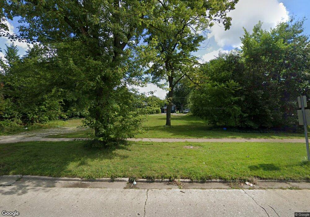
971 Broadway Benton Harbor, MI 49022
Estimated Value: $36,000 - $269,000
Studio
--
Bath
--
Sq Ft
12,589
Sq Ft Lot
About This Home
This home is located at 971 Broadway, Benton Harbor, MI 49022 and is currently estimated at $140,000. 971 Broadway is a home located in Berrien County with nearby schools including Fair Plain Middle School, Benton Harbor High School, and Benton Harbor Charter School Academy.
Ownership History
Date
Name
Owned For
Owner Type
Purchase Details
Closed on
Dec 30, 2016
Sold by
Berrien County
Bought by
City Of Benton Harbor
Current Estimated Value
Purchase Details
Closed on
Oct 15, 2013
Sold by
Witkowski Bret
Bought by
Johnson Christopher J
Purchase Details
Closed on
Jun 6, 2006
Sold by
Hud
Bought by
Alcaraz Canuto
Purchase Details
Closed on
Aug 17, 2005
Sold by
Mortgage Electronic Registration Systems
Bought by
Hud
Purchase Details
Closed on
Dec 16, 2004
Sold by
Dotson Stephanie L
Bought by
Mortgage Electronic Registration Systems
Purchase Details
Closed on
Jan 21, 2002
Purchase Details
Closed on
Sep 13, 2000
Purchase Details
Closed on
Jun 3, 1999
Purchase Details
Closed on
Nov 17, 1997
Purchase Details
Closed on
Aug 30, 1996
Purchase Details
Closed on
Sep 20, 1989
Create a Home Valuation Report for This Property
The Home Valuation Report is an in-depth analysis detailing your home's value as well as a comparison with similar homes in the area
Home Values in the Area
Average Home Value in this Area
Purchase History
| Date | Buyer | Sale Price | Title Company |
|---|---|---|---|
| City Of Benton Harbor | -- | Attorney | |
| Johnson Christopher J | -- | None Available | |
| Alcaraz Canuto | $14,500 | None Available | |
| Hud | -- | -- | |
| Mortgage Electronic Registration Systems | $38,180 | -- | |
| -- | -- | -- | |
| -- | $23,500 | -- | |
| -- | $16,000 | -- | |
| -- | $23,500 | -- | |
| -- | -- | -- | |
| -- | -- | -- | |
| -- | $16,000 | -- |
Source: Public Records
Tax History
| Year | Tax Paid | Tax Assessment Tax Assessment Total Assessment is a certain percentage of the fair market value that is determined by local assessors to be the total taxable value of land and additions on the property. | Land | Improvement |
|---|---|---|---|---|
| 2025 | -- | $0 | $0 | $0 |
| 2024 | -- | $0 | $0 | $0 |
| 2023 | -- | $0 | $0 | $0 |
| 2022 | $0 | $0 | $0 | $0 |
| 2021 | $0 | $0 | $0 | $0 |
| 2020 | $325 | $0 | $0 | $0 |
| 2019 | $325 | $0 | $0 | $0 |
Source: Public Records
Map
Nearby Homes
Your Personal Tour Guide
Ask me questions while you tour the home.