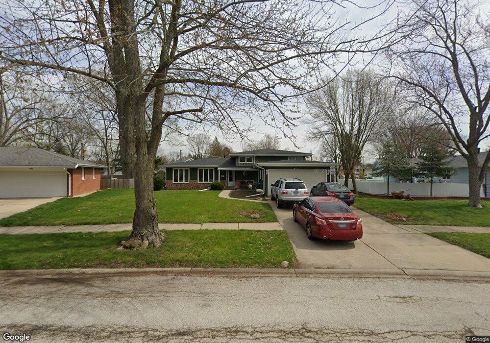
971 Cypress Dr Aurora, IL 60506
Edgelawn Randall NeighborhoodEstimated Value: $340,000 - $387,000
4
Beds
4
Baths
2,214
Sq Ft
$164/Sq Ft
Est. Value
About This Home
This home is located at 971 Cypress Dr, Aurora, IL 60506 and is currently estimated at $363,204, approximately $164 per square foot. 971 Cypress Dr is a home located in Kane County with nearby schools including Hall Elementary School, Jefferson Middle School, and West Aurora High School.
Ownership History
Date
Name
Owned For
Owner Type
Purchase Details
Closed on
Jan 17, 2002
Sold by
Bankers Trust Company Of California Na
Bought by
Barragan Israel and Barragan Marisa
Current Estimated Value
Home Financials for this Owner
Home Financials are based on the most recent Mortgage that was taken out on this home.
Original Mortgage
$124,000
Interest Rate
7.23%
Purchase Details
Closed on
Feb 26, 1999
Sold by
Mccort Michael Paul and Mccort Timothy E
Bought by
Va
Create a Home Valuation Report for This Property
The Home Valuation Report is an in-depth analysis detailing your home's value as well as a comparison with similar homes in the area
Home Values in the Area
Average Home Value in this Area
Purchase History
| Date | Buyer | Sale Price | Title Company |
|---|---|---|---|
| Barragan Israel | -- | -- | |
| Va | -- | Wheatland Title |
Source: Public Records
Mortgage History
| Date | Status | Borrower | Loan Amount |
|---|---|---|---|
| Closed | Barragan Israel | $124,000 |
Source: Public Records
Tax History
| Year | Tax Paid | Tax Assessment Tax Assessment Total Assessment is a certain percentage of the fair market value that is determined by local assessors to be the total taxable value of land and additions on the property. | Land | Improvement |
|---|---|---|---|---|
| 2024 | $7,065 | $97,221 | $15,912 | $81,309 |
| 2023 | $6,755 | $86,866 | $14,217 | $72,649 |
| 2022 | $6,485 | $79,258 | $12,972 | $66,286 |
| 2021 | $6,133 | $73,123 | $12,077 | $61,046 |
| 2020 | $5,797 | $67,921 | $11,218 | $56,703 |
| 2019 | $6,119 | $68,578 | $10,394 | $58,184 |
| 2018 | $5,636 | $62,461 | $9,614 | $52,847 |
| 2017 | $5,833 | $62,673 | $8,858 | $53,815 |
| 2016 | $5,077 | $53,787 | $7,593 | $46,194 |
| 2015 | -- | $45,569 | $6,529 | $39,040 |
| 2014 | -- | $41,144 | $6,279 | $34,865 |
| 2013 | -- | $40,559 | $6,190 | $34,369 |
Source: Public Records
Map
Nearby Homes
- 1940 Richard St
- 980 Sapphire Ln
- 968 Sapphire Ln
- 960 Sapphire Ln
- 972 Sapphire Ln
- 988 Sapphire Ln
- 976 Sapphire Ln
- 984 Sapphire Ln
- 1930 Sapphire Ln
- 991 Sapphire Ln
- 959 Sapphire Ln
- 975 Sapphire Ln
- 963 Sapphire Ln
- 987 Sapphire Ln
- 983 Sapphire Ln
- 1071 Almond Dr
- 735 Westgate Dr
- 1421 Heather Dr
- 742 N Glenwood Place
- 833 N Randall Rd Unit C4
- 981 Cypress Dr
- 1864 Robert Ct Unit 1
- 991 Cypress Dr Unit 1
- 962 N Edgelawn Dr
- 980 Cypress Dr
- 982 N Edgelawn Dr
- 960 Cypress Dr
- 952 N Edgelawn Dr
- 1868 Robert Ct Unit 1
- 1001 Cypress Dr Unit 1
- 992 N Edgelawn Dr
- 1876 Robert Ct Unit 1
- 1871 Robert St
- 942 N Edgelawn Dr
- 1002 N Edgelawn Dr
- 1870 Richard St Unit 1
- 1010 Cypress Dr Unit 1
- 1881 Robert St
- 1840 Richard St
Your Personal Tour Guide
Ask me questions while you tour the home.