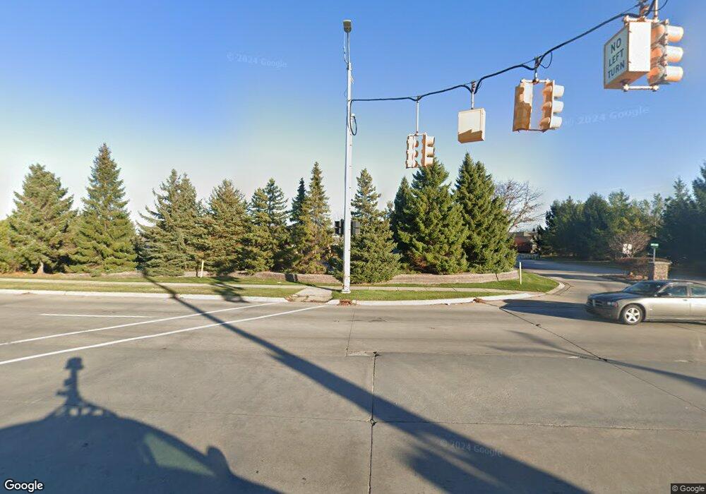
971 Dockside Dr Unit 6 Port Huron, MI 48060
Estimated Value: $454,000 - $536,025
3
Beds
3
Baths
2,300
Sq Ft
$223/Sq Ft
Est. Value
About This Home
This home is located at 971 Dockside Dr Unit 6, Port Huron, MI 48060 and is currently estimated at $512,256, approximately $222 per square foot. 971 Dockside Dr Unit 6 is a home located in St. Clair County with nearby schools including Woodrow Wilson Elementary School, Holland Woods Middle School, and Port Huron High School.
Ownership History
Date
Name
Owned For
Owner Type
Purchase Details
Closed on
Jul 21, 2025
Sold by
Mcconnell Gregory A and Mcconnell Sue A
Bought by
Gregory A Mcconnell And Sue A Mcconnell Revoc and Mcconnell
Current Estimated Value
Purchase Details
Closed on
May 21, 2021
Sold by
Wilson Jeffrey W and Wilson Patricia J
Bought by
Mcconnell Gregory A and Mcconnell Sue A
Purchase Details
Closed on
Jul 1, 2009
Sold by
Carl H Lasher Trust
Bought by
Wilson Robert W
Home Financials for this Owner
Home Financials are based on the most recent Mortgage that was taken out on this home.
Original Mortgage
$230,250
Interest Rate
4.86%
Mortgage Type
New Conventional
Create a Home Valuation Report for This Property
The Home Valuation Report is an in-depth analysis detailing your home's value as well as a comparison with similar homes in the area
Home Values in the Area
Average Home Value in this Area
Purchase History
| Date | Buyer | Sale Price | Title Company |
|---|---|---|---|
| Gregory A Mcconnell And Sue A Mcconnell Revoc | -- | None Listed On Document | |
| Mcconnell Gregory A | $375,000 | None Available | |
| Wilson Robert W | $307,000 | Fidelity National Title |
Source: Public Records
Mortgage History
| Date | Status | Borrower | Loan Amount |
|---|---|---|---|
| Previous Owner | Wilson Robert W | $230,250 |
Source: Public Records
Tax History Compared to Growth
Tax History
| Year | Tax Paid | Tax Assessment Tax Assessment Total Assessment is a certain percentage of the fair market value that is determined by local assessors to be the total taxable value of land and additions on the property. | Land | Improvement |
|---|---|---|---|---|
| 2025 | $8,640 | $209,800 | $0 | $0 |
| 2024 | $7,741 | $193,200 | $0 | $0 |
| 2023 | $7,315 | $180,500 | $0 | $0 |
| 2022 | $8,097 | $173,100 | $0 | $0 |
| 2021 | $6,175 | $180,400 | $0 | $0 |
| 2020 | $6,239 | $187,500 | $187,500 | $0 |
| 2019 | $6,126 | $146,600 | $0 | $0 |
| 2018 | $5,989 | $146,600 | $0 | $0 |
| 2016 | $4,668 | $133,000 | $0 | $0 |
| 2015 | $4,654 | $123,000 | $123,000 | $0 |
| 2014 | $4,654 | $123,000 | $123,000 | $0 |
| 2013 | -- | $123,000 | $0 | $0 |
Source: Public Records
Map
Nearby Homes
- 971 Dockside Dr
- 977 Dockside Dr
- 965 Dockside Dr
- 959 Dockside Dr
- 983 Dockside Dr
- 953 Dockside Dr
- 985 Dockside Dr
- 947 Dockside Dr
- 941 Dockside Dr
- 939 Dockside Dr
- 0 10th St
- 933 Dockside Dr Unit 13
- 927 Dockside Dr
- 923 Dockside Dr
- 411 10th St
- 921 Dockside Dr
- 443 10th St
- 1000 Varney St Unit 102
- 1000 Varney St
- 1000 Vacant Lot Water St & Ward St Unit 1000 Vacant Lot Ward
