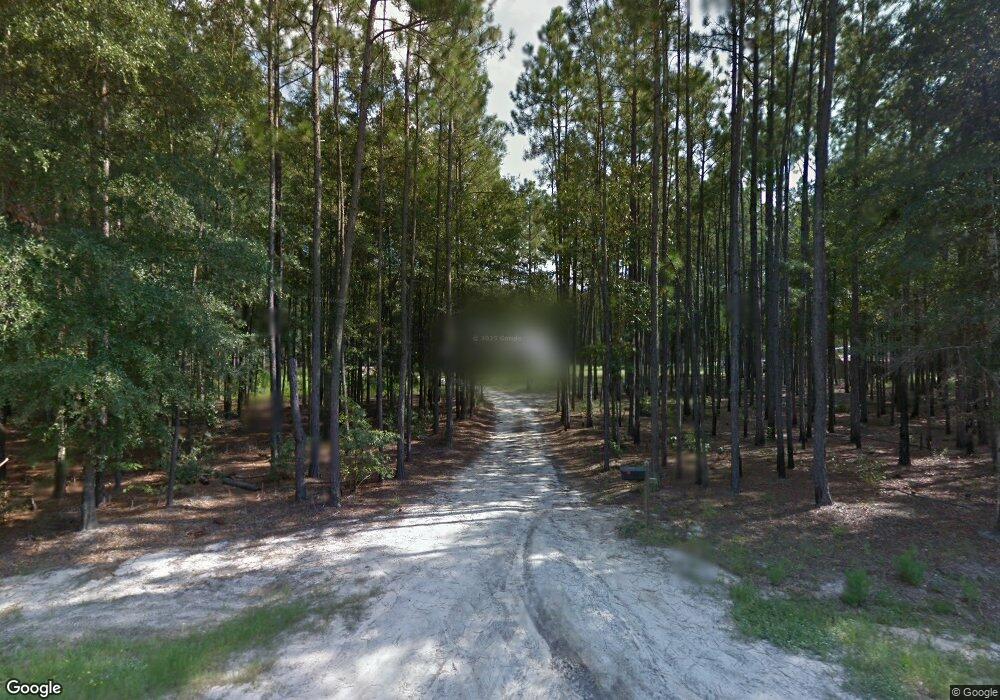
971 Frison Rd Millen, GA 30442
Estimated Value: $108,000 - $685,827
4
Beds
4
Baths
3,586
Sq Ft
$111/Sq Ft
Est. Value
About This Home
This home is located at 971 Frison Rd, Millen, GA 30442 and is currently estimated at $396,914, approximately $110 per square foot. 971 Frison Rd is a home with nearby schools including Jenkins County Elementary School, Jenkins County Middle School, and Jenkins County High School.
Ownership History
Date
Name
Owned For
Owner Type
Purchase Details
Closed on
Jan 2, 2013
Sold by
Davis Mable Jean
Bought by
Davis Joseph M
Current Estimated Value
Home Financials for this Owner
Home Financials are based on the most recent Mortgage that was taken out on this home.
Original Mortgage
$106,272
Interest Rate
3.35%
Mortgage Type
New Conventional
Purchase Details
Closed on
Aug 25, 2008
Sold by
Davis Joseph M
Bought by
Davis Mable Jean
Create a Home Valuation Report for This Property
The Home Valuation Report is an in-depth analysis detailing your home's value as well as a comparison with similar homes in the area
Purchase History
| Date | Buyer | Sale Price | Title Company |
|---|---|---|---|
| Davis Joseph M | -- | -- | |
| Davis Mable Jean | -- | -- |
Source: Public Records
Mortgage History
| Date | Status | Borrower | Loan Amount |
|---|---|---|---|
| Closed | Davis Joseph M | $106,272 |
Source: Public Records
Tax History
| Year | Tax Paid | Tax Assessment Tax Assessment Total Assessment is a certain percentage of the fair market value that is determined by local assessors to be the total taxable value of land and additions on the property. | Land | Improvement |
|---|---|---|---|---|
| 2024 | $5,391 | $244,640 | $3,200 | $241,440 |
| 2023 | $5,011 | $209,040 | $3,200 | $205,840 |
| 2022 | $3,253 | $134,440 | $3,200 | $131,240 |
| 2021 | $3,324 | $134,440 | $3,200 | $131,240 |
| 2020 | $3,458 | $134,440 | $3,200 | $131,240 |
| 2019 | $4,131 | $134,261 | $3,200 | $131,061 |
| 2018 | $3,510 | $134,261 | $3,200 | $131,061 |
| 2017 | $271 | $7,268 | $3,200 | $4,068 |
| 2016 | $277 | $7,533 | $3,200 | $4,333 |
| 2015 | -- | $7,533 | $3,200 | $4,333 |
| 2014 | -- | $7,886 | $3,200 | $4,686 |
Source: Public Records
Map
Nearby Homes
- 0 Honeyridge Rd Unit SA342509
- 0 Honeyridge Rd Unit SA343129
- 1135 N Masonic St
- 821 Harvey St
- 808 Harvey St
- 727 Harvey St
- 618 Walnut St
- 643 Barney Ave
- 622 Barney Ave
- 517 N Masonic St
- 319 Brown Ave
- 339 N Gray St
- 316 College Ave
- 0 U S 25 Unit 519033
- 0 U S 25 Unit 546423
- 144 E Winthrope Ave
- 349 Palmer Row
- 653 Palmer Row
- 827 Davis Ave
- 528 Tarver Ave
- 938 Old Perkins Rd
- 960 Old Perkins Rd
- 933 Frison Rd
- 904 Old Perkins Rd
- 933 Frison Rd
- 928 Frison Rd
- 905 Stevies Ln
- 925 Anglin Rd
- 972 Old Perkins Rd
- 1 Sandy Ridge
- 927 Martin Rd
- 932 Williams Estate Rd
- 989 Williams Estate Rd
- 969 Williams Estate Rd
- 953 Old Perkins Rd
- 913 Martin Rd
- 959 Perkins Rd
- 872 Old Perkins Rd
- 905 Martin Rd
- 879 Perkins Rd
