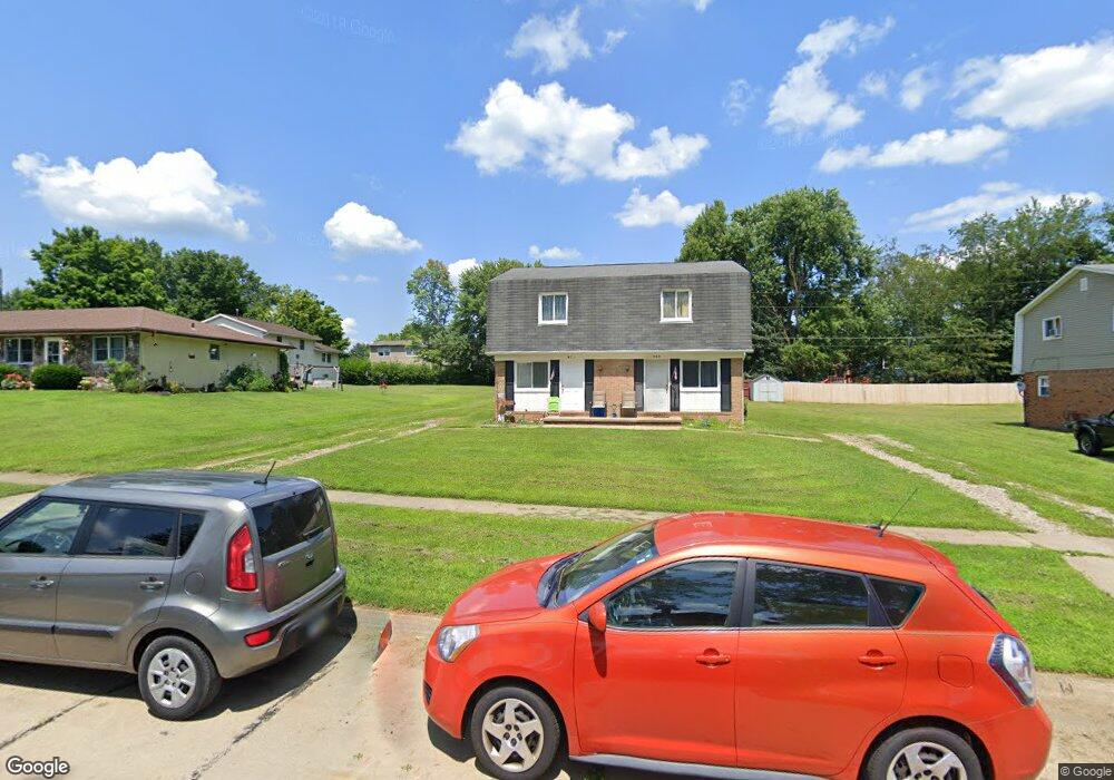
971 Mindy Ln Wooster, OH 44691
Estimated Value: $207,000 - $255,000
4
Beds
4
Baths
1,792
Sq Ft
$126/Sq Ft
Est. Value
About This Home
This home is located at 971 Mindy Ln, Wooster, OH 44691 and is currently estimated at $225,898, approximately $126 per square foot. 971 Mindy Ln is a home located in Wayne County with nearby schools including Parkview Elementary School, Edgewood Middle School, and Wooster High School.
Ownership History
Date
Name
Owned For
Owner Type
Purchase Details
Closed on
Nov 30, 2006
Sold by
G & C Real Estate Investments Llc
Bought by
Old World Investors Llc
Current Estimated Value
Home Financials for this Owner
Home Financials are based on the most recent Mortgage that was taken out on this home.
Original Mortgage
$362,335
Outstanding Balance
$216,872
Interest Rate
6.33%
Mortgage Type
Unknown
Estimated Equity
$9,026
Purchase Details
Closed on
Oct 18, 2002
Sold by
Paul E Bigler Trst
Bought by
Gant Danny G and Gant Kathryn L
Home Financials for this Owner
Home Financials are based on the most recent Mortgage that was taken out on this home.
Original Mortgage
$86,520
Interest Rate
10%
Mortgage Type
New Conventional
Purchase Details
Closed on
Jul 25, 1997
Sold by
Bigler Paul E
Bought by
John and Potts Terri
Create a Home Valuation Report for This Property
The Home Valuation Report is an in-depth analysis detailing your home's value as well as a comparison with similar homes in the area
Home Values in the Area
Average Home Value in this Area
Purchase History
| Date | Buyer | Sale Price | Title Company |
|---|---|---|---|
| Old World Investors Llc | $361,700 | Wayne County Title Agency | |
| Gant Danny G | $103,000 | -- | |
| John | $149,000 | -- |
Source: Public Records
Mortgage History
| Date | Status | Borrower | Loan Amount |
|---|---|---|---|
| Open | Old World Investors Llc | $362,335 | |
| Previous Owner | Gant Danny G | $86,520 |
Source: Public Records
Tax History
| Year | Tax Paid | Tax Assessment Tax Assessment Total Assessment is a certain percentage of the fair market value that is determined by local assessors to be the total taxable value of land and additions on the property. | Land | Improvement |
|---|---|---|---|---|
| 2024 | $2,136 | $50,520 | $16,140 | $34,380 |
| 2023 | $2,144 | $50,520 | $16,140 | $34,380 |
| 2022 | $1,963 | $36,880 | $11,780 | $25,100 |
| 2021 | $2,024 | $36,880 | $11,780 | $25,100 |
| 2020 | $1,921 | $36,880 | $11,780 | $25,100 |
| 2019 | $1,794 | $32,910 | $10,400 | $22,510 |
| 2018 | $1,799 | $32,910 | $10,400 | $22,510 |
| 2017 | $1,790 | $32,910 | $10,400 | $22,510 |
| 2016 | $1,883 | $31,840 | $10,400 | $21,440 |
| 2015 | $1,843 | $31,840 | $10,400 | $21,440 |
| 2014 | $1,850 | $31,840 | $10,400 | $21,440 |
| 2013 | $2,036 | $34,840 | $11,730 | $23,110 |
Source: Public Records
Map
Nearby Homes
- 972 Carriage Ln
- 862 Marilyn Dr
- 835 Marilyn Dr
- 869 Meadow Ln
- 1960 Autumn Run
- 2185 Ryan Ct
- 2360 Star Dr
- 2447 Wetherington Ln Unit 131
- 2447 Wetherington Ln Unit 130
- 2447 Wetherington Ln
- 1540 W Highland Ave
- 1587 Saunders Dr
- 2457 Barrington Way Unit 327
- 2457 Barrington Way Unit 325
- 2452 Barrington Way Unit 424
- 1717 Carlin Trail
- 1627 Carlin Trail
- 1624 Carlin Trail
- 1643 Carlin Trail
- Birch Plan at Clear Creek Run - Single Family Homes
Your Personal Tour Guide
Ask me questions while you tour the home.