971 Road 210 Cheyenne, WY 82009
Estimated Value: $550,000 - $698,123
--
Bed
--
Bath
3,950
Sq Ft
$160/Sq Ft
Est. Value
About This Home
This home is located at 971 Road 210, Cheyenne, WY 82009 and is currently estimated at $631,041, approximately $159 per square foot. 971 Road 210 is a home located in Laramie County with nearby schools including Gilchrist Elementary School, McCormick Junior High School, and Central High School.
Ownership History
Date
Name
Owned For
Owner Type
Purchase Details
Closed on
Dec 5, 2024
Sold by
Aldridge Frances C
Bought by
Aldridge Frances C and Aldridge Joseph Brian
Current Estimated Value
Purchase Details
Closed on
Jul 31, 2003
Sold by
Starwest Construction Llc
Bought by
Aldridge Joseph W and Aldridge Frances C
Home Financials for this Owner
Home Financials are based on the most recent Mortgage that was taken out on this home.
Original Mortgage
$312,300
Interest Rate
5.24%
Mortgage Type
Purchase Money Mortgage
Create a Home Valuation Report for This Property
The Home Valuation Report is an in-depth analysis detailing your home's value as well as a comparison with similar homes in the area
Home Values in the Area
Average Home Value in this Area
Purchase History
| Date | Buyer | Sale Price | Title Company |
|---|---|---|---|
| Aldridge Frances C | -- | None Listed On Document | |
| Aldridge Joseph W | -- | -- |
Source: Public Records
Mortgage History
| Date | Status | Borrower | Loan Amount |
|---|---|---|---|
| Previous Owner | Aldridge Joseph W | $312,300 |
Source: Public Records
Tax History Compared to Growth
Tax History
| Year | Tax Paid | Tax Assessment Tax Assessment Total Assessment is a certain percentage of the fair market value that is determined by local assessors to be the total taxable value of land and additions on the property. | Land | Improvement |
|---|---|---|---|---|
| 2025 | $4,290 | $33,331 | $5,157 | $28,174 |
| 2024 | $4,290 | $63,836 | $10,313 | $53,523 |
| 2023 | $5,342 | $81,293 | $9,545 | $71,748 |
| 2022 | $4,360 | $64,905 | $6,168 | $58,737 |
| 2021 | $4,535 | $67,350 | $5,525 | $61,825 |
| 2020 | $4,021 | $59,884 | $5,525 | $54,359 |
| 2019 | $3,999 | $59,507 | $5,525 | $53,982 |
| 2018 | $3,826 | $57,521 | $4,533 | $52,988 |
| 2017 | $2,838 | $42,251 | $4,533 | $37,718 |
| 2014 | $2,857 | $42,211 | $4,398 | $37,813 |
Source: Public Records
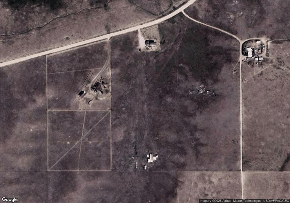
Map
Nearby Homes
- 1100 Brundage Rd
- 1113 Indiana Rd
- 1102 Dusty Rd
- 985 Range Line Rd
- 0 Range Line Rd
- Tract 234 Samoa Rd
- Lot 99 Tennessee Rd
- Tract 295 S Carolina Rd
- Tract 300 S Carolina Rd
- Tract 291 Boundary Rd
- TBD Boundary Rd
- Lot 346 Carribean Rd
- Lot 340 Carribean Rd
- Lot 366 Carribean Rd
- Tract 29 Latigo Loop
- Tract 334 Bering Rd
- 1483 Gilchrist Rd
- 759 Crow Creek Rd
- 879 S Table Mtn Loop
- Tr 10 Tomahawk Rd
- 957 Road 210
- 991 Road 210
- 1005 Road 210
- 1009 Road 210
- 985 Road 210
- 1011 Road 210
- 1019 Road 210
- 1063 Happy Jack Rd
- 1025 Road 210
- 927 Road 210
- 1065 Happy Jack Rd
- 1035 Road 210
- 929 Road 210
- 1059 Happy Jack Rd
- 1069 Happy Jack Rd
- 1044 Ferguson Rd
- 1044 Road 110
- 1023 Road 110
- 1026 Saint James Rd
- 1060 Happy Jack Rd