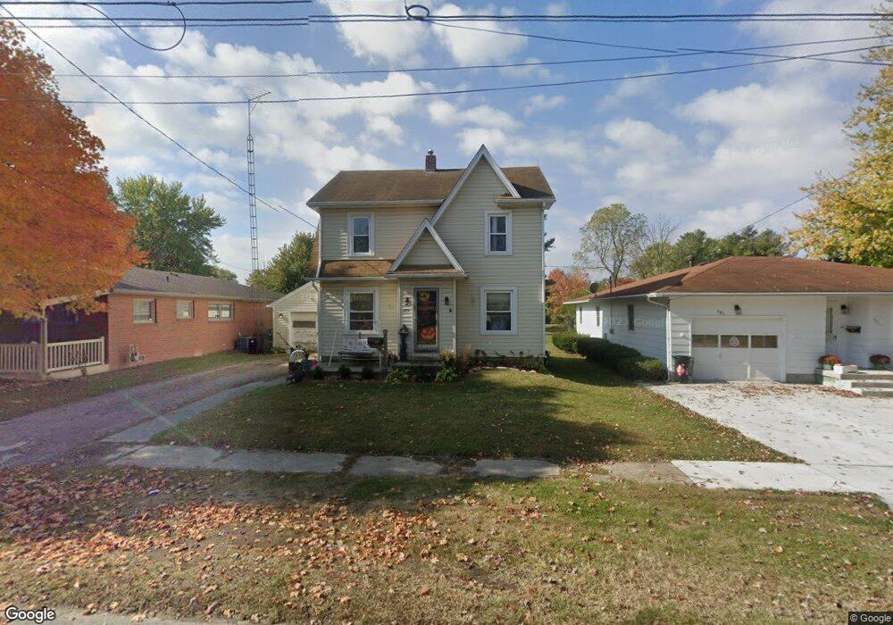
971 Sheridan Rd Marion, OH 43302
Estimated Value: $149,000 - $169,000
3
Beds
1
Bath
1,266
Sq Ft
$125/Sq Ft
Est. Value
About This Home
This home is located at 971 Sheridan Rd, Marion, OH 43302 and is currently estimated at $157,969, approximately $124 per square foot. 971 Sheridan Rd is a home located in Marion County with nearby schools including William McKinley Elementary School, Ulysses S. Grant Middle School, and Harding High School.
Ownership History
Date
Name
Owned For
Owner Type
Purchase Details
Closed on
Feb 2, 2015
Bought by
Childress Ashley N
Current Estimated Value
Purchase Details
Closed on
Mar 25, 2011
Sold by
Childress Martin Troy
Bought by
Childress Martin Troy and Childress Jamie
Purchase Details
Closed on
Jan 21, 2004
Bought by
Childress Ashley N
Purchase Details
Closed on
Sep 16, 2003
Bought by
Childress Ashley N
Purchase Details
Closed on
Jul 19, 2001
Bought by
Childress Ashley N
Purchase Details
Closed on
May 13, 1999
Bought by
Childress Ashley N
Purchase Details
Closed on
Mar 4, 1994
Bought by
Childress Ashley N
Create a Home Valuation Report for This Property
The Home Valuation Report is an in-depth analysis detailing your home's value as well as a comparison with similar homes in the area
Home Values in the Area
Average Home Value in this Area
Purchase History
| Date | Buyer | Sale Price | Title Company |
|---|---|---|---|
| Childress Ashley N | -- | -- | |
| Childress Martin Troy | -- | None Available | |
| Childress Ashley N | -- | -- | |
| Childress Ashley N | -- | -- | |
| Childress Ashley N | -- | -- | |
| Childress Ashley N | $76,500 | -- | |
| Childress Ashley N | $52,500 | -- |
Source: Public Records
Tax History Compared to Growth
Tax History
| Year | Tax Paid | Tax Assessment Tax Assessment Total Assessment is a certain percentage of the fair market value that is determined by local assessors to be the total taxable value of land and additions on the property. | Land | Improvement |
|---|---|---|---|---|
| 2024 | $1,935 | $33,530 | $2,520 | $31,010 |
| 2023 | $1,935 | $33,530 | $2,520 | $31,010 |
| 2022 | $1,195 | $33,530 | $2,520 | $31,010 |
| 2021 | $1,030 | $26,040 | $2,190 | $23,850 |
| 2020 | $1,033 | $26,040 | $2,190 | $23,850 |
| 2019 | $1,005 | $26,040 | $2,190 | $23,850 |
| 2018 | $837 | $21,710 | $2,160 | $19,550 |
| 2017 | $848 | $21,710 | $2,160 | $19,550 |
| 2016 | $843 | $21,710 | $2,160 | $19,550 |
| 2015 | $868 | $21,270 | $2,060 | $19,210 |
| 2014 | $870 | $21,270 | $2,060 | $19,210 |
| 2012 | $749 | $18,210 | $2,840 | $15,370 |
Source: Public Records
Map
Nearby Homes
- 950 Oak Grove Ave
- 889 Oak Grove Ave
- 796 Woodrow Ave
- 786 Sheridan Rd
- 824 Oak Grove Ave
- 772 Sheridan Rd
- 625 Rochelle Dr
- 757 Merkle Ave
- 0 Bellefontaine Ave
- 720 Woodrow Ave
- 716 Uncapher Ave
- 668 Uncapher Ave
- 645 Henry St
- 1406 Plantation Dr
- 681 Davids St
- 472 Clinton St
- 981 Davids St
- 989 Davids St
- 1421 Plantation Dr
- 1133 Amherst Dr
- 981 Sheridan Rd
- 967 Sheridan Rd
- 963 Sheridan Rd
- 993 Sheridan Rd
- 970 Sheridan Rd
- 990 Merkle Ave
- 815 Whittier Ave
- 982 Sheridan Rd
- 809 Whittier Ave
- 997 Sheridan Rd
- 1000 Merkle Ave
- 965 Woodrow Ave
- 948 Merkle Ave
- 953 Sheridan Rd
- 949 Woodrow Ave
- 942 Merkle Ave
- 986 Woodrow Ave
- 988 Woodrow Ave
- 980 Woodrow Ave
- 951 Sheridan Rd