971 Ward Rd Sequim, WA 98382
Estimated Value: $321,960 - $370,000
3
Beds
3
Baths
2,240
Sq Ft
$154/Sq Ft
Est. Value
About This Home
This home is located at 971 Ward Rd, Sequim, WA 98382 and is currently estimated at $345,980, approximately $154 per square foot. 971 Ward Rd is a home located in Clallam County with nearby schools including Greywolf Elementary School, Sequim Middle School, and Sequim Senior High School.
Ownership History
Date
Name
Owned For
Owner Type
Purchase Details
Closed on
Feb 28, 2020
Sold by
Suarez Alicia and Suarez Alicia K
Bought by
Bresler Charles and Schott Diana
Current Estimated Value
Purchase Details
Closed on
Nov 15, 2019
Sold by
Hickey Stephen Patrick
Bought by
Suarez Aliciak
Purchase Details
Closed on
Feb 18, 2019
Sold by
Farren Patricia Y
Bought by
Hickey Anita Hunt and Hickey Stephen Patrick
Create a Home Valuation Report for This Property
The Home Valuation Report is an in-depth analysis detailing your home's value as well as a comparison with similar homes in the area
Purchase History
| Date | Buyer | Sale Price | Title Company |
|---|---|---|---|
| Bresler Charles | $210,000 | Clallam Title Company | |
| Suarez Aliciak | -- | Clallam Title Company | |
| Hickey Anita Hunt | $250,000 | Clallam Title Co |
Source: Public Records
Tax History
| Year | Tax Paid | Tax Assessment Tax Assessment Total Assessment is a certain percentage of the fair market value that is determined by local assessors to be the total taxable value of land and additions on the property. | Land | Improvement |
|---|---|---|---|---|
| 2021 | $1,864 | $201,797 | $91,251 | $110,546 |
| 2020 | $2,955 | $145,038 | $44,287 | $100,751 |
| 2018 | $0 | $184,503 | $91,251 | $93,252 |
| 2017 | $0 | $162,929 | $91,251 | $71,678 |
| 2016 | $285 | $164,170 | $91,251 | $72,919 |
| 2015 | $285 | $163,733 | $91,251 | $72,482 |
| 2013 | $285 | $113,099 | $91,251 | $21,848 |
| 2012 | $285 | $123,238 | $0 | $21,848 |
Source: Public Records
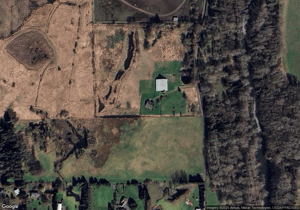
Map
Nearby Homes
- 946 N Rock Rose Ave
- 235 Brittany Ln
- 9999 Thornton Dr
- 0 Buttercup Ln
- NKA Buttercup Ln
- 113 Gold Dust Ln
- 982 E Anderson Rd
- 311 Mountain View Dr
- 52 Libby St
- 70 Cedar Hill Ln
- 70 Twin View Dr
- 1250 Thornton Dr
- 4495 Sequim Dungeness Way
- 999 Moonlight Dr
- 293 Moonlight Dr
- NKA Moonlight Dr
- 1330 Thornton Dr
- 995 Kirner Rd
- 22 Grandview Dr
- 104 Green Valley Ln
Your Personal Tour Guide
Ask me questions while you tour the home.