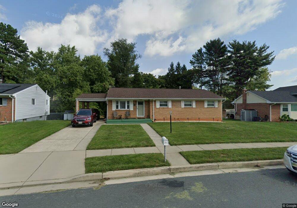
9710 Ames Ct Randallstown, MD 21133
Estimated Value: $359,444 - $403,000
Studio
2
Baths
1,459
Sq Ft
$257/Sq Ft
Est. Value
About This Home
This home is located at 9710 Ames Ct, Randallstown, MD 21133 and is currently estimated at $374,611, approximately $256 per square foot. 9710 Ames Ct is a home located in Baltimore County with nearby schools including Hernwood Elementary School, Deer Park Middle Magnet School, and New Town High.
Ownership History
Date
Name
Owned For
Owner Type
Purchase Details
Closed on
Jul 19, 1994
Sold by
Ruffin James H
Bought by
Goins Keith L
Current Estimated Value
Home Financials for this Owner
Home Financials are based on the most recent Mortgage that was taken out on this home.
Original Mortgage
$91,200
Interest Rate
8.51%
Purchase Details
Closed on
Dec 30, 1977
Sold by
Brooks Dennie R
Bought by
Ruffin James H
Create a Home Valuation Report for This Property
The Home Valuation Report is an in-depth analysis detailing your home's value as well as a comparison with similar homes in the area
Home Values in the Area
Average Home Value in this Area
Purchase History
| Date | Buyer | Sale Price | Title Company |
|---|---|---|---|
| Goins Keith L | $114,000 | -- | |
| Ruffin James H | $50,000 | -- |
Source: Public Records
Mortgage History
| Date | Status | Borrower | Loan Amount |
|---|---|---|---|
| Closed | Goins Keith L | $91,200 |
Source: Public Records
Tax History
| Year | Tax Paid | Tax Assessment Tax Assessment Total Assessment is a certain percentage of the fair market value that is determined by local assessors to be the total taxable value of land and additions on the property. | Land | Improvement |
|---|---|---|---|---|
| 2025 | $3,382 | $242,800 | -- | -- |
| 2024 | $3,382 | $224,700 | $82,600 | $142,100 |
| 2023 | $1,698 | $218,067 | $0 | $0 |
| 2022 | $3,520 | $211,433 | $0 | $0 |
| 2021 | $3,258 | $204,800 | $82,600 | $122,200 |
| 2020 | $3,258 | $192,833 | $0 | $0 |
| 2019 | $2,984 | $180,867 | $0 | $0 |
| 2018 | $2,756 | $168,900 | $68,600 | $100,300 |
| 2017 | $2,835 | $167,367 | $0 | $0 |
| 2016 | $3,058 | $165,833 | $0 | $0 |
| 2015 | $3,058 | $164,300 | $0 | $0 |
| 2014 | $3,058 | $164,300 | $0 | $0 |
Source: Public Records
Map
Nearby Homes
- 9713 Mendoza Rd
- 9605 Mendoza Rd
- 3516 Corn Stream Rd
- 10 Geier Ct
- 3558 Corn Stream Rd
- 9804 Marriottsville Rd
- 10 Kiska Ct
- 3618 Granite Rd
- 3715 Peace Chance Dr
- 9301 Silver Charm Dr
- 3200 Peddicoat Ct
- 9401 Summer Squal Dr
- 3986 Red Deer Cir
- 9839 Branchleigh Rd
- 3 Dajobe Ct
- 9208A Liberty Rd
- 3320 Offutt Rd
- 3332 Offutt Rd
- 4105 Hanwell Rd
- 4108 Brown Bark Cir
Your Personal Tour Guide
Ask me questions while you tour the home.