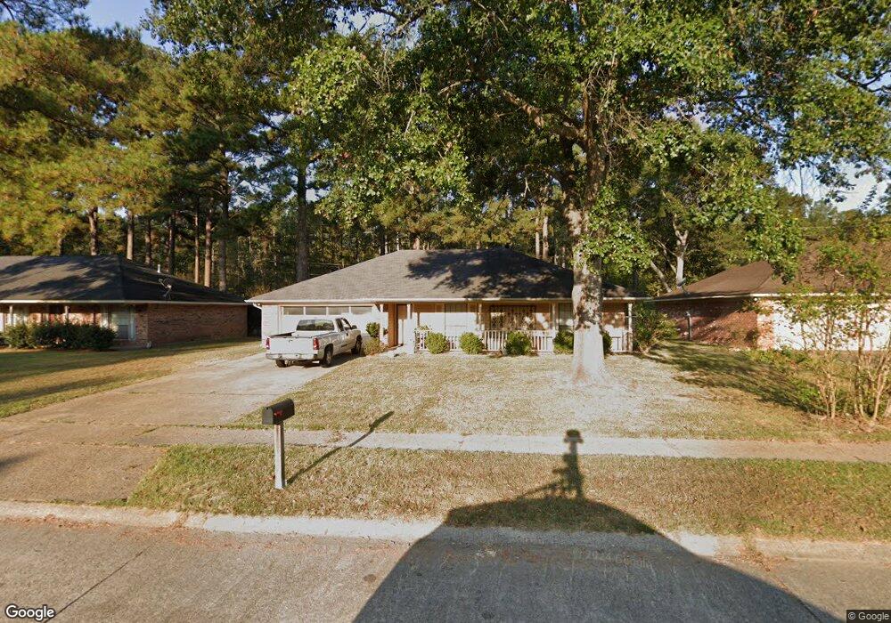
9710 Leaside Way Shreveport, LA 71118
Jenkins-Pinecroft NeighborhoodEstimated Value: $182,000 - $199,000
3
Beds
2
Baths
1,554
Sq Ft
$122/Sq Ft
Est. Value
About This Home
This home is located at 9710 Leaside Way, Shreveport, LA 71118 and is currently estimated at $189,059, approximately $121 per square foot. 9710 Leaside Way is a home located in Caddo Parish with nearby schools including Fairfield Magnet School, Judson Fundamental Elementary School, and South Highlands Elementary.
Ownership History
Date
Name
Owned For
Owner Type
Purchase Details
Closed on
Oct 30, 2009
Sold by
May Cheryl Dianne Prothro and May Albert R
Bought by
Sullivan Ii James Stanley and Sullivan April Lace Baldwin
Current Estimated Value
Home Financials for this Owner
Home Financials are based on the most recent Mortgage that was taken out on this home.
Original Mortgage
$136,482
Outstanding Balance
$89,345
Interest Rate
5.05%
Mortgage Type
Unknown
Estimated Equity
$99,714
Create a Home Valuation Report for This Property
The Home Valuation Report is an in-depth analysis detailing your home's value as well as a comparison with similar homes in the area
Home Values in the Area
Average Home Value in this Area
Purchase History
| Date | Buyer | Sale Price | Title Company |
|---|---|---|---|
| Sullivan Ii James Stanley | $139,000 | None Available |
Source: Public Records
Mortgage History
| Date | Status | Borrower | Loan Amount |
|---|---|---|---|
| Open | Sullivan Ii James Stanley | $136,482 |
Source: Public Records
Tax History Compared to Growth
Tax History
| Year | Tax Paid | Tax Assessment Tax Assessment Total Assessment is a certain percentage of the fair market value that is determined by local assessors to be the total taxable value of land and additions on the property. | Land | Improvement |
|---|---|---|---|---|
| 2024 | $2,112 | $13,548 | $2,809 | $10,739 |
| 2023 | $1,987 | $12,465 | $2,675 | $9,790 |
| 2022 | $1,987 | $12,465 | $2,675 | $9,790 |
| 2021 | $1,956 | $12,465 | $2,675 | $9,790 |
| 2020 | $1,957 | $12,465 | $2,675 | $9,790 |
| 2019 | $1,993 | $12,325 | $2,675 | $9,650 |
| 2018 | $621 | $12,325 | $2,675 | $9,650 |
| 2017 | $2,025 | $12,325 | $2,675 | $9,650 |
| 2015 | $619 | $12,280 | $2,680 | $9,600 |
| 2014 | $624 | $12,280 | $2,680 | $9,600 |
| 2013 | -- | $12,280 | $2,680 | $9,600 |
Source: Public Records
Map
Nearby Homes
- 9515 Rose Hollow Ln
- 9507 Chaparral Ln
- 9717 Charleston Dr
- 3415 Tara Ln
- 3419 Tara Ln
- 3600 Lannon Cir
- 2903 Williamson Way
- 3359 Green Terrace Rd
- 9336 Dean Rd
- 3315 Armstead Dr
- 5340 Colquitt Rd
- 9242 Simmons Place
- 234 Woodcrest Dr
- 9227 Walker Rd
- 9416 Woodcrest Dr
- 2424 Somersworth Dr
- 3242 Bert Kouns Industrial Loop
- 2422 Somersworth Dr
- 8996 Mansfield Rd
- 3017 Hazel Cir
- 9708 Leaside Way
- 9712 Leaside Way
- 9714 Leaside Way
- 9706 Leaside Way
- 3329 Cheverny Cir
- 9716 Leaside Way
- 3328 Cheverny Cir
- 3330 Chaumont Cir
- 9704 Leaside Way
- 3325 Cheverny Cir
- 3324 Cheverny Cir
- 9718 Leaside Way
- 3326 Chaumont Cir
- 9720 Leaside Way
- 9720 Leaside Way
- 9720 Leaside Way
- 9720 Leaside Way
- 3321 Cheverny Cir
- 9700 Leaside Way
- 3320 Cheverny Cir