9710 Turner Rd Westpoint, IN 47992
Estimated Value: $195,421 - $267,000
Studio
--
Bath
1,644
Sq Ft
$137/Sq Ft
Est. Value
About This Home
This home is located at 9710 Turner Rd, Westpoint, IN 47992 and is currently estimated at $224,855, approximately $136 per square foot. 9710 Turner Rd is a home located in Tippecanoe County with nearby schools including Mintonye Elementary School, Southwestern Middle School, and McCutcheon High School.
Ownership History
Date
Name
Owned For
Owner Type
Purchase Details
Closed on
Aug 16, 2018
Sold by
Day Jerald
Bought by
Day Jerald and Neweel Kim R
Current Estimated Value
Purchase Details
Closed on
Jul 23, 2003
Sold by
Day Julia K and Day Phyllis J
Bought by
Day Jerald
Home Financials for this Owner
Home Financials are based on the most recent Mortgage that was taken out on this home.
Original Mortgage
$63,000
Interest Rate
7.99%
Mortgage Type
Purchase Money Mortgage
Create a Home Valuation Report for This Property
The Home Valuation Report is an in-depth analysis detailing your home's value as well as a comparison with similar homes in the area
Purchase History
| Date | Buyer | Sale Price | Title Company |
|---|---|---|---|
| Day Jerald | -- | None Available | |
| Day Jerald | -- | Towne & Country Land Title A |
Source: Public Records
Mortgage History
| Date | Status | Borrower | Loan Amount |
|---|---|---|---|
| Closed | Day Jerald | $63,000 |
Source: Public Records
Tax History
| Year | Tax Paid | Tax Assessment Tax Assessment Total Assessment is a certain percentage of the fair market value that is determined by local assessors to be the total taxable value of land and additions on the property. | Land | Improvement |
|---|---|---|---|---|
| 2025 | $301 | $94,900 | $26,400 | $68,500 |
| 2024 | $301 | $81,800 | $26,400 | $55,400 |
| 2023 | $298 | $79,900 | $26,400 | $53,500 |
| 2022 | $241 | $68,300 | $26,400 | $41,900 |
| 2021 | $230 | $64,500 | $26,400 | $38,100 |
| 2020 | $222 | $64,500 | $26,400 | $38,100 |
| 2019 | $210 | $61,700 | $26,400 | $35,300 |
| 2018 | $226 | $66,200 | $26,400 | $39,800 |
| 2017 | $220 | $65,500 | $26,400 | $39,100 |
| 2016 | $219 | $64,400 | $26,400 | $38,000 |
| 2014 | $208 | $61,300 | $26,400 | $34,900 |
| 2013 | $216 | $60,600 | $26,400 | $34,200 |
Source: Public Records
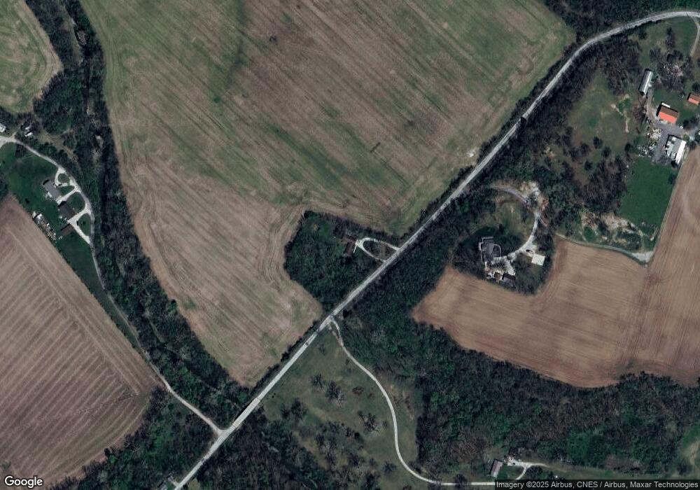
Map
Nearby Homes
- 8013 W 510 S
- 5012 Washington St
- 8410 W 200 S
- 6943 Main St
- 6243 S 700 W
- 14 S 875 W
- 1 Adeway Ct
- 5421 N Riverside Rd
- 7594 E Independence Rd
- 9227 S 900 W
- 4400 Silver Shale Ln
- 4400 Silver Shale Ln
- 4510 Indiana 25
- 106 Timbercrest Rd
- 111 N 500 W
- 1826 Arrowhead Dr
- 1570 Rosco Dr
- 3138 Henry St
- 2325 N 650 W
- 2440 N 650 W
- 9730 Turner Rd
- 9904 Turner Rd
- 9929 Turner Rd
- 4428 S County Line Rd W
- 4504 S County Line W Rd
- 9495 Turner Rd
- 4520 S County Line Rd W
- 4917 Coolidge Rd
- 4911 Coolidge Rd
- 9820 W 510 S
- 9802 W 510 S
- 8820 Turner Rd
- 3524 E Flint Rd
- 8800 Turner Rd
- 4901 Coolidge Rd
- 4907 Coolidge Rd
- 5123 S County Line Rd W
- 5123 S Co Line W Rd W
- 9510 W 510 S
- 3591 E Flint Rd
Your Personal Tour Guide
Ask me questions while you tour the home.