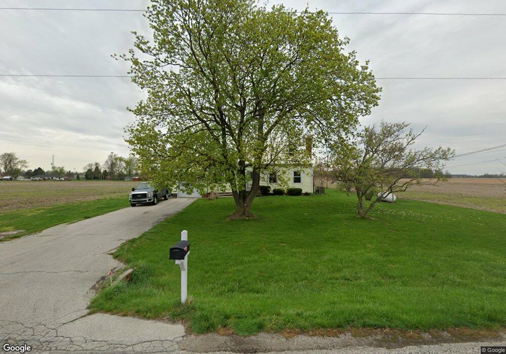
9711 Parent Rd New Haven, IN 46774
Northeast Fort Wayne NeighborhoodEstimated Value: $204,000 - $286,000
3
Beds
3
Baths
1,852
Sq Ft
$138/Sq Ft
Est. Value
About This Home
This home is located at 9711 Parent Rd, New Haven, IN 46774 and is currently estimated at $256,188, approximately $138 per square foot. 9711 Parent Rd is a home located in Allen County with nearby schools including J Wilbur Haley Elementary School, Blackhawk Middle School, and R Nelson Snider High School.
Ownership History
Date
Name
Owned For
Owner Type
Purchase Details
Closed on
Aug 31, 2006
Sold by
Moehring Roland G
Bought by
Becker Byron T and Becker Lisa J
Current Estimated Value
Home Financials for this Owner
Home Financials are based on the most recent Mortgage that was taken out on this home.
Original Mortgage
$84,000
Outstanding Balance
$50,198
Interest Rate
6.77%
Mortgage Type
Purchase Money Mortgage
Estimated Equity
$205,990
Purchase Details
Closed on
Jan 25, 2002
Sold by
Moehring Laura L
Bought by
Laura L Moehring Trust and Moehring Laura L
Create a Home Valuation Report for This Property
The Home Valuation Report is an in-depth analysis detailing your home's value as well as a comparison with similar homes in the area
Home Values in the Area
Average Home Value in this Area
Purchase History
| Date | Buyer | Sale Price | Title Company |
|---|---|---|---|
| Becker Byron T | -- | Commonwealth-Dreibelbiss Tit | |
| Becker Byron T | -- | Commonwealth-Dreibelbiss Tit | |
| Laura L Moehring Trust | -- | -- |
Source: Public Records
Mortgage History
| Date | Status | Borrower | Loan Amount |
|---|---|---|---|
| Open | Becker Byron T | $84,000 | |
| Closed | Becker Byron T | $36,000 |
Source: Public Records
Tax History
| Year | Tax Paid | Tax Assessment Tax Assessment Total Assessment is a certain percentage of the fair market value that is determined by local assessors to be the total taxable value of land and additions on the property. | Land | Improvement |
|---|---|---|---|---|
| 2025 | $1,676 | $251,600 | $42,500 | $209,100 |
| 2024 | $1,617 | $242,200 | $42,500 | $199,700 |
| 2022 | $1,641 | $221,600 | $37,100 | $184,500 |
| 2021 | $1,324 | $179,500 | $37,100 | $142,400 |
| 2020 | $1,163 | $159,500 | $37,100 | $122,400 |
| 2019 | $1,049 | $143,700 | $37,100 | $106,600 |
| 2018 | $1,067 | $143,700 | $37,100 | $106,600 |
| 2017 | $993 | $132,400 | $37,100 | $95,300 |
| 2016 | $1,015 | $132,300 | $37,100 | $95,200 |
| 2014 | $903 | $124,000 | $37,100 | $86,900 |
| 2013 | $950 | $129,200 | $37,500 | $91,700 |
Source: Public Records
Map
Nearby Homes
- 9311 Parent Rd
- 3310 Brantley Dr
- 3019 Rolling Meadows Ln
- 4521 Schwartz Rd
- 2626 Darwood Grove
- 3634 Colorado Ct
- 8230 Oklahoma Trail
- 8315 Idaho Dr
- 8108 Newfield Dr
- 4231 Cadena Ct
- 2711 Sandarac Ln
- 3414 Country Park Ln
- 2223 Greythorn Dr
- 8768 Grand Forest Dr
- 9175 Landin Pointe Blvd
- 1025 Miller Woods Way
- 7728 Wishingwell Ct
- 984 Rookery Way
- 967 Rookery Way
- Henley Plan at Riverwalk
- 9622 Placid Park Dr
- 9532 Placid Park Dr
- 9512 Placid Park Dr
- 9965 Parent Rd
- 9502 Placid Park Dr
- 9443 Parent Rd
- 9426 Placid Park Dr
- 9414 Placid Park Dr
- 9410 Placid Park Dr
- 3322 Landin Rd
- 10042 Parent Rd
- 3168 Brantley Dr
- 3168 Brantley Dr Unit 29
- 3212 Brantley Dr
- 3212 Brantley Dr Unit 31
- 3236 Brantley Dr
- 3236 Brantley Dr Unit 32
- 3190 Brantley Dr
- 3190 Brantley Dr Unit 30
- 3150 Brantley Dr Unit 28
Your Personal Tour Guide
Ask me questions while you tour the home.