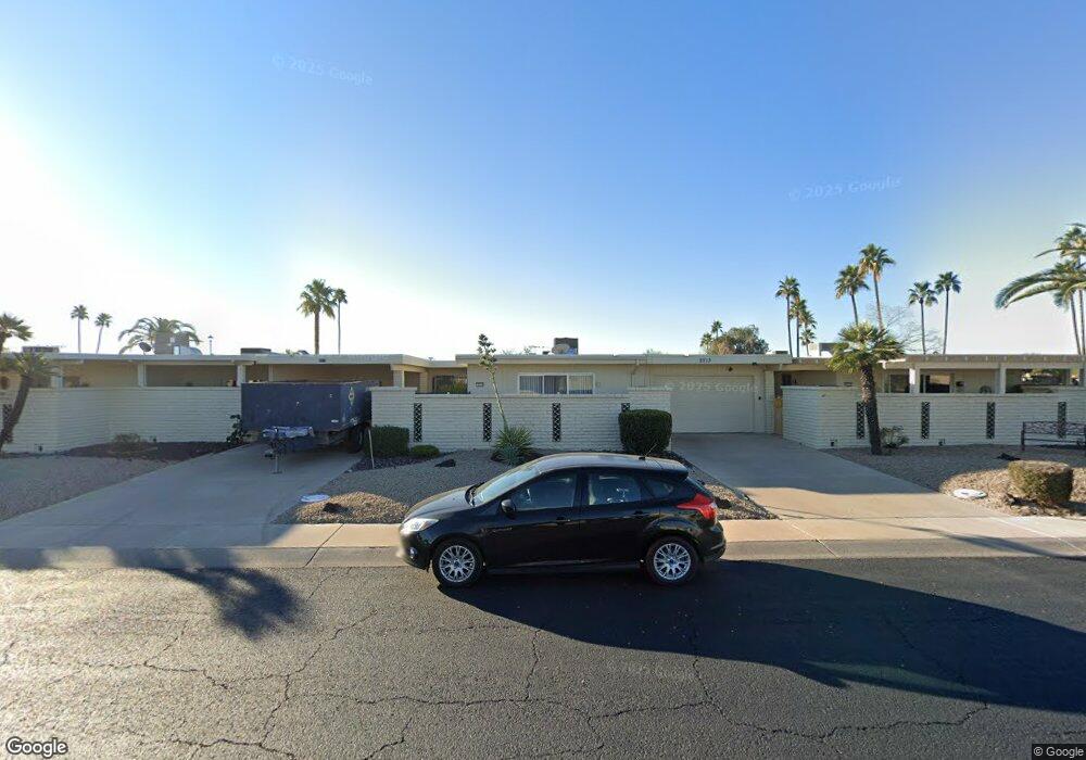
9711 W Lancaster Dr Sun City, AZ 85351
Estimated Value: $135,000 - $182,000
--
Bed
1
Bath
852
Sq Ft
$193/Sq Ft
Est. Value
About This Home
This home is located at 9711 W Lancaster Dr, Sun City, AZ 85351 and is currently estimated at $164,023, approximately $192 per square foot. 9711 W Lancaster Dr is a home located in Maricopa County with nearby schools including Ombudsman - Northwest Charter and Arrowhead Montessori.
Ownership History
Date
Name
Owned For
Owner Type
Purchase Details
Closed on
Feb 8, 2017
Sold by
Anderson Philip C and Anderson Naomi J
Bought by
Anderson Philip C and Anderson Naomi J
Current Estimated Value
Purchase Details
Closed on
Feb 24, 2016
Sold by
Healy Juanita F
Bought by
Anderson Philip C and Anderson Naomi J
Purchase Details
Closed on
Feb 15, 2001
Sold by
Moss Dolores E and Leatherman Diana M
Bought by
Healy Juanita F
Create a Home Valuation Report for This Property
The Home Valuation Report is an in-depth analysis detailing your home's value as well as a comparison with similar homes in the area
Home Values in the Area
Average Home Value in this Area
Purchase History
| Date | Buyer | Sale Price | Title Company |
|---|---|---|---|
| Anderson Philip C | -- | None Available | |
| Anderson Philip C | $56,000 | First American Title Ins Co | |
| Healy Juanita F | $56,500 | Capital Title Agency |
Source: Public Records
Tax History Compared to Growth
Tax History
| Year | Tax Paid | Tax Assessment Tax Assessment Total Assessment is a certain percentage of the fair market value that is determined by local assessors to be the total taxable value of land and additions on the property. | Land | Improvement |
|---|---|---|---|---|
| 2025 | $455 | $6,072 | -- | -- |
| 2024 | $491 | $5,783 | -- | -- |
| 2023 | $491 | $12,280 | $2,450 | $9,830 |
| 2022 | $468 | $10,170 | $2,030 | $8,140 |
| 2021 | $479 | $8,960 | $1,790 | $7,170 |
| 2020 | $466 | $8,420 | $1,680 | $6,740 |
| 2019 | $460 | $7,010 | $1,400 | $5,610 |
| 2018 | $449 | $5,710 | $1,140 | $4,570 |
| 2017 | $433 | $5,110 | $1,020 | $4,090 |
| 2016 | $14 | $4,250 | $850 | $3,400 |
| 2015 | $0 | $4,250 | $850 | $3,400 |
Source: Public Records
Map
Nearby Homes
- 13207 N 98th Ave Unit L
- 13611 N 98th Ave Unit D
- 13608 N 98th Ave Unit Q
- 13232 N 98th Ave Unit G
- 13232 N 98th Ave Unit K
- 13207 N Branding Iron Dr
- 13621 N 98th Ave Unit H
- 13622 N 98th Ave Unit D
- 13215 N Lakeforest Dr
- 13709 N 98th Ave Unit B
- 9834 W Emberwood Dr
- 13720 N 98th Ave Unit A
- 13233 N 99th Dr Unit 24B
- 9300 W Wood Dr
- 9295 W Wood Dr
- 13222 N 99th Dr
- 10050 W Lancaster Dr
- 10038 W Lancaster Dr
- 9430 W Arrowhead Dr
- 9325 W Arrowhead Dr
- 9712 W Teakwood Dr
- 9713 W Lancaster Dr
- 9709 W Lancaster Dr
- 9714 W Teakwood Dr
- 9710 W Teakwood Dr
- 9756 W Lancaster Dr Unit 28A
- 9760 W Lancaster Dr
- 9706 W Teakwood Dr Unit 28B
- 9752 W Lancaster Dr Unit 28A
- 9752 W Lancaster Dr
- 9711 W Teakwood Dr
- 9709 W Teakwood Dr
- 9748 W Lancaster Dr
- 9713 W Teakwood Dr
- 9707 W Teakwood Dr
- 9801 W Lancaster Dr
- 9802 W Teakwood Dr
- 9710 W Redwood Dr
- 9712 W Redwood Dr
- 9714 W Redwood Dr