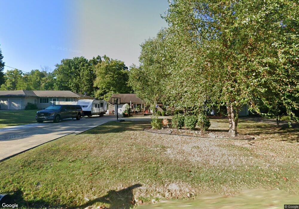
9712 Fair Rd Strongsville, OH 44149
Estimated Value: $278,230 - $301,000
3
Beds
2
Baths
1,379
Sq Ft
$210/Sq Ft
Est. Value
About This Home
This home is located at 9712 Fair Rd, Strongsville, OH 44149 and is currently estimated at $289,808, approximately $210 per square foot. 9712 Fair Rd is a home located in Cuyahoga County with nearby schools including Strongsville High School, Sts Joseph & John Interparochial School, and St Mary School.
Ownership History
Date
Name
Owned For
Owner Type
Purchase Details
Closed on
Nov 10, 2023
Sold by
Gillahan Michael O and Gillahan Catherine
Bought by
Gillahan Family Revocable Living Trust and Gillahan
Current Estimated Value
Purchase Details
Closed on
Mar 19, 2010
Sold by
Gillahan Michael O and Gillahan Catherine
Bought by
Gillahan Michael O and Gillahan Catherine
Purchase Details
Closed on
Oct 5, 2001
Sold by
Kinsner Bessie M and Kinsner Dennis A
Bought by
Gillahan Michael O
Home Financials for this Owner
Home Financials are based on the most recent Mortgage that was taken out on this home.
Original Mortgage
$121,250
Interest Rate
6.92%
Purchase Details
Closed on
Jul 29, 1985
Sold by
Kinsner Bessie M
Bought by
Kinsner Bessie M
Purchase Details
Closed on
Jan 1, 1975
Bought by
Kinsner Bessie M
Create a Home Valuation Report for This Property
The Home Valuation Report is an in-depth analysis detailing your home's value as well as a comparison with similar homes in the area
Home Values in the Area
Average Home Value in this Area
Purchase History
| Date | Buyer | Sale Price | Title Company |
|---|---|---|---|
| Gillahan Family Revocable Living Trust | -- | None Listed On Document | |
| Gillahan Michael O | -- | Attorney | |
| Gillahan Michael O | -- | Attorney | |
| Gillahan Michael O | $125,000 | American Title & Trust Agenc | |
| Kinsner Bessie M | -- | -- | |
| Kinsner Bessie M | -- | -- |
Source: Public Records
Mortgage History
| Date | Status | Borrower | Loan Amount |
|---|---|---|---|
| Previous Owner | Gillahan Michael O | $121,250 |
Source: Public Records
Tax History Compared to Growth
Tax History
| Year | Tax Paid | Tax Assessment Tax Assessment Total Assessment is a certain percentage of the fair market value that is determined by local assessors to be the total taxable value of land and additions on the property. | Land | Improvement |
|---|---|---|---|---|
| 2024 | $3,873 | $82,495 | $18,690 | $63,805 |
| 2023 | $3,928 | $61,400 | $17,540 | $43,860 |
| 2022 | $3,900 | $61,390 | $17,540 | $43,860 |
| 2021 | $3,872 | $61,390 | $17,540 | $43,860 |
| 2020 | $3,588 | $50,330 | $14,390 | $35,950 |
| 2019 | $3,485 | $143,800 | $41,100 | $102,700 |
| 2018 | $3,171 | $50,330 | $14,390 | $35,950 |
| 2017 | $3,091 | $45,430 | $13,090 | $32,340 |
| 2016 | $3,066 | $45,430 | $13,090 | $32,340 |
| 2015 | $3,020 | $45,430 | $13,090 | $32,340 |
| 2014 | $3,020 | $44,110 | $12,710 | $31,400 |
Source: Public Records
Map
Nearby Homes
- 9401 Pheasant Run Place
- 20424 Scotch Pine Way
- 21292 Creekside Dr
- 20684 Albion Rd
- 10839 Prospect Rd
- 19890 Idlewood Trail
- 20050 Idlewood Trail
- 19997 Idlewood Trail
- 10353 Oak Branch Trail
- 10986 Fawn Meadow Ln
- 8627 Courtland Dr
- 11179 Fawn Meadow Ln
- 21359 Briar Bush Ln
- 19240 Briarwood Ln
- 0 Priem Rd
- 9829 Plum Brook Ln
- 22300 Rock Creek Cir
- 84 Sprague Rd
- 21469 Woodview Cir
- 11432 Pearl Rd
- 9708 Fair Rd
- 9760 Fair Rd
- 9670 Fair Rd
- 9800 Fair Rd
- 9802 Fair Rd
- 9717 Fair Rd
- 9666 Fair Rd
- 9840 Fair Rd
- 9753 Fair Rd
- 9753 Hazelwood Ave
- 9713 Hazelwood Ave
- 9757 Hazelwood Ave
- 9671 Hazelwood Ave
- 9761 Fair Rd
- 9761 Fair Rd Unit 9801
- 9622 Fair Rd
- 9761 Hazelwood Ave
- 9862 Fair Rd
- 20442 Foxe Dr
- 9864 Fair Rd