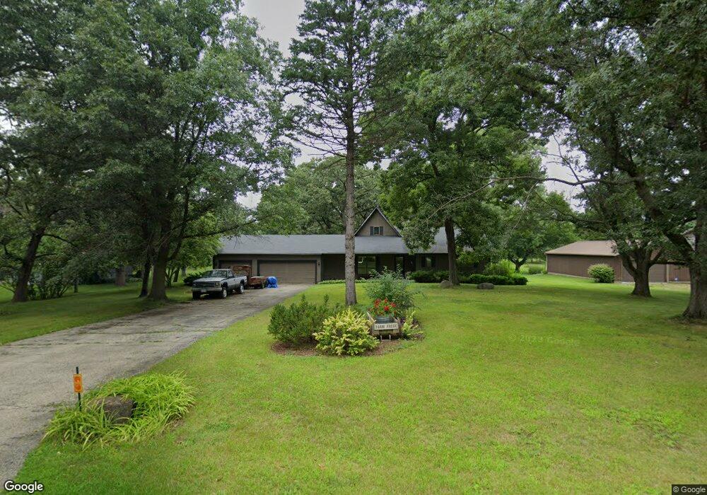
9712 Knolltop Rd Union, IL 60180
Riley NeighborhoodEstimated Value: $416,745 - $456,000
Studio
1
Bath
1,772
Sq Ft
$247/Sq Ft
Est. Value
About This Home
This home is located at 9712 Knolltop Rd, Union, IL 60180 and is currently estimated at $436,936, approximately $246 per square foot. 9712 Knolltop Rd is a home located in McHenry County with nearby schools including Leggee Elementary School, Heineman Middle School, and Huntley High School.
Ownership History
Date
Name
Owned For
Owner Type
Purchase Details
Closed on
Mar 1, 2002
Sold by
Munson Jeffrey L and Salerno Susan G
Bought by
Bein Dale and Bein Barbara
Current Estimated Value
Purchase Details
Closed on
Aug 15, 2000
Sold by
Adams Herbert P and Adams Sharon K
Bought by
Munson Jeffrey L and Munson Susan G
Home Financials for this Owner
Home Financials are based on the most recent Mortgage that was taken out on this home.
Original Mortgage
$193,000
Interest Rate
8.05%
Create a Home Valuation Report for This Property
The Home Valuation Report is an in-depth analysis detailing your home's value as well as a comparison with similar homes in the area
Home Values in the Area
Average Home Value in this Area
Purchase History
| Date | Buyer | Sale Price | Title Company |
|---|---|---|---|
| Bein Dale | $228,000 | Nlt Title Llc | |
| Munson Jeffrey L | $212,000 | -- |
Source: Public Records
Mortgage History
| Date | Status | Borrower | Loan Amount |
|---|---|---|---|
| Previous Owner | Munson Jeffrey L | $193,000 |
Source: Public Records
Tax History
| Year | Tax Paid | Tax Assessment Tax Assessment Total Assessment is a certain percentage of the fair market value that is determined by local assessors to be the total taxable value of land and additions on the property. | Land | Improvement |
|---|---|---|---|---|
| 2024 | $8,534 | $136,260 | $19,261 | $116,999 |
| 2023 | $8,413 | $123,223 | $17,418 | $105,805 |
| 2022 | $7,427 | $104,322 | $21,433 | $82,889 |
| 2021 | $7,185 | $98,370 | $20,210 | $78,160 |
| 2020 | $7,096 | $95,830 | $19,688 | $76,142 |
| 2019 | $6,842 | $91,686 | $18,837 | $72,849 |
| 2018 | $6,146 | $84,193 | $17,978 | $66,215 |
| 2017 | $6,149 | $81,260 | $17,352 | $63,908 |
| 2016 | $6,209 | $78,165 | $16,691 | $61,474 |
| 2013 | -- | $73,641 | $15,724 | $57,917 |
Source: Public Records
Map
Nearby Homes
- 9510 Knolltop Rd
- 9601 Mels Way
- 9618 Emily Ln
- 9617 Mels Way
- 9513 Mels Way
- 9404 Emily Ln
- 9314 Emily Ln
- 16214 Stacy Ln
- 16218 Stacy Ln
- 9604 Emily Ln
- 16309 Stacy Ln
- 9915 Henning Dr
- 9907 Henning Dr
- 10613 Pebble Dr
- 10208 Oakdale Dr
- 10304 Oakdale Dr
- 10019 Henning Dr
- 10410 Oakdale Dr
- 10108 Henning Dr
- 10208 Henning Dr
- 9620 Knolltop Rd
- 9718 Knolltop Rd
- 9715 Knolltop Rd
- 9719 Knolltop Rd
- 9611 Stacy Ln
- 9711 Knolltop Rd
- 9701 Knolltop Rd
- 9704 Stacy Ln
- 9612 Knolltop Rd
- 9710 Stacy Ln
- 9618 Stacy Ln
- 9612 Stacy Ln
- 9619 Knoll Top Rd
- 9619 Knolltop Rd Unit 2
- 9606 Knolltop Rd
- 9716 Stacy Ln
- 9804 Stacy Ln
- 9606 Stacy Ln
- 9611 Knolltop Rd
- 9813 Stacy Ln
Your Personal Tour Guide
Ask me questions while you tour the home.