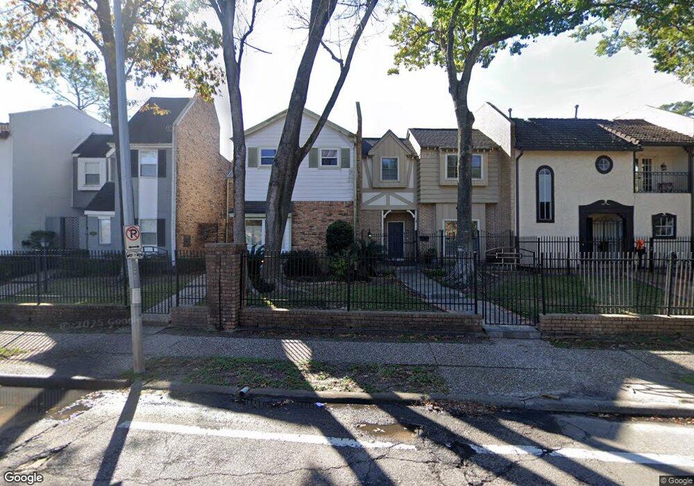
9715 Briar Forest Dr Houston, TX 77042
Mid West NeighborhoodEstimated Value: $148,000 - $323,857
2
Beds
3
Baths
2,248
Sq Ft
$123/Sq Ft
Est. Value
About This Home
This home is located at 9715 Briar Forest Dr, Houston, TX 77042 and is currently estimated at $276,714, approximately $123 per square foot. 9715 Briar Forest Dr is a home located in Harris County with nearby schools including Walnut Bend Elementary School, Paul Revere Middle School, and Westside High School.
Ownership History
Date
Name
Owned For
Owner Type
Purchase Details
Closed on
Dec 14, 2001
Sold by
Waddle Jerry M
Bought by
Witherspoon Ronnie and Witherspoon Carmen
Current Estimated Value
Home Financials for this Owner
Home Financials are based on the most recent Mortgage that was taken out on this home.
Original Mortgage
$123,000
Interest Rate
6.39%
Create a Home Valuation Report for This Property
The Home Valuation Report is an in-depth analysis detailing your home's value as well as a comparison with similar homes in the area
Home Values in the Area
Average Home Value in this Area
Purchase History
| Date | Buyer | Sale Price | Title Company |
|---|---|---|---|
| Witherspoon Ronnie | -- | First American Title |
Source: Public Records
Mortgage History
| Date | Status | Borrower | Loan Amount |
|---|---|---|---|
| Closed | Witherspoon Ronnie | $123,000 |
Source: Public Records
Tax History Compared to Growth
Tax History
| Year | Tax Paid | Tax Assessment Tax Assessment Total Assessment is a certain percentage of the fair market value that is determined by local assessors to be the total taxable value of land and additions on the property. | Land | Improvement |
|---|---|---|---|---|
| 2025 | $673 | $305,276 | $100,000 | $205,276 |
| 2024 | $673 | $309,224 | $100,000 | $209,224 |
| 2023 | $673 | $310,572 | $68,000 | $242,572 |
| 2022 | $5,897 | $267,814 | $68,000 | $199,814 |
| 2021 | $5,876 | $252,104 | $68,000 | $184,104 |
| 2020 | $6,613 | $273,078 | $68,000 | $205,078 |
| 2019 | $6,910 | $273,078 | $68,000 | $205,078 |
| 2018 | $2,556 | $267,419 | $68,000 | $199,419 |
| 2017 | $6,762 | $267,419 | $68,000 | $199,419 |
| 2016 | $6,762 | $267,419 | $68,000 | $199,419 |
| 2015 | $2,888 | $243,207 | $60,000 | $183,207 |
| 2014 | $2,888 | $235,382 | $60,000 | $175,382 |
Source: Public Records
Map
Nearby Homes
- 30 E Rivercrest Dr
- 9618 Bayou Brook St
- 2100 Tanglewilde St Unit 750
- 2100 Tanglewilde St Unit 169
- 2100 Tanglewilde St Unit 536
- 2100 Tanglewilde St Unit 402
- 2100 Tanglewilde St Unit 422
- 2100 Tanglewilde St Unit 625
- 2100 Tanglewilde St Unit 131
- 2100 Tanglewilde St Unit 455
- 2100 Tanglewilde St Unit 600
- 2100 Tanglewilde St Unit 299
- 2100 Tanglewilde St Unit 378
- 9632 Bayou Brook St
- 45 Bayou Pointe Dr
- 9620 Doliver Dr
- 9518 Bayou Brook St
- 45 Patti Lynn Ln
- 6 Gessner Rd
- 12 E Rivercrest Dr
- 9719 Briar Forest Dr
- 1506 S Gessner Rd
- 9711 Briar Forest Dr
- 9707 Briar Forest Dr
- 9723 Briar Forest Dr
- 9703 Briar Forest Dr
- 9727 Briar Forest Dr
- 1530 S Gessner Rd
- 1532 S Gessner Rd
- 1532 S S Gessner Rd
- 1528 S Gessner Rd
- 1518 S Gessner Rd
- 9731 Briar Forest Dr
- 1534 S Gessner Rd
- 1526 S Gessner Rd
- 1536 S Gessner Rd
- 1524 S Gessner Rd
- 1522 S Gessner Rd
- 1520 S Gessner Rd
- 54C Bayou Pointe Dr