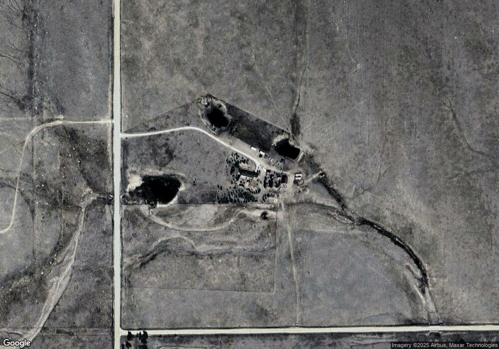
9715 Mulberry Rd Calhan, CO 80808
Estimated Value: $408,000 - $718,000
4
Beds
3
Baths
2,128
Sq Ft
$286/Sq Ft
Est. Value
About This Home
This home is located at 9715 Mulberry Rd, Calhan, CO 80808 and is currently estimated at $607,673, approximately $285 per square foot. 9715 Mulberry Rd is a home located in El Paso County with nearby schools including Miami/Yoder Elementary School and Miami-Yoder Middle - High School.
Ownership History
Date
Name
Owned For
Owner Type
Purchase Details
Closed on
Sep 17, 2020
Sold by
Kwande Devon Z and Kwande Alicia M
Bought by
Sabo Michael J
Current Estimated Value
Home Financials for this Owner
Home Financials are based on the most recent Mortgage that was taken out on this home.
Original Mortgage
$539,000
Outstanding Balance
$478,327
Interest Rate
2.9%
Mortgage Type
VA
Estimated Equity
$129,346
Purchase Details
Closed on
Sep 21, 2018
Sold by
Kitchen Joan
Bought by
Kwande Devon Z and Kwande Alicia M
Home Financials for this Owner
Home Financials are based on the most recent Mortgage that was taken out on this home.
Original Mortgage
$408,000
Interest Rate
4.5%
Mortgage Type
New Conventional
Purchase Details
Closed on
Nov 28, 1967
Bought by
Kitchen Lloyd A + Joan
Create a Home Valuation Report for This Property
The Home Valuation Report is an in-depth analysis detailing your home's value as well as a comparison with similar homes in the area
Home Values in the Area
Average Home Value in this Area
Purchase History
| Date | Buyer | Sale Price | Title Company |
|---|---|---|---|
| Sabo Michael J | $539,000 | First American Title | |
| Kwande Devon Z | $480,000 | Land Title Guarantee Co | |
| Kitchen Lloyd A + Joan | -- | -- |
Source: Public Records
Mortgage History
| Date | Status | Borrower | Loan Amount |
|---|---|---|---|
| Open | Sabo Michael J | $539,000 | |
| Previous Owner | Kwande Devon Z | $408,000 |
Source: Public Records
Tax History Compared to Growth
Tax History
| Year | Tax Paid | Tax Assessment Tax Assessment Total Assessment is a certain percentage of the fair market value that is determined by local assessors to be the total taxable value of land and additions on the property. | Land | Improvement |
|---|---|---|---|---|
| 2025 | $1,706 | $49,780 | -- | -- |
| 2024 | $1,668 | $46,440 | $2,240 | $44,200 |
| 2023 | $1,668 | $46,440 | $2,240 | $44,200 |
| 2022 | $1,460 | $37,810 | $2,190 | $35,620 |
| 2021 | $1,577 | $39,070 | $2,390 | $36,680 |
| 2020 | $913 | $21,620 | $2,310 | $19,310 |
| 2019 | $930 | $21,620 | $2,310 | $19,310 |
| 2018 | $726 | $16,110 | $2,220 | $13,890 |
| 2017 | $690 | $16,110 | $2,220 | $13,890 |
| 2016 | $663 | $15,360 | $2,130 | $13,230 |
| 2015 | $664 | $15,360 | $2,130 | $13,230 |
| 2014 | $814 | $14,360 | $2,000 | $12,360 |
Source: Public Records
Map
Nearby Homes
- Parcel B Hanisch Rd
- 34580 Hanisch Rd
- Parcel A Hanisch Rd
- 9545 N Yoder Rd
- 0 Nevins Point Unit 4032943
- 35800 Hanisch Rd
- 10095 Wagner Rd
- 10245 Wagner Rd
- 7252 Yoder Rd
- 7492 Yoder Rd Unit 34
- 36060 Hanisch Rd
- 36190 Hanisch Rd
- 0 Currier Rd
- Tract 1 Currier Rd
- Tract 2 Currier Rd
- 36290 Wagner Ln
- 36420 Wagner Ln