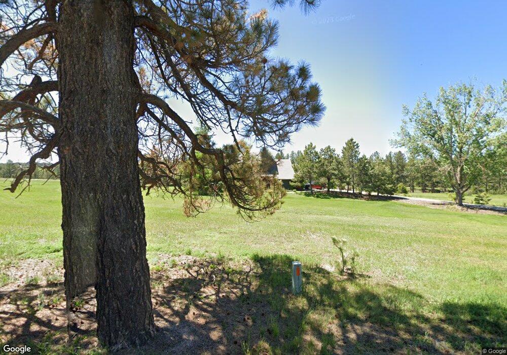
9716 Deerfield Rd Franktown, CO 80116
Estimated Value: $1,137,000 - $1,199,927
4
Beds
4
Baths
3,776
Sq Ft
$309/Sq Ft
Est. Value
About This Home
This home is located at 9716 Deerfield Rd, Franktown, CO 80116 and is currently estimated at $1,167,232, approximately $309 per square foot. 9716 Deerfield Rd is a home located in Douglas County with nearby schools including Franktown Elementary School, Sagewood Middle School, and Ponderosa High School.
Ownership History
Date
Name
Owned For
Owner Type
Purchase Details
Closed on
Sep 30, 2022
Sold by
Mayer Colin W
Bought by
Jolie Michael W and Jolie Penny E
Current Estimated Value
Home Financials for this Owner
Home Financials are based on the most recent Mortgage that was taken out on this home.
Original Mortgage
$936,500
Outstanding Balance
$895,124
Interest Rate
5.13%
Mortgage Type
New Conventional
Estimated Equity
$272,108
Purchase Details
Closed on
Nov 2, 2021
Sold by
Mcdonald Robert J and Mcdonald Janice B
Bought by
Mayer Colin Wade and Mayer Sara Chance
Home Financials for this Owner
Home Financials are based on the most recent Mortgage that was taken out on this home.
Original Mortgage
$709,800
Interest Rate
2.88%
Mortgage Type
VA
Purchase Details
Closed on
Apr 1, 2005
Sold by
Deutsche Bank National Trust Co
Bought by
Mcdonald Robert J and Mcdonald Janice B
Home Financials for this Owner
Home Financials are based on the most recent Mortgage that was taken out on this home.
Original Mortgage
$285,000
Interest Rate
6.06%
Mortgage Type
Fannie Mae Freddie Mac
Purchase Details
Closed on
Mar 2, 2005
Sold by
Burton Karen
Bought by
Deutsche Bank National Trust Co
Home Financials for this Owner
Home Financials are based on the most recent Mortgage that was taken out on this home.
Original Mortgage
$285,000
Interest Rate
6.06%
Mortgage Type
Fannie Mae Freddie Mac
Purchase Details
Closed on
Sep 4, 2003
Sold by
Bratton Dwight M and Bratton Jeanette
Bought by
Burton Karen
Home Financials for this Owner
Home Financials are based on the most recent Mortgage that was taken out on this home.
Original Mortgage
$490,500
Interest Rate
6.9%
Mortgage Type
Unknown
Purchase Details
Closed on
Jun 9, 1986
Sold by
Hartman Robert E Inc
Bought by
Bratton Dwight M and Bratton Jean
Purchase Details
Closed on
Jan 31, 1985
Sold by
Steele Jerry L and Steele Joyce A
Bought by
Hartman Robert E Inc
Purchase Details
Closed on
Oct 2, 1981
Sold by
Unavailable
Bought by
Unavailable
Create a Home Valuation Report for This Property
The Home Valuation Report is an in-depth analysis detailing your home's value as well as a comparison with similar homes in the area
Home Values in the Area
Average Home Value in this Area
Purchase History
| Date | Buyer | Sale Price | Title Company |
|---|---|---|---|
| Jolie Michael W | $1,180,000 | -- | |
| Mayer Colin Wade | $975,000 | Homestead Title & Escrow | |
| Mcdonald Robert J | $476,000 | -- | |
| Deutsche Bank National Trust Co | -- | -- | |
| Burton Karen | $545,000 | -- | |
| Bratton Dwight M | $208,000 | -- | |
| Hartman Robert E Inc | $38,000 | -- | |
| Unavailable | $30,900 | -- |
Source: Public Records
Mortgage History
| Date | Status | Borrower | Loan Amount |
|---|---|---|---|
| Open | Jolie Michael W | $936,500 | |
| Previous Owner | Mayer Colin Wade | $709,800 | |
| Previous Owner | Mcdonald Robert J | $285,000 | |
| Previous Owner | Burton Karen | $490,500 | |
| Closed | Burton Karen | $27,250 |
Source: Public Records
Tax History Compared to Growth
Tax History
| Year | Tax Paid | Tax Assessment Tax Assessment Total Assessment is a certain percentage of the fair market value that is determined by local assessors to be the total taxable value of land and additions on the property. | Land | Improvement |
|---|---|---|---|---|
| 2024 | $6,182 | $75,410 | $35,980 | $39,430 |
| 2023 | $6,251 | $75,410 | $35,980 | $39,430 |
| 2022 | $3,977 | $47,500 | $24,510 | $22,990 |
| 2021 | $3,519 | $47,500 | $24,510 | $22,990 |
| 2020 | $3,438 | $47,690 | $23,430 | $24,260 |
| 2019 | $3,454 | $47,690 | $23,430 | $24,260 |
| 2018 | $2,956 | $41,280 | $19,210 | $22,070 |
| 2017 | $2,753 | $41,280 | $19,210 | $22,070 |
| 2016 | $2,576 | $39,220 | $17,480 | $21,740 |
| 2015 | $3,303 | $39,220 | $17,480 | $21,740 |
| 2014 | $2,758 | $30,600 | $10,530 | $20,070 |
Source: Public Records
Map
Nearby Homes
- 9142 Warriors Mark Dr
- 9162 Warriors Mark Dr
- 10525 Wild Fox Place
- 8987 Village Pines Cir
- 230 S Big Meadow Trail
- 1750 Arrowpoint Ct
- 1721 Arrowpoint Ct
- 1724 Arrowpoint Ct
- 720 N Bluff Dr
- 1730 Ward Cir
- 8788 E Tanglewood Rd
- 1579 Deerpath Rd
- 11008 Sunset Oaks Place
- 11011 Sunset Oaks
- 11044 Conestoga Place
- 11584 E State Highway 86
- 104 Bill Davis Rd
- 2231 Meadow Green Cir
- 2218 Deerpath Rd
- 2219 Meadow Green Cir
- 9812 Deerfield Rd
- 262 Fallow Deer Rd
- 9634 Deerfield Rd
- 28 S White Tail Dr
- 172 Fallow Deer Rd
- 180 Red Deer Rd
- 200 Red Deer Rd
- 9541 Roe Cir
- 9975 Deerfield Rd
- 0 E Deerfield Rd Unit 1121487
- 9920 Deerfield Rd
- 9542 Roe Cir
- 323 Fallow Deer Rd
- 57 S White Tail Dr
- 236 Red Deer Rd
- 77 Fallow Deer Rd
- 74 S White Tail Dr
- 9415 Deerfield Rd
- 9270 Deerfield Rd
- 10024 Deerfield Rd