9716 Mount Tabor Rd Middletown, MD 21769
Estimated Value: $814,221 - $1,251,000
--
Bed
3
Baths
3,152
Sq Ft
$328/Sq Ft
Est. Value
About This Home
This home is located at 9716 Mount Tabor Rd, Middletown, MD 21769 and is currently estimated at $1,034,305, approximately $328 per square foot. 9716 Mount Tabor Rd is a home located in Frederick County with nearby schools including Myersville Elementary School, Middletown Middle School, and Middletown High School.
Ownership History
Date
Name
Owned For
Owner Type
Purchase Details
Closed on
Nov 7, 2007
Sold by
Thompson David M and Thompson Dana M
Bought by
David M Thompson Rev Trust
Current Estimated Value
Purchase Details
Closed on
Nov 5, 2007
Sold by
Thompson David M and Thompson Dana M
Bought by
David M Thompson Rev Trust
Purchase Details
Closed on
Apr 6, 1998
Sold by
Hotz Robert B and Hotz Joan W
Bought by
Thompson David M and Thompson Dana M
Create a Home Valuation Report for This Property
The Home Valuation Report is an in-depth analysis detailing your home's value as well as a comparison with similar homes in the area
Home Values in the Area
Average Home Value in this Area
Purchase History
| Date | Buyer | Sale Price | Title Company |
|---|---|---|---|
| David M Thompson Rev Trust | -- | -- | |
| David M Thompson Rev Trust | -- | -- | |
| Thompson David M | $82,000 | -- |
Source: Public Records
Mortgage History
| Date | Status | Borrower | Loan Amount |
|---|---|---|---|
| Closed | Thompson David M | -- |
Source: Public Records
Tax History Compared to Growth
Tax History
| Year | Tax Paid | Tax Assessment Tax Assessment Total Assessment is a certain percentage of the fair market value that is determined by local assessors to be the total taxable value of land and additions on the property. | Land | Improvement |
|---|---|---|---|---|
| 2025 | $8,082 | $722,567 | -- | -- |
| 2024 | $8,082 | $672,433 | $0 | $0 |
| 2023 | $7,375 | $622,300 | $127,300 | $495,000 |
| 2022 | $7,146 | $602,567 | $0 | $0 |
| 2021 | $6,688 | $582,833 | $0 | $0 |
| 2020 | $6,688 | $563,100 | $117,300 | $445,800 |
| 2019 | $6,557 | $551,867 | $0 | $0 |
| 2018 | $6,484 | $540,633 | $0 | $0 |
| 2017 | $6,296 | $529,400 | $0 | $0 |
| 2016 | $7,039 | $517,767 | $0 | $0 |
| 2015 | $7,039 | $506,133 | $0 | $0 |
| 2014 | $7,039 | $494,500 | $0 | $0 |
Source: Public Records
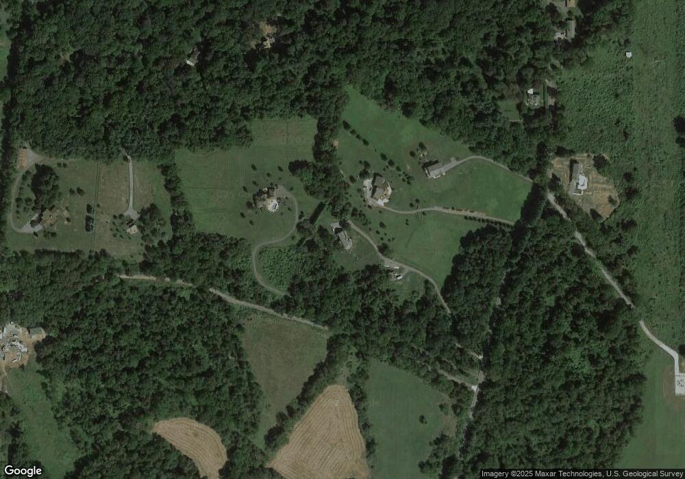
Map
Nearby Homes
- 2820 Milt Summers Rd
- 2710A Monument Rd
- 10433 Grindstone Run Rd
- 218 Mountain Terrace
- 2763 Flintridge Dr
- 2703 Meadowridge Ct
- 3 Poplar St
- 33 Fox Rock Dr
- 421 Main St
- 14 Deerwoods Ct
- 3101 Brethren Church Rd
- 55 Fox Rock Dr
- Lot 1 Wolfsville Rd
- Lot 2 Wolfsville Rd
- 10306 Church Hill Rd
- 6408 Zittlestown Rd
- 10444 Church Hill Rd
- 6346 Zittlestown Rd
- 8580 Mansfield Ct
- 3217 Ward Kline Rd
- 9722 Mount Tabor Rd
- 9710 Mount Tabor Rd
- 9728 Mount Tabor Rd
- 9811 Mount Tabor Rd
- 2347 Michael Rd
- 1 Mt Tabor Rd
- 4 Mt Tabor Rd
- 2317 Michael Rd
- 9813 Mount Tabor Rd
- 2315 Michael Rd
- 2343 Michael Rd
- 9835 Mount Tabor Rd
- 9702 Mount Tabor Rd
- 2303 Michael Rd
- 9839 Mount Tabor Rd
- 9903 Mount Tabor Rd
- 9944 Mount Tabor Rd
- 9907 Mount Tabor Rd
- 0 Mt Tabor Unit 1000136378
- 0 Mt Tabor Unit 1006710290