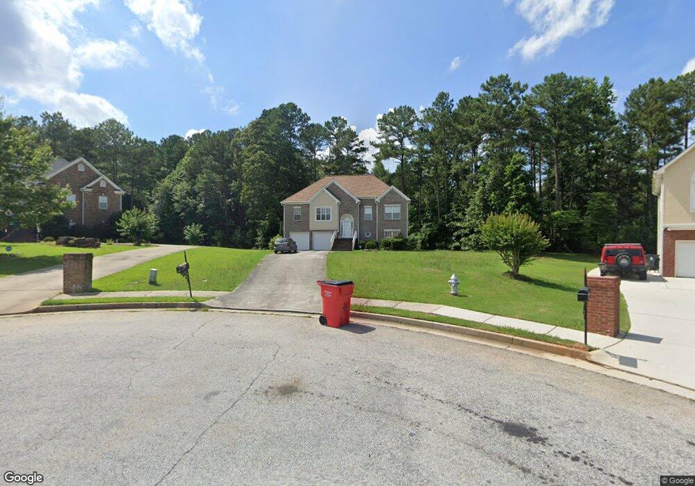
9717 Brookshire Dr Jonesboro, GA 30238
Estimated Value: $310,482 - $338,000
4
Beds
3
Baths
2,473
Sq Ft
$133/Sq Ft
Est. Value
About This Home
This home is located at 9717 Brookshire Dr, Jonesboro, GA 30238 and is currently estimated at $328,371, approximately $132 per square foot. 9717 Brookshire Dr is a home located in Clayton County with nearby schools including Brown Elementary School, Mundys Mill Middle School, and Mundy's Mill High School.
Ownership History
Date
Name
Owned For
Owner Type
Purchase Details
Closed on
Oct 27, 2016
Sold by
Lhp Ivestments Inc
Bought by
Pritchett Nicole C and Carter Joytoya M
Current Estimated Value
Home Financials for this Owner
Home Financials are based on the most recent Mortgage that was taken out on this home.
Original Mortgage
$185,000
Outstanding Balance
$148,523
Interest Rate
3.42%
Mortgage Type
VA
Estimated Equity
$179,848
Purchase Details
Closed on
Aug 2, 2016
Sold by
Sammie
Bought by
Lhp Ivestments Inc
Purchase Details
Closed on
Dec 18, 2002
Sold by
Luke David C
Bought by
Hackworth Sammie A
Home Financials for this Owner
Home Financials are based on the most recent Mortgage that was taken out on this home.
Original Mortgage
$181,150
Interest Rate
6.07%
Mortgage Type
VA
Create a Home Valuation Report for This Property
The Home Valuation Report is an in-depth analysis detailing your home's value as well as a comparison with similar homes in the area
Home Values in the Area
Average Home Value in this Area
Purchase History
| Date | Buyer | Sale Price | Title Company |
|---|---|---|---|
| Pritchett Nicole C | $185,000 | -- | |
| Lhp Ivestments Inc | -- | -- | |
| Hackworth Sammie A | $175,900 | -- |
Source: Public Records
Mortgage History
| Date | Status | Borrower | Loan Amount |
|---|---|---|---|
| Open | Pritchett Nicole C | $185,000 | |
| Previous Owner | Hackworth Sammie A | $181,150 |
Source: Public Records
Tax History Compared to Growth
Tax History
| Year | Tax Paid | Tax Assessment Tax Assessment Total Assessment is a certain percentage of the fair market value that is determined by local assessors to be the total taxable value of land and additions on the property. | Land | Improvement |
|---|---|---|---|---|
| 2024 | $3,752 | $105,200 | $9,600 | $95,600 |
| 2023 | $3,663 | $101,440 | $9,600 | $91,840 |
| 2022 | $3,484 | $97,800 | $9,600 | $88,200 |
| 2021 | $3,089 | $87,240 | $9,600 | $77,640 |
| 2020 | $2,972 | $83,366 | $9,600 | $73,766 |
| 2019 | $3,065 | $84,559 | $10,000 | $74,559 |
| 2018 | $3,442 | $83,858 | $10,000 | $73,858 |
| 2017 | $38 | $74,000 | $10,000 | $64,000 |
| 2016 | $170 | $79,894 | $10,000 | $69,894 |
| 2015 | $387 | $0 | $0 | $0 |
| 2014 | $434 | $77,505 | $10,000 | $67,505 |
Source: Public Records
Map
Nearby Homes
- 1506 Mundys Mill Rd
- 9786 Hurston Way
- 6637 Chason Woods Ct
- 709 Willow Bend Dr
- 9959 Point View Dr
- 770 Four Winds Ln
- 1131 Orr Rd
- 439 Windy Ct
- 443 Windy Ct
- 447 Windy Ct
- 9573 Briar Creek Ct
- 9381 Windward Ct
- 9997 Point View Dr
- 10044 Point View Dr
- 1254 Meadowbrook Drive Unit#179
- 1255 Riverstone Rd Lot 169
- 9464 Briarwood Ln Unit 157
- 9464 Briarwood Ln
- 9469 Briarwood Ln
- 9468 Briarwood Ln
- 9717 Brookshire Dr
- 9721 Brookshire Dr
- 9716 Brookshire Dr
- 9727 Brookshire Dr
- 9720 Brookshire Dr
- 9735 Brookshire Dr
- 9724 Brookshire Dr
- 9732 Brookshire Dr
- 9743 Brookshire Dr
- 9740 Brookshire Dr
- 9720 Brown Rd
- 9751 Brookshire Dr
- 9748 Brookshire Dr
- 0 Brookshire SE
- 9680 Brown Rd
- 9700 Brown Rd
- 0 Brookshire Dr Unit 3157817
- 0 Brookshire Dr Unit 8885648
- 0 Brookshire Dr Unit 8069754
- 0 Brookshire Dr