9717 Highway 10 Bismarck, ND 58501
Estimated Value: $625,000 - $865,882
4
Beds
--
Bath
2,528
Sq Ft
$287/Sq Ft
Est. Value
About This Home
This home is located at 9717 Highway 10, Bismarck, ND 58501 and is currently estimated at $724,294, approximately $286 per square foot. 9717 Highway 10 is a home located in Burleigh County with nearby schools including Rita Murphy Elementary School, Simle Middle School, and Legacy High School.
Ownership History
Date
Name
Owned For
Owner Type
Purchase Details
Closed on
Feb 17, 2023
Sold by
Kna Holdings Llp
Bought by
Feser Daniel
Current Estimated Value
Purchase Details
Closed on
Jun 1, 2015
Sold by
Betlaf Rick and Betlaf Karin
Bought by
Upgren Robert A and Upgren Shaunna M
Home Financials for this Owner
Home Financials are based on the most recent Mortgage that was taken out on this home.
Original Mortgage
$300,000
Interest Rate
3.64%
Mortgage Type
New Conventional
Purchase Details
Closed on
Oct 27, 2010
Sold by
Boustead Darlene
Bought by
Betlaf Rick and Betlaf Karin
Create a Home Valuation Report for This Property
The Home Valuation Report is an in-depth analysis detailing your home's value as well as a comparison with similar homes in the area
Purchase History
| Date | Buyer | Sale Price | Title Company |
|---|---|---|---|
| Feser Daniel | $276,250 | Bismarck Title | |
| Upgren Robert A | -- | None Available | |
| Betlaf Rick | $180,000 | -- |
Source: Public Records
Mortgage History
| Date | Status | Borrower | Loan Amount |
|---|---|---|---|
| Previous Owner | Upgren Robert A | $300,000 |
Source: Public Records
Tax History
| Year | Tax Paid | Tax Assessment Tax Assessment Total Assessment is a certain percentage of the fair market value that is determined by local assessors to be the total taxable value of land and additions on the property. | Land | Improvement |
|---|---|---|---|---|
| 2025 | $4,823 | $330,800 | $0 | $0 |
| 2024 | $4,715 | $308,300 | $0 | $0 |
| 2023 | $4,346 | $285,300 | $0 | $0 |
| 2022 | $3,667 | $263,700 | $0 | $0 |
| 2021 | $3,844 | $253,550 | $0 | $0 |
| 2020 | $3,453 | $216,200 | $0 | $0 |
| 2019 | $3,490 | $216,200 | $0 | $0 |
| 2018 | $3,194 | $216,200 | $19,850 | $196,350 |
| 2017 | $2,782 | $202,300 | $182,450 | $19,850 |
| 2016 | $2,782 | $202,300 | $19,850 | $182,450 |
| 2014 | $241 | $344,500 | $39,700 | $304,800 |
Source: Public Records
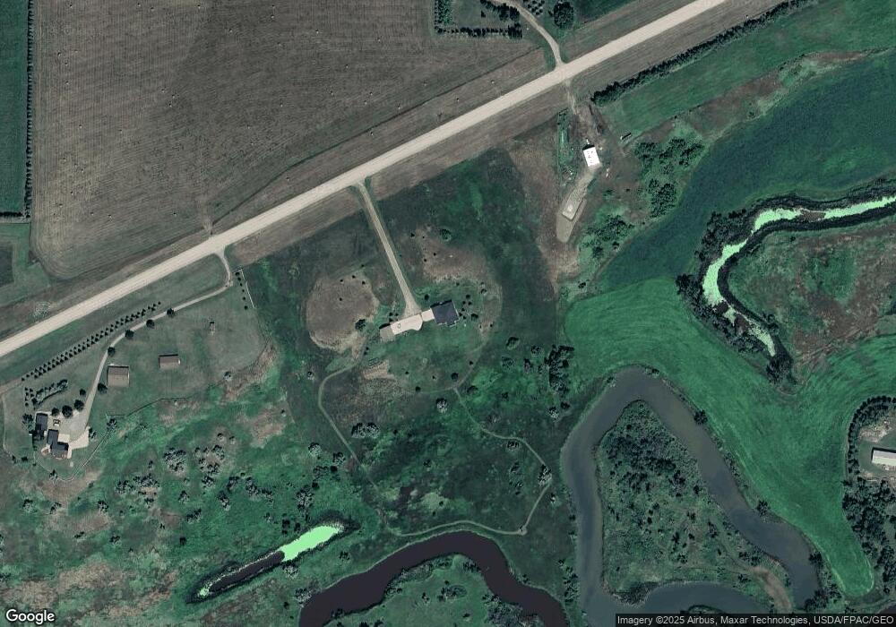
Map
Nearby Homes
- 118 Fairway Ct
- 8815 Range Place
- 8727 Range Place
- 8823 Range Place
- 8839 Range Place
- 8726 Range Place
- 8822 Range Place
- 8831 Range Place
- 8718 Range Place
- 8734 Range Place
- 8807 Range Place
- 8830 Range Place
- 8814 Range Place
- 8806 Range Place
- 8735 Range Place
- 11331 Pauls Dr
- 11313 Creek Top Rd
- 11325 Creek Top Rd
- 806 Apple Ridge Rd
- 716 Apple Ridge Rd
- 9819 Highway 10
- 9950 Highway 10
- 9900 5th Ave NE
- 9701 Highway 10
- 9701 Hwy 10
- 10051 Highway 10
- 817 93rd St NE
- 9125 Apple Valley Dr
- 10053 Highway 10
- 9115 Apple Valley Dr
- 9113 Apple Valley Dr
- 9105 Apple Valley Dr
- 1211 93rd St NE
- 9103 Apple Valley Dr
- 9033 Apple Valley Dr
- 9031 Apple Valley Dr
- 9023 Apple Valley Dr
- 10150 Highway 10
- 9021 Apple Valley Dr
- 10201 Highway 10
Your Personal Tour Guide
Ask me questions while you tour the home.