9717 Lancaster Hwy Waxhaw, NC 28173
Estimated Value: $686,000 - $1,224,745
4
Beds
4
Baths
4,471
Sq Ft
$212/Sq Ft
Est. Value
About This Home
This home is located at 9717 Lancaster Hwy, Waxhaw, NC 28173 and is currently estimated at $947,936, approximately $212 per square foot. 9717 Lancaster Hwy is a home located in Union County with nearby schools including Waxhaw Elementary School, Parkwood Middle School, and Parkwood High School.
Ownership History
Date
Name
Owned For
Owner Type
Purchase Details
Closed on
Sep 16, 2016
Sold by
Wayne John W and Wayne Brenda C
Bought by
Schevikhoven Eric and Schevikhoven Lori
Current Estimated Value
Home Financials for this Owner
Home Financials are based on the most recent Mortgage that was taken out on this home.
Original Mortgage
$640,000
Outstanding Balance
$480,678
Interest Rate
3.43%
Mortgage Type
New Conventional
Estimated Equity
$467,258
Create a Home Valuation Report for This Property
The Home Valuation Report is an in-depth analysis detailing your home's value as well as a comparison with similar homes in the area
Home Values in the Area
Average Home Value in this Area
Purchase History
| Date | Buyer | Sale Price | Title Company |
|---|---|---|---|
| Schevikhoven Eric | $800,000 | None Available |
Source: Public Records
Mortgage History
| Date | Status | Borrower | Loan Amount |
|---|---|---|---|
| Open | Schevikhoven Eric | $640,000 |
Source: Public Records
Tax History Compared to Growth
Tax History
| Year | Tax Paid | Tax Assessment Tax Assessment Total Assessment is a certain percentage of the fair market value that is determined by local assessors to be the total taxable value of land and additions on the property. | Land | Improvement |
|---|---|---|---|---|
| 2025 | $5,617 | $1,173,100 | $0 | $0 |
| 2024 | $4,393 | $688,300 | $201,700 | $486,600 |
| 2023 | $4,322 | $688,300 | $201,700 | $486,600 |
| 2022 | $4,322 | $688,300 | $201,700 | $486,600 |
| 2021 | $4,245 | $688,300 | $201,700 | $486,600 |
| 2020 | $3,852 | $393,010 | $37,910 | $355,100 |
| 2019 | $2,972 | $393,010 | $37,910 | $355,100 |
| 2018 | $2,972 | $393,010 | $37,910 | $355,100 |
| 2017 | $3,169 | $393,000 | $37,900 | $355,100 |
| 2016 | $3,074 | $393,010 | $37,910 | $355,100 |
| 2015 | $3,115 | $393,010 | $37,910 | $355,100 |
| 2014 | $2,589 | $379,940 | $77,570 | $302,370 |
Source: Public Records
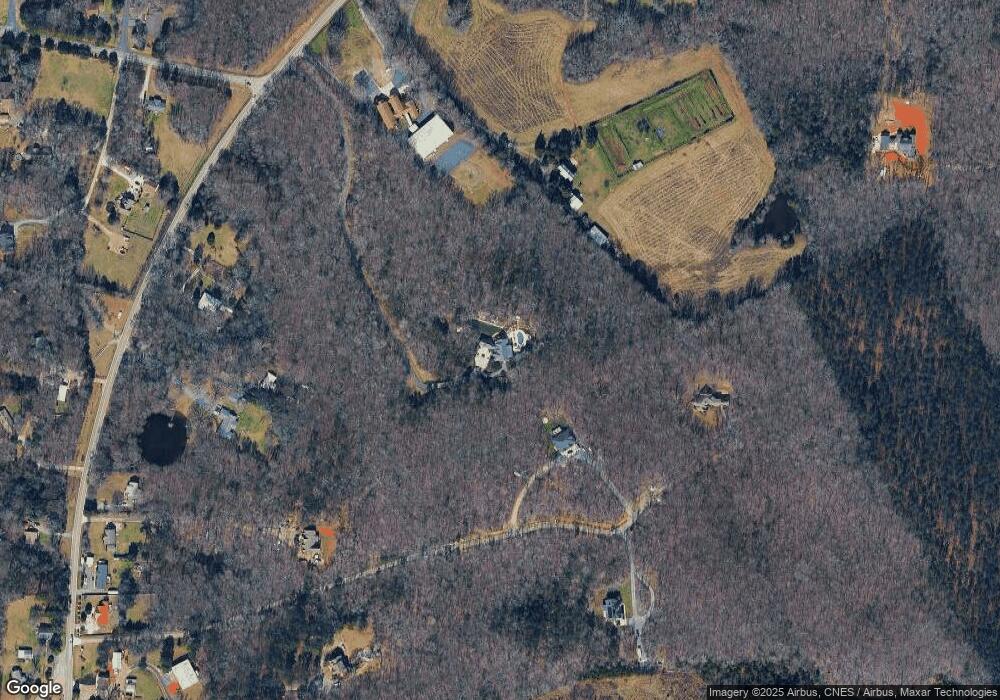
Map
Nearby Homes
- 8824 Simpson Rd
- 9315 Simpson Rd
- 1003 Cane Manor Ct Unit 5
- 1006 Cane Manor Ct Unit 7
- 1009 Cane Manor Ct Unit 3
- 1010 Cane Manor Ct Unit 8
- 1005 Cane Manor Ct Unit 4
- 0 Huey Rd Unit 10,11 CAR4222944
- TBD Steele Rd Unit 5
- 8709 Providence Rd S Unit 2
- 6405 Fawn Crest Dr
- 9404 S Providence Rd
- 1017 S Oakshire Ln Unit 5
- 1016 S Oakshire Ln Unit 6
- 7827 Walkup Rd
- Lot 2 Country Estates Dr
- Lot 4 Country Estates Dr
- Lot 1 Country Estates Dr
- 1013 S Oakshire Ln Unit 4
- Lot 3 Country Estates Dr
- 9705 Lancaster Hwy
- 9943 Lancaster Hwy
- 9825 Lancaster Hwy
- 9919 Lancaster Hwy
- 9911 Lancaster Hwy
- 9819 Lancaster Hwy
- 9925 Lancaster Hwy
- 9913 Lancaster Hwy
- 8809 Crossbow Ln
- 7706 Davis Rd
- 9917 Lancaster Hwy
- 9921 Lancaster Hwy Unit 2
- 9908 Lancaster Hwy
- 5 Lancaster Hwy
- 4 Lancaster Hwy
- 2 Lancaster Hwy
- 00 Lancaster Hwy
- 00 Lancaster Hwy None
- 0000-7 Lancaster Hwy
- 0000-6 Lancaster Hwy