Estimated Value: $472,891 - $512,000
3
Beds
2
Baths
1,200
Sq Ft
$415/Sq Ft
Est. Value
About This Home
This home is located at 9718 Ashbourn Dr, Burke, VA 22015 and is currently estimated at $497,473, approximately $414 per square foot. 9718 Ashbourn Dr is a home located in Fairfax County with nearby schools including Kings Park Elementary School, Kings Glen Elementary School, and Lake Braddock Secondary School.
Ownership History
Date
Name
Owned For
Owner Type
Purchase Details
Closed on
Sep 26, 2016
Sold by
Tellez Purisima
Bought by
Tellez Freddt
Current Estimated Value
Purchase Details
Closed on
Apr 27, 2001
Sold by
Connor Michael
Bought by
Tellez Purisima
Home Financials for this Owner
Home Financials are based on the most recent Mortgage that was taken out on this home.
Original Mortgage
$128,981
Outstanding Balance
$47,626
Interest Rate
6.88%
Estimated Equity
$449,847
Create a Home Valuation Report for This Property
The Home Valuation Report is an in-depth analysis detailing your home's value as well as a comparison with similar homes in the area
Home Values in the Area
Average Home Value in this Area
Purchase History
| Date | Buyer | Sale Price | Title Company |
|---|---|---|---|
| Tellez Freddt | -- | None Available | |
| Tellez Purisima | $130,000 | -- |
Source: Public Records
Mortgage History
| Date | Status | Borrower | Loan Amount |
|---|---|---|---|
| Open | Tellez Purisima | $128,981 |
Source: Public Records
Tax History
| Year | Tax Paid | Tax Assessment Tax Assessment Total Assessment is a certain percentage of the fair market value that is determined by local assessors to be the total taxable value of land and additions on the property. | Land | Improvement |
|---|---|---|---|---|
| 2025 | $4,603 | $452,900 | $200,000 | $252,900 |
| 2024 | $4,603 | $397,350 | $170,000 | $227,350 |
| 2023 | $4,365 | $386,820 | $170,000 | $216,820 |
| 2022 | $4,130 | $361,130 | $150,000 | $211,130 |
| 2021 | $4,051 | $345,240 | $140,000 | $205,240 |
| 2020 | $3,826 | $323,280 | $138,000 | $185,280 |
| 2019 | $3,430 | $289,790 | $115,000 | $174,790 |
| 2018 | $3,333 | $289,790 | $115,000 | $174,790 |
| 2017 | $3,230 | $278,210 | $105,000 | $173,210 |
| 2016 | $3,067 | $264,780 | $95,000 | $169,780 |
Source: Public Records
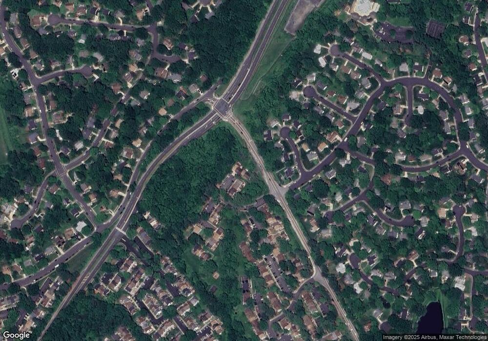
Map
Nearby Homes
- 5342 Guinea Rd
- 5502 Peppercorn Dr
- 9604 Glenarm Ct
- 5552 Peppercorn Dr
- 9752 High Water Ct
- 9532 Burdett Rd
- 5601 Castlebury Ct
- 9502 Wallingford Dr
- 5635 Sutherland Ct
- 9438 Wallingford Dr
- 9984 Whitewater Dr
- 5122 Pommeroy Dr
- 5406 Midship Ct
- 5482 Midship Ct
- 5078 Twinbrook Run Dr
- 5460 Truxion Ct
- 5105 Coleridge Dr
- 9928 Wood Wren Ct
- 9315 Winbourne Rd
- 5037 Head Ct
- 9720 Ashbourn Dr
- 9716 Ashbourn Dr
- 9714 Ashbourn Dr
- 9722 Ashbourn Dr
- 9710 Ashbourn Dr
- 9712 Ashbourn Dr
- 9708 Ashbourn Dr
- 9706 Ashbourn Dr
- 9704 Ashbourn Dr
- 9702 Ashbourn Dr
- 9700 Ashbourn Dr
- 9701 Ashbourn Dr
- 5304 Crown Point Rd
- 5306 Crown Point Rd
- 5302 Crown Point Rd
- 5401 Crossrail Dr
- 9703 Ashbourn Dr
- 5308 Crown Point Rd
- 9705 Ashbourn Dr
- 5349 Guinea Rd
Your Personal Tour Guide
Ask me questions while you tour the home.