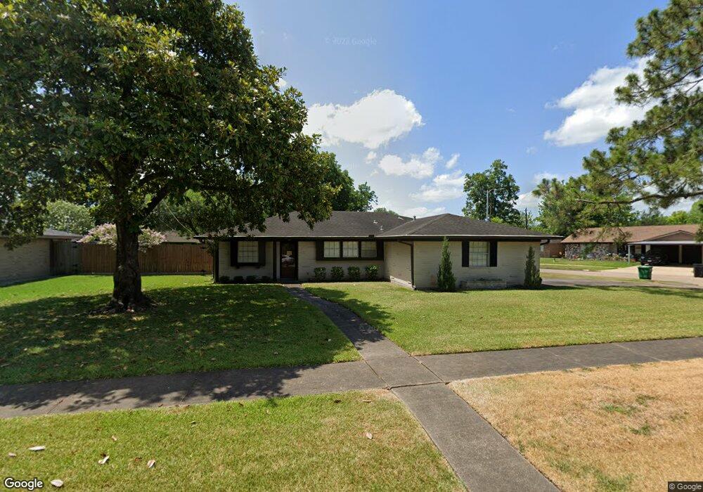
9718 Southport Dr Houston, TX 77089
Southbelt-Ellington NeighborhoodEstimated Value: $236,000 - $267,000
3
Beds
2
Baths
1,524
Sq Ft
$163/Sq Ft
Est. Value
About This Home
This home is located at 9718 Southport Dr, Houston, TX 77089 and is currently estimated at $247,762, approximately $162 per square foot. 9718 Southport Dr is a home located in Harris County with nearby schools including Atkinson Elementary School, Beverly Hill Intermediate School, and Morris Middle School.
Ownership History
Date
Name
Owned For
Owner Type
Purchase Details
Closed on
Nov 2, 2015
Sold by
Fischer Lisa A
Bought by
Ankenbruck David and Ankenbruck Joel
Current Estimated Value
Purchase Details
Closed on
Sep 15, 2009
Sold by
Schulte Melvin and Schulte Thelma
Bought by
Ankenbruck Victor B and Ankenbruck Faye M
Create a Home Valuation Report for This Property
The Home Valuation Report is an in-depth analysis detailing your home's value as well as a comparison with similar homes in the area
Home Values in the Area
Average Home Value in this Area
Purchase History
| Date | Buyer | Sale Price | Title Company |
|---|---|---|---|
| Ankenbruck David | -- | Stewart Title | |
| Ankenbruck Victor B | -- | Stewart Title Houston Div |
Source: Public Records
Tax History Compared to Growth
Tax History
| Year | Tax Paid | Tax Assessment Tax Assessment Total Assessment is a certain percentage of the fair market value that is determined by local assessors to be the total taxable value of land and additions on the property. | Land | Improvement |
|---|---|---|---|---|
| 2025 | $5,515 | $216,455 | $56,438 | $160,017 |
| 2024 | $5,515 | $219,860 | $56,438 | $163,422 |
| 2023 | $5,142 | $219,860 | $56,438 | $163,422 |
| 2022 | $5,026 | $196,325 | $56,438 | $139,887 |
| 2021 | $4,573 | $170,220 | $41,388 | $128,832 |
| 2020 | $4,487 | $163,680 | $41,388 | $122,292 |
| 2019 | $4,719 | $163,680 | $31,981 | $131,699 |
| 2018 | $1,792 | $127,738 | $28,971 | $98,767 |
| 2017 | $3,518 | $127,738 | $28,971 | $98,767 |
| 2016 | $3,263 | $118,466 | $28,971 | $89,495 |
| 2015 | $2,790 | $105,887 | $20,694 | $85,193 |
| 2014 | $2,790 | $99,534 | $20,694 | $78,840 |
Source: Public Records
Map
Nearby Homes
- 9711 Ebb St
- 9743 Santa Monica Blvd
- 11303 Caribbean Ln
- 11311 Caribbean Ln
- 9407 Kingspass St
- 10906 Keese Dr
- 9411 Kingsvalley St
- 10906 Stover St
- 10018 Ramey St
- 10406 Sagestar Ln
- 11414 Kirkwyn Dr
- 9303 Kingsflower Cir
- 10410 Sagestar Ln
- 9914 Sumerlin St
- 10411 Sagewillow Ln
- 9115 Kingsrose Ln
- 10415 Sagewillow Ln
- 10815 Ritow St
- 9039 Kirkland Dr
- 9721 Foredale St
- 9722 Southport Dr
- 9703 Ebb St
- 9726 Southport Dr
- 11210 Newton St
- 11214 Newton St
- 9707 Ebb St
- 11206 Newton St
- 11218 Newton St
- 9715 Southport Dr
- 9730 Southport Dr
- 9719 Southport Dr
- 9711 Southport Dr
- 9723 Southport Dr
- 11222 Newton St
- 11202 Newton St
- 9727 Southport Dr
- 9734 Southport Dr
- 9707 Southport Dr
- 9731 Southport Dr
- 9702 Ebb St