Estimated Value: $537,000 - $582,000
3
Beds
4
Baths
1,800
Sq Ft
$311/Sq Ft
Est. Value
About This Home
This home is located at 9719 Ashbourn Dr, Burke, VA 22015 and is currently estimated at $559,029, approximately $310 per square foot. 9719 Ashbourn Dr is a home located in Fairfax County with nearby schools including Kings Park Elementary School, Kings Glen Elementary School, and Lake Braddock Secondary School.
Ownership History
Date
Name
Owned For
Owner Type
Purchase Details
Closed on
Jun 24, 2011
Sold by
Brady Dian M
Bought by
Villarroel Fernando
Current Estimated Value
Home Financials for this Owner
Home Financials are based on the most recent Mortgage that was taken out on this home.
Original Mortgage
$268,028
Outstanding Balance
$184,686
Interest Rate
4.62%
Mortgage Type
FHA
Estimated Equity
$374,343
Purchase Details
Closed on
Dec 14, 1998
Sold by
Terrell Phillip M
Bought by
Brady Dian M
Home Financials for this Owner
Home Financials are based on the most recent Mortgage that was taken out on this home.
Original Mortgage
$102,147
Interest Rate
6.8%
Purchase Details
Closed on
Oct 15, 1996
Sold by
Lee Kyung S
Bought by
Pak Tak K
Create a Home Valuation Report for This Property
The Home Valuation Report is an in-depth analysis detailing your home's value as well as a comparison with similar homes in the area
Home Values in the Area
Average Home Value in this Area
Purchase History
| Date | Buyer | Sale Price | Title Company |
|---|---|---|---|
| Villarroel Fernando | $275,000 | -- | |
| Brady Dian M | $103,000 | -- | |
| Pak Tak K | $120,000 | -- |
Source: Public Records
Mortgage History
| Date | Status | Borrower | Loan Amount |
|---|---|---|---|
| Open | Villarroel Fernando | $268,028 | |
| Previous Owner | Brady Dian M | $102,147 |
Source: Public Records
Tax History Compared to Growth
Tax History
| Year | Tax Paid | Tax Assessment Tax Assessment Total Assessment is a certain percentage of the fair market value that is determined by local assessors to be the total taxable value of land and additions on the property. | Land | Improvement |
|---|---|---|---|---|
| 2025 | $5,458 | $512,970 | $200,000 | $312,970 |
| 2024 | $5,458 | $471,150 | $170,000 | $301,150 |
| 2023 | $5,115 | $453,230 | $170,000 | $283,230 |
| 2022 | $4,871 | $425,930 | $150,000 | $275,930 |
| 2021 | $4,798 | $408,870 | $140,000 | $268,870 |
| 2020 | $4,508 | $380,940 | $138,000 | $242,940 |
| 2019 | $4,073 | $344,190 | $115,000 | $229,190 |
| 2018 | $3,958 | $344,190 | $115,000 | $229,190 |
| 2017 | $3,858 | $332,300 | $105,000 | $227,300 |
| 2016 | $3,682 | $317,800 | $95,000 | $222,800 |
| 2015 | $3,479 | $311,770 | $95,000 | $216,770 |
| 2014 | $3,472 | $311,770 | $95,000 | $216,770 |
Source: Public Records
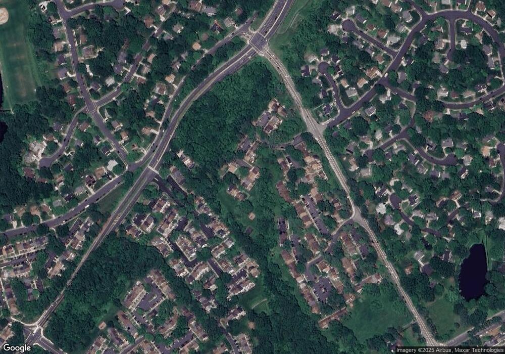
Map
Nearby Homes
- 9710 Ashbourn Dr
- 9769 High Water Ct
- 5307 Richardson Dr
- 9909 Lakepointe Dr
- 5711 Crownleigh Ct
- 5137 Richardson Dr
- 9513 Burdett Rd
- 5361 Gainsborough Dr
- 9662 Westport Ln
- 5714 Mason Bluff Dr
- 5658 Sutherland Ct
- 5313 Stonington Dr
- 9438 Wallingford Dr
- 9717 Commonwealth Blvd
- 5504 Winford Ct
- 5502 Saddlebrook Ct
- 5432 Brixham Ct
- 5838 High Bluff Ct
- 5431 Crows Nest Ct
- 5508 La Cross Ct
- 9717 Ashbourn Dr
- 9721 Ashbourn Dr
- 9715 Ashbourn Dr
- 9723 Ashbourn Dr
- 9713 Ashbourn Dr
- 9725 Ashbourn Dr
- 9711 Ashbourn Dr
- 9709 Ashbourn Dr
- 9745 Ashbourn Dr
- 9743 Ashbourn Dr
- 9731 Ashbourn Dr
- 9729 Ashbourn Dr
- 9741 Ashbourn Dr
- 9733 Ashbourn Dr
- 9727 Ashbourn Dr
- 9707 Ashbourn Dr
- 9739 Ashbourn Dr
- 9735 Ashbourn Dr
- 9705 Ashbourn Dr
- 9737 Ashbourn Dr