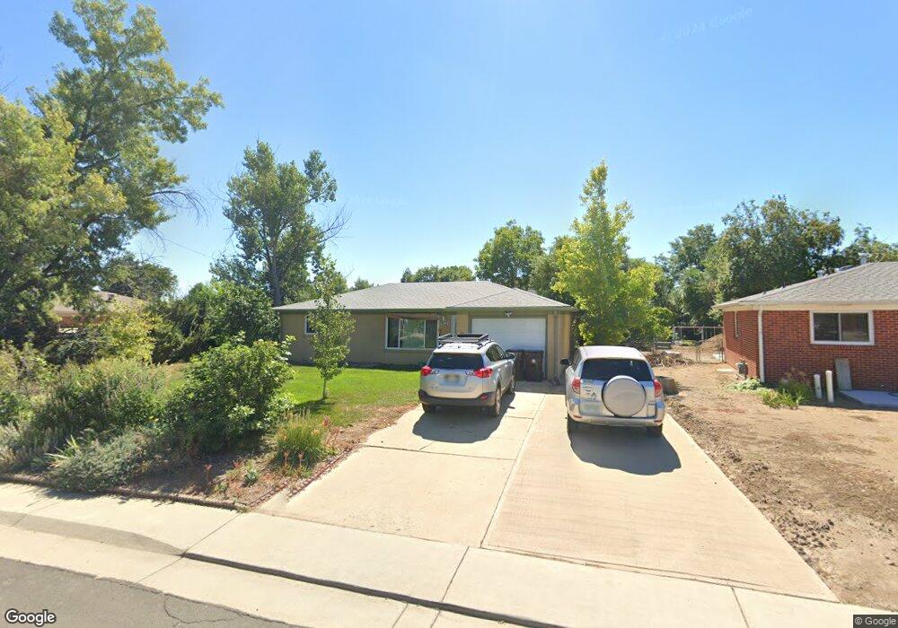
972 E 10th Ave Broomfield, CO 80020
Northmoor Estates NeighborhoodEstimated Value: $488,000 - $540,000
4
Beds
2
Baths
1,619
Sq Ft
$316/Sq Ft
Est. Value
About This Home
This home is located at 972 E 10th Ave, Broomfield, CO 80020 and is currently estimated at $511,849, approximately $316 per square foot. 972 E 10th Ave is a home located in Broomfield County with nearby schools including Birch Elementary School, Aspen Creek K-8 School, and Broomfield High School.
Ownership History
Date
Name
Owned For
Owner Type
Purchase Details
Closed on
Apr 27, 2011
Sold by
Panknin Bill
Bought by
Panknin Bill and Panknin Elaina
Current Estimated Value
Purchase Details
Closed on
Sep 12, 2008
Sold by
Welsh Kristine K
Bought by
Panknin Bill
Home Financials for this Owner
Home Financials are based on the most recent Mortgage that was taken out on this home.
Original Mortgage
$222,176
Outstanding Balance
$148,343
Interest Rate
6.6%
Mortgage Type
VA
Estimated Equity
$363,506
Purchase Details
Closed on
Jul 8, 2005
Sold by
Tribble Melba W
Bought by
Welsh Kristine K
Home Financials for this Owner
Home Financials are based on the most recent Mortgage that was taken out on this home.
Original Mortgage
$152,800
Interest Rate
5.64%
Mortgage Type
Fannie Mae Freddie Mac
Purchase Details
Closed on
Oct 13, 1965
Create a Home Valuation Report for This Property
The Home Valuation Report is an in-depth analysis detailing your home's value as well as a comparison with similar homes in the area
Home Values in the Area
Average Home Value in this Area
Purchase History
| Date | Buyer | Sale Price | Title Company |
|---|---|---|---|
| Panknin Bill | -- | None Available | |
| Panknin Bill | $217,500 | Land Title | |
| Welsh Kristine K | $191,000 | Stewart Title Of Denver | |
| -- | -- | -- |
Source: Public Records
Mortgage History
| Date | Status | Borrower | Loan Amount |
|---|---|---|---|
| Open | Panknin Bill | $222,176 | |
| Previous Owner | Welsh Kristine K | $152,800 |
Source: Public Records
Tax History Compared to Growth
Tax History
| Year | Tax Paid | Tax Assessment Tax Assessment Total Assessment is a certain percentage of the fair market value that is determined by local assessors to be the total taxable value of land and additions on the property. | Land | Improvement |
|---|---|---|---|---|
| 2025 | $2,174 | $31,670 | $8,710 | $22,960 |
| 2024 | $2,174 | $29,900 | $7,750 | $22,150 |
| 2023 | $2,170 | $34,850 | $9,040 | $25,810 |
| 2022 | $1,708 | $24,620 | $5,910 | $18,710 |
| 2021 | $1,699 | $25,320 | $6,080 | $19,240 |
| 2020 | $1,433 | $22,380 | $5,720 | $16,660 |
| 2019 | $1,430 | $22,530 | $5,760 | $16,770 |
| 2018 | $1,760 | $18,650 | $4,320 | $14,330 |
| 2017 | $1,734 | $20,620 | $4,780 | $15,840 |
| 2016 | $1,533 | $16,260 | $5,450 | $10,810 |
| 2015 | $1,480 | $13,640 | $5,450 | $8,190 |
| 2014 | $1,270 | $13,640 | $5,450 | $8,190 |
Source: Public Records
Map
Nearby Homes
- 951 E 10th Ave
- 961 Birch St
- 1010 Ash St
- 927 E 7th Ave
- 1201 Dover Ct
- 5005 W 128th Place
- 1152 Clubhouse Dr
- 1118 Oakhurst Dr
- 1123 Oakhurst Dr
- 1175 Oakhurst Dr
- 12695 Wolff St
- 1320 Stonehaven Ave
- 12620 Winona Ct
- 240 W 6th Ave
- 5143 Yates Place
- 37 E 14th Place
- 114 E 14th Ct
- 1490 Saint Andrews Dr
- 12545 Tammywood St
- 400 W Midway Blvd