972 Ga Highway 41 Shellman, GA 39886
Estimated Value: $221,000 - $352,576
3
Beds
3
Baths
3,076
Sq Ft
$93/Sq Ft
Est. Value
About This Home
This home is located at 972 Ga Highway 41, Shellman, GA 39886 and is currently estimated at $285,144, approximately $92 per square foot. 972 Ga Highway 41 is a home located in Randolph County with nearby schools including Randolph County Elementary School, Randolph Clay Middle School, and Randolph Clay High School.
Ownership History
Date
Name
Owned For
Owner Type
Purchase Details
Closed on
Jul 26, 2006
Sold by
Cowart Keith Lamar
Bought by
Cowart Keith Lamar and Cowart Crystal Bartlett
Current Estimated Value
Purchase Details
Closed on
Aug 4, 1998
Sold by
Rrrice Estate
Bought by
Cowart Keith Lamar
Create a Home Valuation Report for This Property
The Home Valuation Report is an in-depth analysis detailing your home's value as well as a comparison with similar homes in the area
Home Values in the Area
Average Home Value in this Area
Purchase History
| Date | Buyer | Sale Price | Title Company |
|---|---|---|---|
| Cowart Keith Lamar | -- | -- | |
| Cowart Keith Lamar | -- | -- | |
| Cowart Keith Lamar | -- | -- | |
| Cowart Keith Lamar | -- | -- |
Source: Public Records
Tax History
| Year | Tax Paid | Tax Assessment Tax Assessment Total Assessment is a certain percentage of the fair market value that is determined by local assessors to be the total taxable value of land and additions on the property. | Land | Improvement |
|---|---|---|---|---|
| 2024 | $3,517 | $91,400 | $5,400 | $86,000 |
| 2023 | $3,163 | $91,400 | $5,400 | $86,000 |
| 2022 | $3,163 | $91,400 | $5,400 | $86,000 |
| 2021 | $1,994 | $57,485 | $5,407 | $52,078 |
| 2020 | $2,053 | $57,485 | $5,407 | $52,078 |
| 2019 | $2,047 | $57,485 | $5,407 | $52,078 |
| 2018 | $2,029 | $57,485 | $5,407 | $52,078 |
| 2017 | $1,970 | $57,485 | $5,407 | $52,078 |
| 2016 | $1,935 | $56,288 | $4,210 | $52,078 |
| 2015 | -- | $56,288 | $4,210 | $52,078 |
| 2014 | -- | $50,758 | $4,210 | $46,548 |
| 2013 | -- | $50,757 | $4,210 | $46,547 |
Source: Public Records
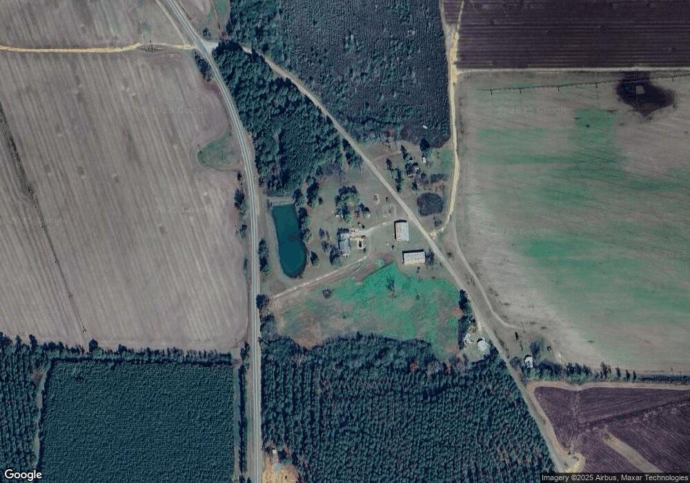
Map
Nearby Homes
- 00 Hwy 41
- 0 William Avera Rd
- 300 Five Forks Rd
- 0 Carver St
- 5147 Doverel Hwy
- 3109 Calhoun St
- 48 Cheney St
- 33895 Ga-45
- Cordrays Mill S
- 223 Deer Run Rd
- Pierce Rd
- 3418 New Hope Trail
- Sam Bentley Rd
- 31 Georgia 41
- County Line Rd Lot Unit WP001
- 197 E Church St
- 0 Georgia 41
- County Road 168
- 0 Buck Rd Unit 10658812
- 4499 Georgia 234
Your Personal Tour Guide
Ask me questions while you tour the home.