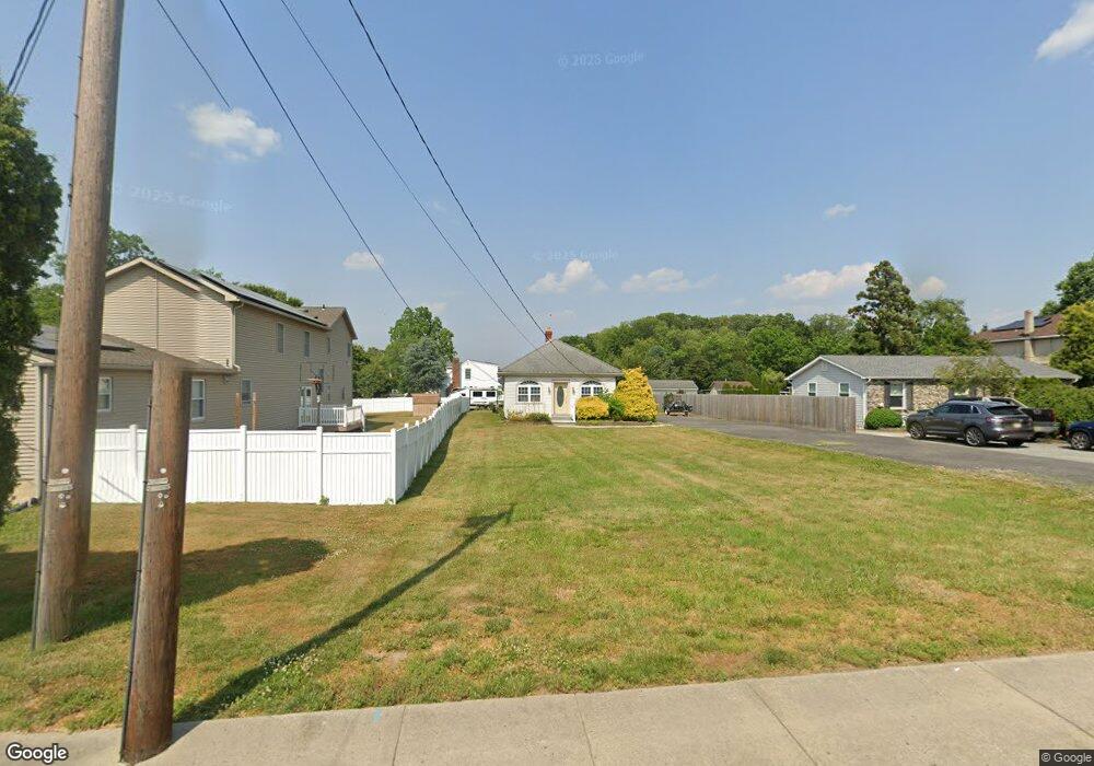
972 N Main St Williamstown, NJ 08094
Estimated Value: $281,508 - $375,000
3
Beds
1
Bath
1,296
Sq Ft
$242/Sq Ft
Est. Value
About This Home
This home is located at 972 N Main St, Williamstown, NJ 08094 and is currently estimated at $314,127, approximately $242 per square foot. 972 N Main St is a home located in Gloucester County with nearby schools including Williamstown High School, St. Mary School, and Finest of the Wheat Christian.
Ownership History
Date
Name
Owned For
Owner Type
Purchase Details
Closed on
Oct 24, 2022
Sold by
Patricia A Allen Irrevocable Trust
Bought by
Allen Thomas
Current Estimated Value
Purchase Details
Closed on
Feb 4, 2021
Sold by
Allen Patricia A
Bought by
Allen Thomas and Patricia A Allen Irrevocable T
Purchase Details
Closed on
Apr 11, 1991
Bought by
Allen Patricia A
Create a Home Valuation Report for This Property
The Home Valuation Report is an in-depth analysis detailing your home's value as well as a comparison with similar homes in the area
Home Values in the Area
Average Home Value in this Area
Purchase History
| Date | Buyer | Sale Price | Title Company |
|---|---|---|---|
| Allen Thomas | -- | -- | |
| Allen Thomas | -- | None Listed On Document | |
| Allen Thomas | -- | None Available | |
| Patricia A Allen Irrevocable Trust | -- | None Listed On Document | |
| Allen Patricia A | -- | -- |
Source: Public Records
Tax History Compared to Growth
Tax History
| Year | Tax Paid | Tax Assessment Tax Assessment Total Assessment is a certain percentage of the fair market value that is determined by local assessors to be the total taxable value of land and additions on the property. | Land | Improvement |
|---|---|---|---|---|
| 2025 | $5,361 | $146,400 | $34,400 | $112,000 |
| 2024 | $5,322 | $146,400 | $34,400 | $112,000 |
| 2023 | $5,322 | $146,400 | $34,400 | $112,000 |
| 2022 | $5,297 | $146,400 | $34,400 | $112,000 |
| 2021 | $3,792 | $146,400 | $34,400 | $112,000 |
| 2020 | $5,325 | $146,400 | $34,400 | $112,000 |
| 2019 | $5,292 | $146,400 | $34,400 | $112,000 |
| 2018 | $5,206 | $146,400 | $34,400 | $112,000 |
| 2017 | $4,870 | $137,500 | $39,900 | $97,600 |
| 2016 | $4,558 | $137,500 | $39,900 | $97,600 |
| 2015 | $4,421 | $137,500 | $39,900 | $97,600 |
| 2014 | $4,285 | $137,500 | $39,900 | $97,600 |
Source: Public Records
Map
Nearby Homes
- 24 W Lois Dr
- 743 Lois Dr
- 128 Kerry Lynn Ct
- 109 Lindale Ave
- 1003 Baywood Dr
- 1029 Baywood Dr
- 1240 Glassboro Rd
- 357 Brookdale Blvd
- 1309 Galloway Ct
- 404 Virgin Island Dr
- 1311 N Main St
- 23 Grandview Ave
- 9 Birchwood Ln
- 1 Birchwood Ln
- The Derby Plan at Grandview Mews at Monroe
- The Ascot Plan at Grandview Mews at Monroe
- 101 N Black Horse Pike
- 516 Saint Martin Ct
- 512 Lake Ave
- 507 Saint Kitts Dr