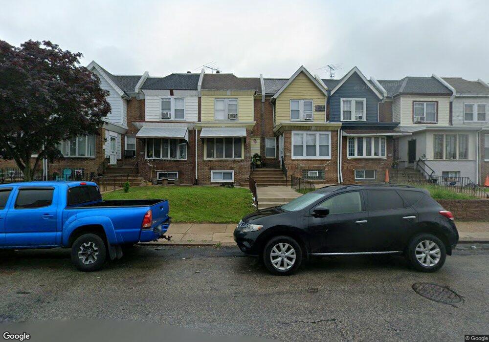
972 Pratt St Philadelphia, PA 19124
Lawncrest NeighborhoodEstimated Value: $206,000 - $235,565
3
Beds
1
Bath
1,392
Sq Ft
$159/Sq Ft
Est. Value
About This Home
This home is located at 972 Pratt St, Philadelphia, PA 19124 and is currently estimated at $221,891, approximately $159 per square foot. 972 Pratt St is a home located in Philadelphia County with nearby schools including Laura H Carnell School, Harding Warren G Middle School, and Samuel Fels High School.
Ownership History
Date
Name
Owned For
Owner Type
Purchase Details
Closed on
Nov 5, 2021
Sold by
Cordon Walter A and Cordon Amanda Rodriguez
Bought by
Cordon Amanda Rodriguez
Current Estimated Value
Purchase Details
Closed on
Nov 1, 2013
Sold by
Murray James W
Bought by
Cordon Walter A and Rodriguez Amanda
Purchase Details
Closed on
May 12, 1997
Sold by
Murray James W and Murray Jessie M
Bought by
Murray James W and Murray William
Purchase Details
Closed on
Jul 25, 1996
Sold by
Conard Dennis E
Bought by
Fishman Shai
Create a Home Valuation Report for This Property
The Home Valuation Report is an in-depth analysis detailing your home's value as well as a comparison with similar homes in the area
Home Values in the Area
Average Home Value in this Area
Purchase History
| Date | Buyer | Sale Price | Title Company |
|---|---|---|---|
| Cordon Amanda Rodriguez | -- | None Available | |
| Cordon Walter A | $40,000 | None Available | |
| Murray James W | -- | -- | |
| Fishman Shai | $74,900 | -- |
Source: Public Records
Tax History Compared to Growth
Tax History
| Year | Tax Paid | Tax Assessment Tax Assessment Total Assessment is a certain percentage of the fair market value that is determined by local assessors to be the total taxable value of land and additions on the property. | Land | Improvement |
|---|---|---|---|---|
| 2025 | $2,196 | $199,800 | $39,960 | $159,840 |
| 2024 | $2,196 | $199,800 | $39,960 | $159,840 |
| 2023 | $2,196 | $156,900 | $31,380 | $125,520 |
| 2022 | $1,470 | $156,900 | $31,380 | $125,520 |
| 2021 | $1,470 | $0 | $0 | $0 |
| 2020 | $1,470 | $0 | $0 | $0 |
| 2019 | $1,411 | $0 | $0 | $0 |
| 2018 | $1,421 | $0 | $0 | $0 |
| 2017 | $1,421 | $0 | $0 | $0 |
| 2016 | $1,421 | $0 | $0 | $0 |
| 2015 | $1,360 | $0 | $0 | $0 |
| 2014 | -- | $101,500 | $27,619 | $73,881 |
| 2012 | -- | $12,992 | $2,188 | $10,804 |
Source: Public Records
Map
Nearby Homes
- 5505 Loretto Ave
- 938 Marcella St
- 972 Bridge St
- 894 Granite St
- 934 Brill St
- 5640 Miriam Rd
- 4046 E Roosevelt Blvd
- 5659 Miriam Rd
- 5661 Miriam Rd
- 925 E Sanger St
- 951 Wakeling St
- 894 E Sanger St
- 883 Brill St
- 991 Carver St
- 996 Anchor St
- 854 E Sanger St
- 1048 Bridge St
- 929 1/2 Anchor St
- 889 Anchor St
- 1225 E Cheltenham Ave