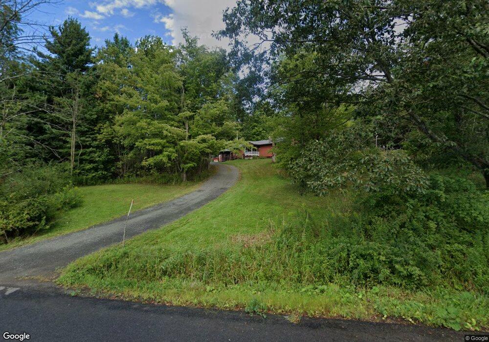
972 Sapbush Rd Chenango Forks, NY 13746
Estimated Value: $177,000 - $203,000
1
Bed
1
Bath
1,456
Sq Ft
$132/Sq Ft
Est. Value
About This Home
This home is located at 972 Sapbush Rd, Chenango Forks, NY 13746 and is currently estimated at $192,888, approximately $132 per square foot. 972 Sapbush Rd is a home with nearby schools including Caryl E. Adams Primary School, Tioughnioga Riverside Academy, and Whitney Point Senior High School.
Ownership History
Date
Name
Owned For
Owner Type
Purchase Details
Closed on
Jul 12, 2011
Sold by
Peterson Timothy L
Bought by
Shapley Ronald S
Current Estimated Value
Home Financials for this Owner
Home Financials are based on the most recent Mortgage that was taken out on this home.
Original Mortgage
$111,850
Outstanding Balance
$77,203
Interest Rate
4.58%
Mortgage Type
VA
Estimated Equity
$115,685
Purchase Details
Closed on
Apr 23, 1997
Create a Home Valuation Report for This Property
The Home Valuation Report is an in-depth analysis detailing your home's value as well as a comparison with similar homes in the area
Home Values in the Area
Average Home Value in this Area
Purchase History
| Date | Buyer | Sale Price | Title Company |
|---|---|---|---|
| Shapley Ronald S | $109,500 | None Available | |
| -- | -- | -- |
Source: Public Records
Mortgage History
| Date | Status | Borrower | Loan Amount |
|---|---|---|---|
| Open | Shapley Ronald S | $111,850 |
Source: Public Records
Tax History Compared to Growth
Tax History
| Year | Tax Paid | Tax Assessment Tax Assessment Total Assessment is a certain percentage of the fair market value that is determined by local assessors to be the total taxable value of land and additions on the property. | Land | Improvement |
|---|---|---|---|---|
| 2024 | $3,296 | $110,100 | $34,000 | $76,100 |
| 2023 | $3,380 | $110,100 | $34,000 | $76,100 |
| 2022 | $3,421 | $110,100 | $34,000 | $76,100 |
| 2021 | $3,454 | $110,100 | $34,000 | $76,100 |
| 2020 | $2,878 | $110,100 | $34,000 | $76,100 |
| 2019 | $0 | $110,100 | $34,000 | $76,100 |
| 2018 | $2,808 | $110,100 | $34,000 | $76,100 |
| 2017 | $2,646 | $110,100 | $34,000 | $76,100 |
| 2016 | $2,768 | $110,100 | $34,000 | $76,100 |
| 2015 | -- | $110,100 | $34,000 | $76,100 |
| 2014 | -- | $110,100 | $34,000 | $76,100 |
Source: Public Records
Map
Nearby Homes
- 3686 New York 206
- 3494 New York 206
- L20.2 Indian Brook Rd
- 152 Ingraham Rd
- 375 Ticknor Brook Rd
- 277 Ticknor Brook Rd
- 314 Sapbush Rd
- 313 South St
- 29 Parsons Rd
- 949 Page Brook Rd
- 186 Hollenbeck Rd
- 7674 State Route 79
- 15 Mill St
- 156 Hemingway Road Lot 2
- 156 Hemingway Road Lot 1
- 7800 New York 79
- 128 Spruce Ln
- 434 Cloverdale Rd
- 4996 State Highway 41
- 446 Conklin Hill Rd
- 973 Sapbush Rd
- 3864 State Route 206 Unit NYS
- 3677 State Route 206
- 897 Sapbush Rd
- 3807 State Route 206 Unit NYS
- 3807 206
- 3798 State Route 206 Unit NYS
- 874 Sapbush Rd
- 865 Sapbush Rd
- 3747 State Route 206 Unit NYS
- 856 Sapbush Rd
- 300 Beeman Hill Rd Land
- 272 Beeman Hill Rd
- 847 Sapbush Rd
- 3752 State Route 206 Unit NYS
- 3730 State Route 206 Unit NYS
- 3713 State Route 206 Unit NYS
- 818 Sapbush Rd
- 3722 State Route 206 Unit NYS
- 809 Sapbush Rd