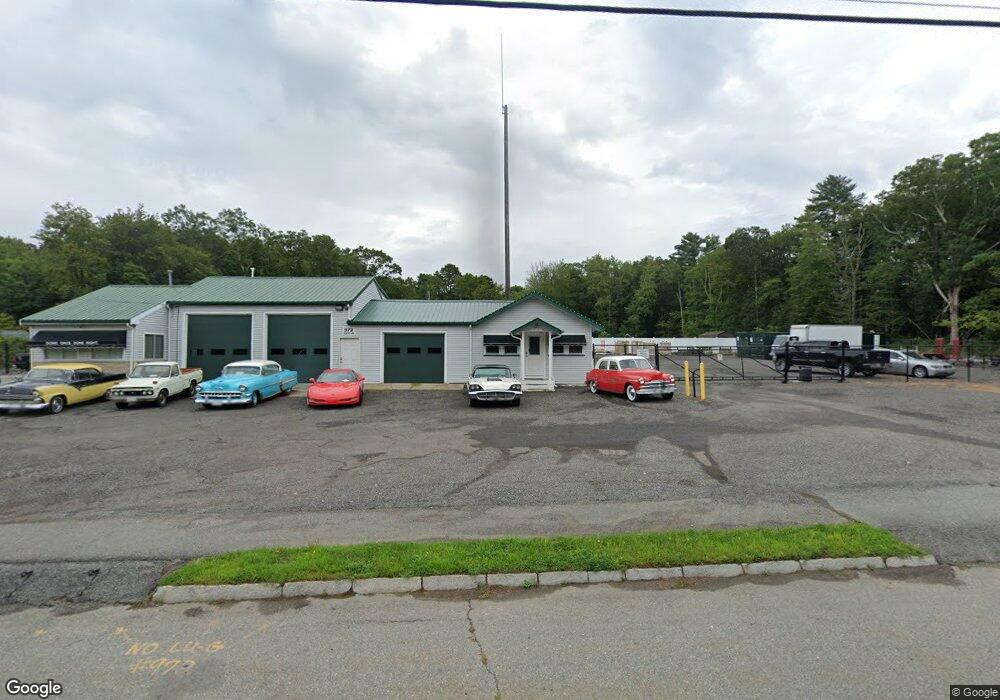
972 State Rd Westport, MA 02790
North Westport NeighborhoodEstimated Value: $555,386
--
Bed
--
Bath
4,529
Sq Ft
$123/Sq Ft
Est. Value
About This Home
This home is located at 972 State Rd, Westport, MA 02790 and is currently estimated at $555,386, approximately $122 per square foot. 972 State Rd is a home located in Bristol County with nearby schools including Alice A. Macomber Primary School, Westport Elementary School, and Westport Middle-High School.
Ownership History
Date
Name
Owned For
Owner Type
Purchase Details
Closed on
Jan 26, 2021
Sold by
Messier Real Estate Llc
Bought by
S F Enterprises Llc
Current Estimated Value
Home Financials for this Owner
Home Financials are based on the most recent Mortgage that was taken out on this home.
Original Mortgage
$300,000
Outstanding Balance
$267,137
Interest Rate
2.71%
Mortgage Type
Purchase Money Mortgage
Estimated Equity
$288,249
Purchase Details
Closed on
Aug 26, 2020
Sold by
Messier Robert A
Bought by
Messier Real Estate Llc
Purchase Details
Closed on
Jan 10, 2013
Sold by
Sousa Gerald W and Sousa Denise M
Bought by
Messier Robert A
Home Financials for this Owner
Home Financials are based on the most recent Mortgage that was taken out on this home.
Original Mortgage
$460,000
Interest Rate
3.36%
Mortgage Type
Commercial
Create a Home Valuation Report for This Property
The Home Valuation Report is an in-depth analysis detailing your home's value as well as a comparison with similar homes in the area
Home Values in the Area
Average Home Value in this Area
Purchase History
| Date | Buyer | Sale Price | Title Company |
|---|---|---|---|
| S F Enterprises Llc | $390,000 | None Available | |
| Messier Real Estate Llc | -- | None Available | |
| Messier Robert A | $575,000 | -- |
Source: Public Records
Mortgage History
| Date | Status | Borrower | Loan Amount |
|---|---|---|---|
| Open | S F Enterprises Llc | $300,000 | |
| Previous Owner | Messier Robert A | $460,000 | |
| Previous Owner | Messier Robert A | $195,500 | |
| Previous Owner | Messier Robert A | $30,000 |
Source: Public Records
Tax History Compared to Growth
Tax History
| Year | Tax Paid | Tax Assessment Tax Assessment Total Assessment is a certain percentage of the fair market value that is determined by local assessors to be the total taxable value of land and additions on the property. | Land | Improvement |
|---|---|---|---|---|
| 2025 | $3,499 | $469,600 | $223,100 | $246,500 |
| 2024 | $3,469 | $448,800 | $202,300 | $246,500 |
| 2023 | $3,466 | $424,800 | $189,400 | $235,400 |
| 2022 | $3,501 | $412,900 | $189,400 | $223,500 |
| 2021 | $3,363 | $390,100 | $172,200 | $217,900 |
| 2020 | $3,289 | $390,100 | $172,200 | $217,900 |
| 2019 | $3,247 | $392,600 | $172,200 | $220,400 |
| 2018 | $2,989 | $365,900 | $166,500 | $199,400 |
| 2017 | $2,934 | $368,100 | $166,500 | $201,600 |
| 2016 | $2,912 | $368,100 | $166,500 | $201,600 |
| 2015 | $2,764 | $348,500 | $166,500 | $182,000 |
Source: Public Records
Map
Nearby Homes
- 15 S Breault St
- 565 Highland Ave
- 96 Forge Rd
- 9 Kyle Jacob Rd
- 29 Union Ave
- 27 Dias Ave
- 21 Evergreen St
- 55 Lakeside Ave
- 116 Gifford Rd
- 735 Reed Rd
- 818 Reed Rd
- 3 Roller Coaster Way Unit Lot 1
- 20 Faulkner St
- 461 Reed Rd
- 1276 Old Fall River Rd
- 19 Charles Joseph Dr
- 2 Donna Marie Dr
- 100 D Dr
- 4 Main Rd
- 3 Diane Way
- 972 State Rd Unit 1
- 972A State Rd
- 972 State Rd Unit A
- 972 State Rd
- 960 State Rd
- 956 State Rd
- 992 State Rd
- 983 State Rd
- 985 State Rd
- 1002 State Rd
- 33 State Rd
- 41 N Berryman St
- 1005 State Rd
- Lot A Russell St
- LOT 4 Russell Ave
- LOT 3 Russell Ave
- 00 Russell St
- 0 Russell St Unit 71538167
- 0 Russell St Unit 71582040
- 0 Russell St Unit 1012303