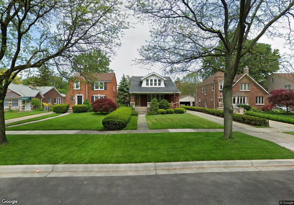
972 Washington Rd Unit Bldg-Unit Grosse Pointe, MI 48230
Estimated Value: $350,000 - $418,000
Studio
1
Bath
1,779
Sq Ft
$214/Sq Ft
Est. Value
About This Home
This home is located at 972 Washington Rd Unit Bldg-Unit, Grosse Pointe, MI 48230 and is currently estimated at $381,534, approximately $214 per square foot. 972 Washington Rd Unit Bldg-Unit is a home located in Wayne County with nearby schools including Richard Elementary School, Brownell Middle School, and Grosse Pointe South High School.
Ownership History
Date
Name
Owned For
Owner Type
Purchase Details
Closed on
Jan 11, 2018
Sold by
Koning Kurt N and Koning Michelle M
Bought by
Ellis Aleah M
Current Estimated Value
Purchase Details
Closed on
Mar 9, 2016
Sold by
Griggs Shirley A and The Dorothy B Griggs Revocable
Bought by
Koning Kurt N
Purchase Details
Closed on
Nov 27, 2007
Sold by
Griggs Dorothy Bernice and Griggs Shirley Ann
Bought by
Griggs Dorothy Bernice and The Dorothy Bernice Griggs Revocable Tr
Create a Home Valuation Report for This Property
The Home Valuation Report is an in-depth analysis detailing your home's value as well as a comparison with similar homes in the area
Home Values in the Area
Average Home Value in this Area
Purchase History
| Date | Buyer | Sale Price | Title Company |
|---|---|---|---|
| Ellis Aleah M | $215,000 | None Available | |
| Koning Kurt N | $170,000 | Chirco Title Agency Inc | |
| Griggs Dorothy Bernice | -- | None Available |
Source: Public Records
Tax History
| Year | Tax Paid | Tax Assessment Tax Assessment Total Assessment is a certain percentage of the fair market value that is determined by local assessors to be the total taxable value of land and additions on the property. | Land | Improvement |
|---|---|---|---|---|
| 2025 | $4,609 | $175,400 | $0 | $0 |
| 2024 | $3,969 | $148,900 | $0 | $0 |
| 2023 | $3,785 | $137,500 | $0 | $0 |
| 2022 | $5,478 | $128,600 | $0 | $0 |
| 2021 | $6,755 | $125,500 | $0 | $0 |
| 2019 | $6,649 | $99,200 | $0 | $0 |
| 2018 | $3,052 | $89,500 | $0 | $0 |
| 2017 | $3,271 | $94,200 | $0 | $0 |
| 2016 | $4,019 | $90,900 | $0 | $0 |
| 2015 | $7,621 | $85,500 | $0 | $0 |
| 2013 | $7,383 | $78,500 | $0 | $0 |
| 2012 | -- | $72,100 | $0 | $0 |
Source: Public Records
Map
Nearby Homes
- 407 Moran Rd
- 4496 Radnor St
- 4082 Hereford St
- 4528 Farmbrook St
- 464 Mckinley Ave
- 346 Mckinley Ave
- 17590 Mack Ave Unit 8
- 341 Mcmillan Rd
- 4607 Radnor St
- 4522 Hereford St
- 343 Mount Vernon Ave
- 17540 Mack Ave Unit 10
- 4104 Woodhall St
- 4383 Neff Ave
- 4861 Farmbrook St
- 314 Mount Vernon Ave
- 4880 Lodewyck St
- 412 Manor St
- 4865 Marseilles St
- 4845 University Place
- 972 Washington Rd
- 966 Washington Rd
- 978 Washington Rd
- 957 Lincoln Rd
- 967 Lincoln Rd
- 962 Washington Rd
- 982 Washington Rd
- 956 Washington Rd
- 963 Lincoln Rd
- 988 Washington Rd
- 953 Lincoln Rd
- 973 Lincoln Rd
- 943 Lincoln Rd
- 952 Washington Rd
- 947 Lincoln Rd
- 977 Lincoln Rd
- 967 Washington Rd
- 17898 Mack Ave
- 937 Lincoln Rd
- 946 Washington Rd
Your Personal Tour Guide
Ask me questions while you tour the home.