9720 Segar Rd Springport, MI 49284
Estimated Value: $225,068 - $260,000
4
Beds
2
Baths
2,664
Sq Ft
$92/Sq Ft
Est. Value
About This Home
This home is located at 9720 Segar Rd, Springport, MI 49284 and is currently estimated at $244,517, approximately $91 per square foot. 9720 Segar Rd is a home located in Eaton County with nearby schools including Springport Elementary School, Springport Middle School, and Springport High School.
Ownership History
Date
Name
Owned For
Owner Type
Purchase Details
Closed on
Oct 27, 2016
Sold by
Bristow Travis
Bought by
Bristow Travis and Ristow Stacy
Current Estimated Value
Home Financials for this Owner
Home Financials are based on the most recent Mortgage that was taken out on this home.
Original Mortgage
$131,969
Outstanding Balance
$107,425
Interest Rate
3.87%
Mortgage Type
FHA
Estimated Equity
$137,092
Purchase Details
Closed on
Apr 28, 2006
Sold by
Cendant Mobility Relocation Co
Bought by
Bristow Travis
Home Financials for this Owner
Home Financials are based on the most recent Mortgage that was taken out on this home.
Original Mortgage
$139,900
Interest Rate
6.37%
Mortgage Type
Fannie Mae Freddie Mac
Purchase Details
Closed on
Oct 13, 2005
Sold by
Henderson Daniel R and Henderson Heide
Bought by
Cendant Mobility Relocation Co
Create a Home Valuation Report for This Property
The Home Valuation Report is an in-depth analysis detailing your home's value as well as a comparison with similar homes in the area
Purchase History
| Date | Buyer | Sale Price | Title Company |
|---|---|---|---|
| Bristow Travis | -- | Attorney | |
| Bristow Travis | $139,900 | Talon Group | |
| Cendant Mobility Relocation Co | $159,667 | Fatic |
Source: Public Records
Mortgage History
| Date | Status | Borrower | Loan Amount |
|---|---|---|---|
| Open | Bristow Travis | $131,969 | |
| Closed | Bristow Travis | $139,900 |
Source: Public Records
Tax History
| Year | Tax Paid | Tax Assessment Tax Assessment Total Assessment is a certain percentage of the fair market value that is determined by local assessors to be the total taxable value of land and additions on the property. | Land | Improvement |
|---|---|---|---|---|
| 2025 | $2,219 | $91,647 | $0 | $0 |
| 2024 | $784 | $94,480 | $0 | $0 |
| 2023 | $747 | $84,379 | $0 | $0 |
| 2022 | $1,987 | $83,184 | $0 | $0 |
| 2021 | $1,892 | $71,713 | $0 | $0 |
| 2020 | $1,870 | $69,114 | $0 | $0 |
| 2019 | $1,837 | $66,190 | $0 | $0 |
| 2018 | $1,819 | $60,740 | $0 | $0 |
| 2017 | $1,848 | $63,376 | $0 | $0 |
| 2016 | $1,861 | $56,616 | $0 | $0 |
| 2015 | $1,945 | $60,636 | $0 | $0 |
| 2014 | $1,945 | $54,770 | $0 | $0 |
| 2013 | -- | $53,908 | $0 | $0 |
Source: Public Records
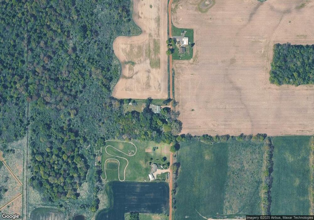
Map
Nearby Homes
- 28660 E Baseline Hwy
- 3014 Luella Ln
- 26506 E Baseline Hwy
- 26452 E Baseline Hwy
- 29510 S Dr N
- 330 Grand St
- 10870 Eaton Rapids Rd
- 9733 Blue Heron
- 598 E Main St
- 5901 Monroe Rd
- 216 Bayport Cir Unit 10
- 252 Bay Port Cir Unit 19
- 279 York Harbor Unit 34
- 998 E Butterfield Hwy
- Lot C Stoney Ln
- 19822 27 1 2 Mile Rd
- 21133 26 Mile Rd
- 26854 Q-Drive N
- 4601 Anderson Dr
- 8840 Houston Rd
- 9738 Segar Rd
- 9844 Segar Rd
- 9605 Segar Rd
- 9928 Segar Rd
- 9996 Segar Rd
- 23967 29 1/2 Mile Rd
- 28739 E Baseline Hwy
- 29 1/2 Mile Rd
- 23857 29 1/2 Mile Rd
- 23857 29 1 2 Mile Rd
- 28739 E Baseline Hwy
- 28743 E Baseline Hwy
- 28725 E Baseline Hwy
- 23698 29 1/2 Mile Rd
- 23700 29 1 2 Mile Rd
- 23700 29 1/2 Mile Rd
- 23650 29 1/2 Mile Rd
- 23650 29 1 2 Mile Rd
- 23645 29 1/2 Mile Rd
- 23624 29 1/2 Mile Rd
Your Personal Tour Guide
Ask me questions while you tour the home.