9725 Beverly Ct Pinckney, MI 48169
Estimated Value: $629,830 - $796,000
3
Beds
2
Baths
1,804
Sq Ft
$388/Sq Ft
Est. Value
About This Home
This home is located at 9725 Beverly Ct, Pinckney, MI 48169 and is currently estimated at $700,208, approximately $388 per square foot. 9725 Beverly Ct is a home located in Livingston County with nearby schools including Country Elementary School, Navigator School, and Pathfinder School.
Ownership History
Date
Name
Owned For
Owner Type
Purchase Details
Closed on
Jul 19, 2012
Sold by
Fannie Mae
Bought by
Gadsby Jason and Gadsby Amber
Current Estimated Value
Purchase Details
Closed on
Sep 8, 2011
Sold by
Gmac Mortgage Llc
Bought by
Fannie Mae
Purchase Details
Closed on
Aug 24, 2011
Sold by
Howe Darrell W and Howe Marilee J
Bought by
Gmac Mortgage Llc
Purchase Details
Closed on
Apr 24, 2004
Sold by
Howe Darrell and Howe Marilee
Bought by
Brownlee David K
Purchase Details
Closed on
Jul 14, 2000
Sold by
Keeler Richard D and Keeler Janet K
Bought by
Howe Darrell W and Howe Marilee J
Home Financials for this Owner
Home Financials are based on the most recent Mortgage that was taken out on this home.
Original Mortgage
$205,000
Interest Rate
8.19%
Create a Home Valuation Report for This Property
The Home Valuation Report is an in-depth analysis detailing your home's value as well as a comparison with similar homes in the area
Home Values in the Area
Average Home Value in this Area
Purchase History
| Date | Buyer | Sale Price | Title Company |
|---|---|---|---|
| Gadsby Jason | $275,000 | -- | |
| Fannie Mae | -- | -- | |
| Gmac Mortgage Llc | $284,403 | -- | |
| Brownlee David K | -- | -- | |
| Howe Darrell W | $255,000 | American Title Co |
Source: Public Records
Mortgage History
| Date | Status | Borrower | Loan Amount |
|---|---|---|---|
| Previous Owner | Howe Darrell W | $205,000 |
Source: Public Records
Tax History
| Year | Tax Paid | Tax Assessment Tax Assessment Total Assessment is a certain percentage of the fair market value that is determined by local assessors to be the total taxable value of land and additions on the property. | Land | Improvement |
|---|---|---|---|---|
| 2025 | $2,026 | $349,780 | $0 | $0 |
| 2024 | $1,968 | $326,540 | $0 | $0 |
| 2023 | $1,877 | $300,870 | $0 | $0 |
| 2022 | $3,678 | $242,080 | $0 | $0 |
| 2021 | $5,305 | $242,080 | $0 | $0 |
| 2020 | $5,261 | $237,230 | $0 | $0 |
| 2019 | $5,189 | $222,440 | $0 | $0 |
| 2018 | $5,129 | $206,740 | $0 | $0 |
| 2017 | $4,774 | $206,740 | $0 | $0 |
| 2016 | $4,660 | $180,350 | $0 | $0 |
| 2014 | $4,216 | $170,660 | $0 | $0 |
| 2012 | $4,216 | $164,540 | $0 | $0 |
Source: Public Records
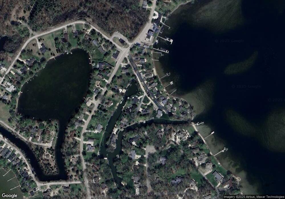
Map
Nearby Homes
- 00 Lori Ln
- 10191 Imus Rd
- 10239 Kress Rd
- 9560 Bluewater Dr
- 9862 Zukey Dr
- 3821 Langley Dr
- 10128 Elmira St
- 3597 Habitat Trail Unit 27
- 3590 Habitat Trail Unit 25
- 3450 Hooker Rd
- 11311 Dunlavy Ln
- 8625 Creston Dr
- 0000 Van Horn
- 8645 Country Club Dr
- 8655 Rushview Dr
- 8292 Pettysville Rd
- 3391 Orchard
- 3333 Junior Dr
- 11565 Locust Ln
- 6485 Woodland Rd
- 9728 Beverly Ct
- 9720 Beverly Ct
- 9731 Beverly Ct
- 9737 Beverly Ct
- 9716 Fireside Ct
- 9699 Beverly Dr
- 9770 Beverly Ct
- 9749 Beverly Dr
- 9770 Beverly Dr
- 9731 Beverly Dr
- 9720 Fireside Ct
- 9731 Beverly Dr
- 9737 Beverly Dr
- 9737 Beverly Dr
- 9725 Beverly St
- 9725 Beverly Hills Dr
- 9743 Beverly Dr
- 9717 Beverly Dr
- 9707 Kress Rd
- 9770 Beverly Dr
Your Personal Tour Guide
Ask me questions while you tour the home.