9725 Independence Dr Unit A109 Anchorage, AK 99507
Abbott Loop NeighborhoodEstimated Value: $120,000 - $190,890
2
Beds
1
Bath
760
Sq Ft
$215/Sq Ft
Est. Value
About This Home
This home is located at 9725 Independence Dr Unit A109, Anchorage, AK 99507 and is currently estimated at $163,630, approximately $215 per square foot. 9725 Independence Dr Unit A109 is a home located in Anchorage Municipality with nearby schools including Spring Hill Elementary School, Hanshew Middle School, and Service High School.
Ownership History
Date
Name
Owned For
Owner Type
Purchase Details
Closed on
Nov 1, 2001
Sold by
Gudz Gary W
Bought by
Espinoza Bertha I
Current Estimated Value
Home Financials for this Owner
Home Financials are based on the most recent Mortgage that was taken out on this home.
Original Mortgage
$18,046
Outstanding Balance
$7,116
Interest Rate
6.84%
Estimated Equity
$156,514
Create a Home Valuation Report for This Property
The Home Valuation Report is an in-depth analysis detailing your home's value as well as a comparison with similar homes in the area
Home Values in the Area
Average Home Value in this Area
Purchase History
| Date | Buyer | Sale Price | Title Company |
|---|---|---|---|
| Espinoza Bertha I | -- | First American Title |
Source: Public Records
Mortgage History
| Date | Status | Borrower | Loan Amount |
|---|---|---|---|
| Open | Espinoza Bertha I | $18,046 |
Source: Public Records
Tax History Compared to Growth
Tax History
| Year | Tax Paid | Tax Assessment Tax Assessment Total Assessment is a certain percentage of the fair market value that is determined by local assessors to be the total taxable value of land and additions on the property. | Land | Improvement |
|---|---|---|---|---|
| 2025 | -- | $175,800 | -- | $175,800 |
| 2024 | $2,282 | $152,100 | $0 | $152,100 |
| 2023 | $2,282 | $134,000 | $0 | $134,000 |
| 2022 | $2,176 | $129,200 | $0 | $129,200 |
| 2021 | $2,198 | $122,000 | $0 | $122,000 |
| 2020 | $2,088 | $122,800 | $0 | $122,800 |
| 2019 | $2,061 | $126,000 | $0 | $126,000 |
| 2018 | -- | $126,800 | $0 | $126,800 |
| 2017 | -- | $127,600 | $0 | $127,600 |
| 2016 | -- | $117,900 | $0 | $117,900 |
| 2015 | -- | $111,200 | $0 | $111,200 |
| 2014 | -- | $105,200 | $0 | $105,200 |
Source: Public Records
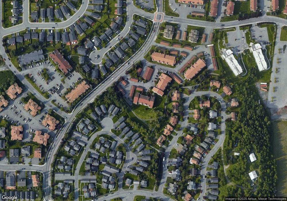
Map
Nearby Homes
- 9830 Reliance Dr
- 9730 Vanguard Dr Unit 12
- 9710 Vanguard Dr Unit 80
- 9700 Vanguard Dr Unit 70
- 2060 Sturbridge Cir
- 1917 Colony Place Unit 33
- 1914 Sturbridge Ct Unit 3
- 10260 Jamestown Dr Unit A8
- 9130 Golovin St
- 8000 Independence Park Dr
- 9599 Brayton Dr Unit 422
- 1900-1941 Marthas Vineyard Cir
- 10359 Valley Park Dr
- 267 Loop Unit 267
- 1611 Betula Cir
- 10261 Arborvitae Dr
- 10285 Arborvitae Dr
- 9499 Brayton Dr Unit 39
- 9499 Brayton Dr Unit 152
- 9499 Brayton Dr Unit 245
- 9725 Independence Dr
- 9725 Independence Dr
- 9725 Independence Dr
- 9725 Independence Dr Unit A305
- 9725 Independence Dr
- 9725 Independence Dr Unit 102A
- 9725 Independence Dr Unit 204A
- 9725 Independence Dr Unit A209
- 9725 Independence Dr Unit A303
- 9725 Independence Dr Unit 301A
- 9725 Independence Dr Unit A104
- 9725 Independence Dr Unit A206
- 9725 Independence Dr Unit A103
- 9725 Independence Dr Unit A307
- 9725 Independence Dr Unit A205
- 9725 Independence Dr Unit A301
- 9725 Independence Dr Unit A302
- 9725 Independence Dr Unit 207
- 9725 Independence Dr Unit A107
- 9725 Independence Dr Unit A106