9726 Mill Ct E Unit 2B Palos Park, IL 60464
Palos Park West NeighborhoodEstimated Value: $243,000 - $347,000
3
Beds
2
Baths
6,118
Sq Ft
$49/Sq Ft
Est. Value
About This Home
This home is located at 9726 Mill Ct E Unit 2B, Palos Park, IL 60464 and is currently estimated at $302,023, approximately $49 per square foot. 9726 Mill Ct E Unit 2B is a home located in Cook County with nearby schools including Palos West Elementary School, Palos South Middle School, and Amos Alonzo Stagg High School.
Ownership History
Date
Name
Owned For
Owner Type
Purchase Details
Closed on
Nov 21, 2025
Sold by
Morrar Nehad
Bought by
Morrar Nehad and Morrar Daniel
Current Estimated Value
Purchase Details
Closed on
Aug 8, 2024
Sold by
Campin Karen A
Bought by
Morrar Nehad
Purchase Details
Closed on
Jul 26, 2017
Sold by
Campin Kimberly Ann and Campin Karen Ann
Bought by
Campin Karen A
Purchase Details
Closed on
Apr 15, 2014
Sold by
Campin Roy C and Campin Karen Ann
Bought by
Campin Roy C and Campin Kimberly Ann
Purchase Details
Closed on
Oct 10, 2012
Sold by
Campin Roy C and Campin Kimberly Ann
Bought by
Campin Roy C and Campin Karen Ann
Purchase Details
Closed on
Jan 25, 2010
Sold by
Chicago Title Land Trust Company
Bought by
Campin Roy C and Campin Kimberly Ann
Create a Home Valuation Report for This Property
The Home Valuation Report is an in-depth analysis detailing your home's value as well as a comparison with similar homes in the area
Home Values in the Area
Average Home Value in this Area
Purchase History
| Date | Buyer | Sale Price | Title Company |
|---|---|---|---|
| Morrar Nehad | -- | None Listed On Document | |
| Morrar Nehad | $250,000 | None Listed On Document | |
| Campin Karen A | -- | None Available | |
| Campin Roy C | -- | None Available | |
| Campin Roy C | -- | None Available | |
| Campin Roy C | -- | Chicago Title Land Trust Co |
Source: Public Records
Tax History
| Year | Tax Paid | Tax Assessment Tax Assessment Total Assessment is a certain percentage of the fair market value that is determined by local assessors to be the total taxable value of land and additions on the property. | Land | Improvement |
|---|---|---|---|---|
| 2025 | $4,258 | $22,393 | $3,587 | $18,806 |
| 2024 | $4,258 | $22,393 | $3,587 | $18,806 |
| 2023 | $3,383 | $22,393 | $3,587 | $18,806 |
| 2022 | $3,383 | $15,776 | $2,892 | $12,884 |
| 2021 | $3,153 | $15,775 | $2,892 | $12,883 |
| 2020 | $3,096 | $15,775 | $2,892 | $12,883 |
| 2019 | $2,588 | $14,342 | $2,660 | $11,682 |
| 2018 | $2,512 | $14,342 | $2,660 | $11,682 |
| 2017 | $2,452 | $14,342 | $2,660 | $11,682 |
| 2016 | $2,708 | $13,662 | $2,313 | $11,349 |
| 2015 | $2,097 | $13,662 | $2,313 | $11,349 |
| 2014 | $2,031 | $13,662 | $2,313 | $11,349 |
| 2013 | $1,950 | $13,262 | $2,313 | $10,949 |
Source: Public Records
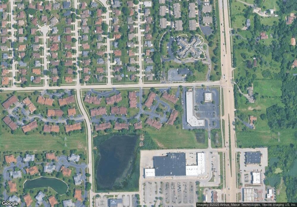
Map
Nearby Homes
- 12908 Mill Dr E Unit 1B
- 9724 W Creek Rd Unit E2
- 9724 W Creek Rd Unit B2
- 9748 Mill Dr E Unit 2E
- 7 Mccord Trace
- 12856 S Brian Place
- 9836 W Circle Pkwy
- 9590 Southmoor Dr
- 13330 Strandhill Dr
- 10050 W 127th St
- 11000 W 131st St
- 10300 Village Circle Dr Unit 1109
- 10300 Village Circle Dr Unit 4407
- 12407 S 91st Ave
- 13250 Jean Creek Dr
- 13348 S Stephen Dr
- 13332 S 88th Ave
- 13801 92nd Ave
- 13210 Georgetown Dr
- 8702 W 131st St
- 9726 Mill Ct E Unit E2L8
- 9726 Mill Ct E Unit 1-L8
- 9726 Mill Ct E Unit 1-L8
- 9726 Mill Ct E Unit 2-L8
- 9726 Mill Ct E Unit 1E
- 9728 Mill Ct E Unit B1
- 9728 Mill Ct E Unit 2-L7
- 9728 Mill Ct E Unit E2L7
- 9728 Mill Ct E Unit 1-L7
- 9728 Mill Ct E Unit 1-L7
- 9728 Mill Ct E Unit B2
- 9728 Mill Ct E Unit E1
- 9724 W Creek Rd Unit E1L1
- 9724 W Creek Rd Unit B2L1
- 9724 W Creek Rd Unit E2L1
- 9724 W Creek Rd Unit B1L1
- 9724 W Creek Rd Unit E1
- 12873 S Pebble Dr
- 12908 Mill Dr E Unit 1E
- 12908 Mill Dr E Unit B2L9
Your Personal Tour Guide
Ask me questions while you tour the home.