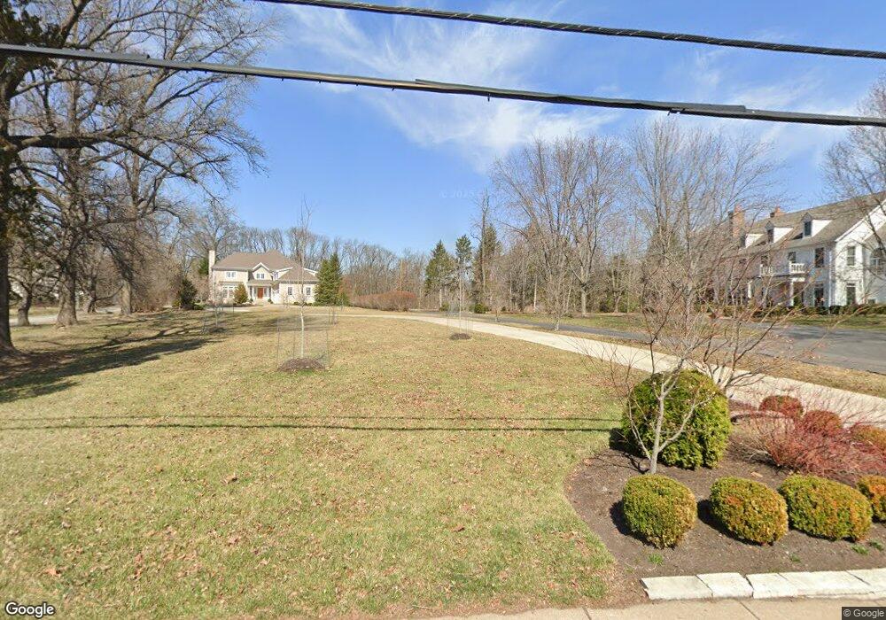
9727 Conway Rd Saint Louis, MO 63124
Estimated Value: $1,041,523 - $1,648,000
4
Beds
3
Baths
3,456
Sq Ft
$374/Sq Ft
Est. Value
About This Home
This home is located at 9727 Conway Rd, Saint Louis, MO 63124 and is currently estimated at $1,293,131, approximately $374 per square foot. 9727 Conway Rd is a home located in St. Louis County with nearby schools including Conway Elementary, Ladue 5th Grade Center, and Ladue Middle School.
Ownership History
Date
Name
Owned For
Owner Type
Purchase Details
Closed on
May 1, 2020
Sold by
Trout Timothy H and Trout Lynn F
Bought by
9727 Conway Llc
Current Estimated Value
Purchase Details
Closed on
Oct 15, 2019
Sold by
Key John A
Bought by
Trout Timothy H and Trout Lynn F
Purchase Details
Closed on
Dec 15, 1997
Sold by
Simpson Bonita K and Simpson Robert M
Bought by
Key John A and Key Sally B
Home Financials for this Owner
Home Financials are based on the most recent Mortgage that was taken out on this home.
Original Mortgage
$300,000
Interest Rate
7.18%
Create a Home Valuation Report for This Property
The Home Valuation Report is an in-depth analysis detailing your home's value as well as a comparison with similar homes in the area
Home Values in the Area
Average Home Value in this Area
Purchase History
| Date | Buyer | Sale Price | Title Company |
|---|---|---|---|
| 9727 Conway Llc | $600,000 | Orntic St Louis | |
| Trout Timothy H | $750,000 | Investors Title Co Clayton | |
| Key John A | -- | -- |
Source: Public Records
Mortgage History
| Date | Status | Borrower | Loan Amount |
|---|---|---|---|
| Previous Owner | Key John A | $300,000 |
Source: Public Records
Tax History
| Year | Tax Paid | Tax Assessment Tax Assessment Total Assessment is a certain percentage of the fair market value that is determined by local assessors to be the total taxable value of land and additions on the property. | Land | Improvement |
|---|---|---|---|---|
| 2025 | $6,960 | $237,180 | $237,180 | -- |
| 2024 | $6,960 | $103,130 | $103,130 | -- |
| 2023 | $6,947 | $103,130 | $103,130 | $0 |
| 2022 | $7,695 | $110,050 | $110,050 | $0 |
| 2021 | $7,320 | $110,050 | $110,050 | $0 |
| 2020 | $8,222 | $122,970 | $122,970 | $0 |
| 2019 | $12,185 | $184,950 | $122,970 | $61,980 |
| 2018 | $9,296 | $130,250 | $97,320 | $32,930 |
| 2017 | $9,256 | $130,250 | $97,320 | $32,930 |
| 2016 | $9,567 | $130,250 | $97,320 | $32,930 |
| 2015 | $9,121 | $130,250 | $97,320 | $32,930 |
| 2014 | $8,291 | $114,250 | $51,510 | $62,740 |
Source: Public Records
Map
Nearby Homes
- 25 Midpark Ln
- 31 Midpark Ln
- 10067 Springwood Dr
- 10310 Anzeiger Ave
- 10340 Savannah Ave
- 73 Overhills Dr
- 10435 Lylewood Dr
- 9928 Litzsinger Rd
- 22 Fordyce Ln
- 11 Fordyce Ln
- 1673 Frontenac Woods Ln
- 5 Whitfield Ln
- 55 Fair Oaks Dr
- 11 Chatfield Place Rd
- 21 Ramsgate Dr
- 11 N Tealbrook Dr
- 5 Ridgegate Dr
- 4 Ridgewood St
- 49 Granada Way
- 26 Huntleigh Woods